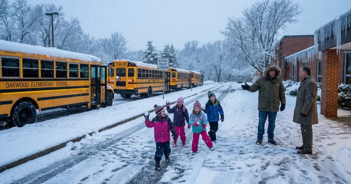
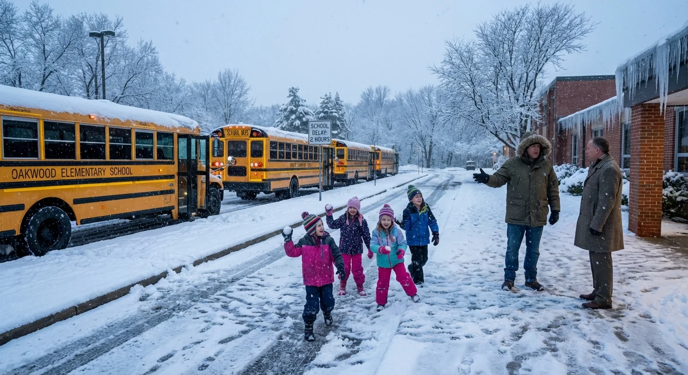
BREAKING: Schools across Rochester and the Finger Lakes are closing or delaying Thursday as dangerous cold and fast snow squalls move in. Wind chills will bite at daybreak. Roads will be slick and visibility may drop in bursts. Districts made the call tonight to protect students at bus stops and on buses. Expect staggered schedules and some full closures as crews fight ice and blowing snow. ❄️
What is driving the shutdowns
A surge of Arctic air is crossing Lake Ontario tonight. That cold air over warmer lake water is feeding narrow but intense bands of lake effect snow. These bands can flip from clear skies to whiteout in minutes. Gusty winds will push powder across treated roads. Fresh ice can form on shaded stretches and bridges before sunrise.
This pattern is classic for midwinter here, but it is sharpening. Lakes that stay warmer deeper into the season add extra heat and moisture to the air. That can supercharge snowfall rates in short bursts, even as long term winters trend more erratic. The result for Thursday is a high impact morning, with the worst window around the first bell. That is why many superintendents are choosing delays or closures now, not at 5 a.m.
How closure calls get made
Districts weigh a few key risks. Wind chill is near the top, because exposed skin can get hurt fast in this setup. Bus stop exposure matters more than the actual air temperature. If a child has to wait, even ten minutes in strong wind, the risk jumps. Transportation directors also review road salt performance in very cold air, because salt works slower. Crews need time to plow and let daylight raise pavement temps. That is where two hour delays help.
Visibility comes next. Lake effect bands can blind drivers who know every turn, then lift just as fast. Timing is also critical. If the worst weather lines up with first routes, a delay can shift travel into a safer window. When the mix of cold, ice, and blowing snow stays severe, districts move to full closure.
What to expect Thursday morning
- Slower commutes and drifting snow near open fields and lake-facing roads
- Subzero wind chills at bus stops, with stinging wind in exposed areas
- Patchy whiteouts under narrow snow bands, then quick breaks
- A mix of two hour delays and full closures across the region
Frostbite can begin quickly in strong winds and bitter cold. Limit time outdoors, cover skin, and avoid walking long distances if possible. Roads may look wet but can be thin ice. Leave extra space and slow down.
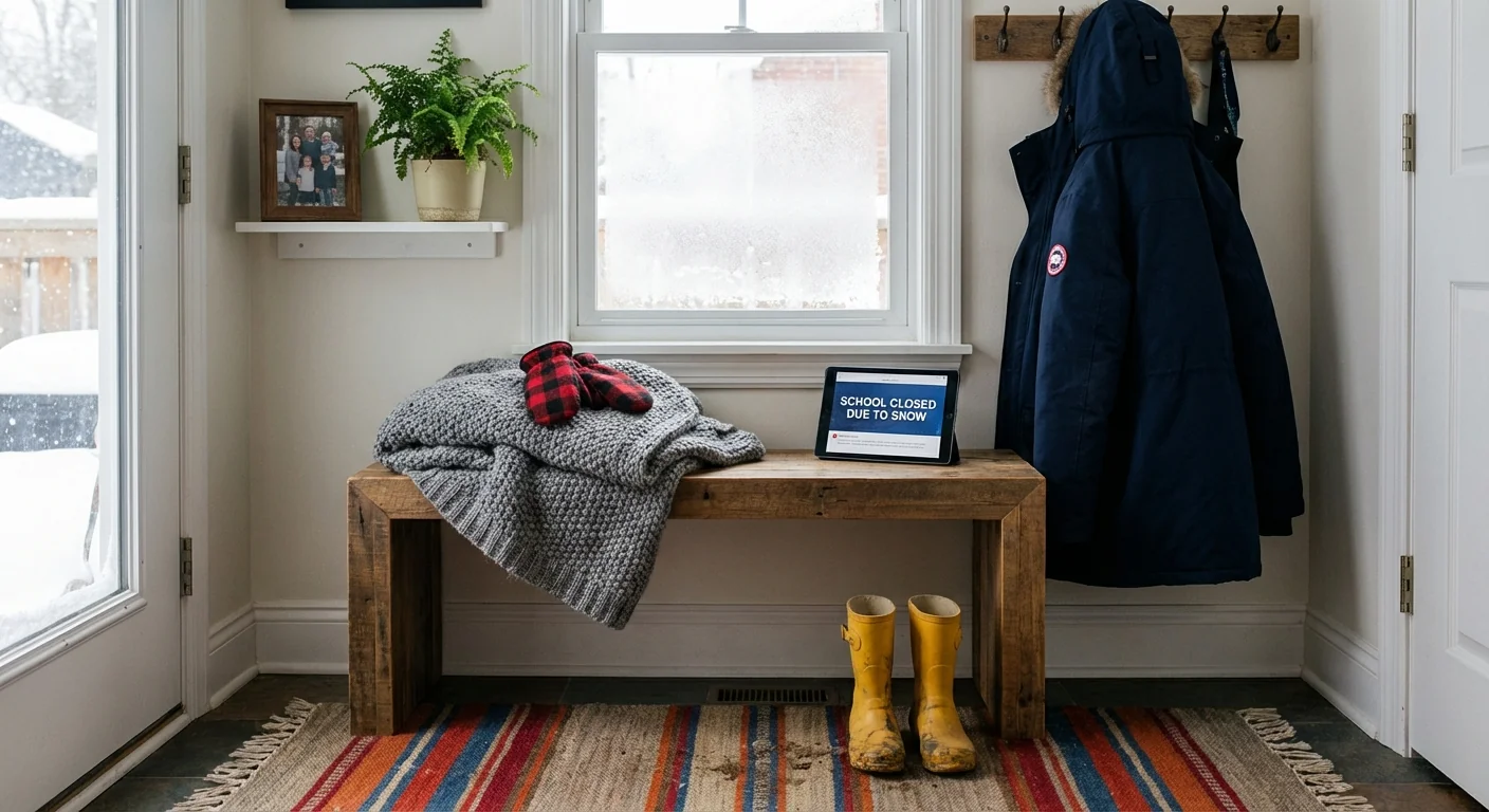
Get verified updates fast
Final calls can change close to dawn as bands shift. Do not rely on screenshots or secondhand posts. Use direct alerts and official channels.
- Your district website and parent portal for the final call
- District text or email alerts, plus robocalls if you use a landline
- Local TV and radio closing tickers during the early shows
- County emergency notifications for road advisories
Enable notifications on your district app tonight. Check your contact info is current. Charge phones. Lay out winter gear before bed so mornings stay calm.
Safety and sustainability in the storm
Bundle in layers, not bulk. A thin base layer that wicks, a warm middle layer, and a windproof shell keep heat in and sweat out. For drivers, clear all snow from the car roof and lights. Keep the tank at least half full to prevent fuel line freeze. If you must idle, keep it brief. Extended idling burns fuel and adds to local air pollution right where kids wait.
Tackle sidewalks early with a shovel before snow bonds to concrete. Use salt sparingly. A coffee cup of salt is enough for a driveway. Too much salt washes into streams and harms fish and plants. Sand or kitty litter boosts traction without the chemical load. At home, close curtains at night to hold heat. Seal drafts with towels at door bottoms. If you use a space heater, keep it three feet from anything that can burn and never leave it on while you sleep.
Check on neighbors who may struggle with heat or travel. A quick call can prevent a cold emergency.
The bottom line
Thursday will hit the hardest during the school travel window. That is why many districts are closing or delaying now. Expect more adjustments by dawn as bands wobble and road crews catch up. Keep your phone nearby, layer up, and plan for extra time. We will continue to monitor conditions and update as districts finalize their schedules. Safety comes first, and smart choices tonight will make tomorrow morning smoother for every family.


