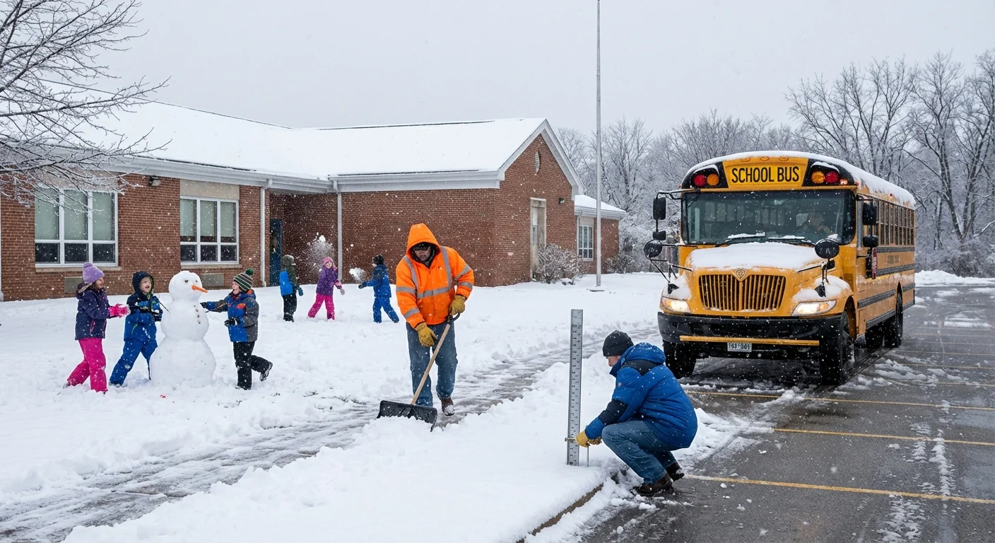
BREAKING: Snow Day Prediction Moves From Guesswork to Game Plan
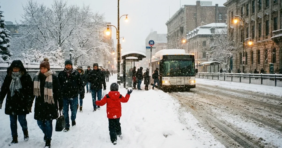
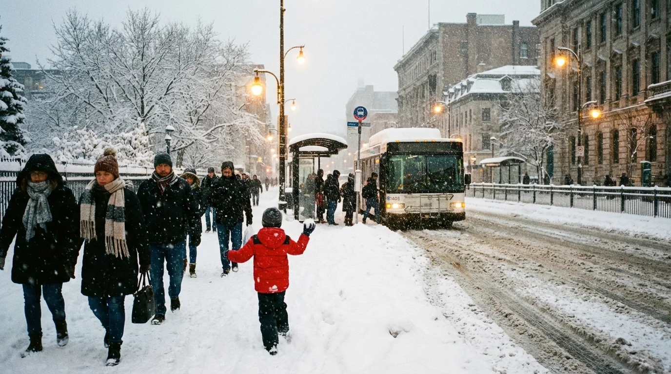
A burst of winter storms has put school calendars on the edge today. Heavy rain and mountain snow are soaking the Pacific Northwest. The Upper Midwest is dealing with freezing rain and fast, heavy bursts of snow. Washington, D.C. just logged its heaviest December snowfall since 2017. Closures and slick commutes followed. Families want answers by bedtime. Districts need decisions before dawn. The new goal is simple, plan better and waste less time.
Why this week is a turning point
Storms are hitting in quick waves, and they are messy. A rain and snow mix switches to ice in hours. Plows fall behind when snow rates surge. Wind chills close the door on outdoor time for students. That is why demand for accurate snow day prediction is surging right now.
I am tracking a clear pattern. Short, sharp storms are racing across the northern half of the country. Many arrive overnight, a worst case for buses and crosswalks. When the snow starts during the morning rush, even a few inches can trigger a delay. When it starts in the afternoon, early dismissals ripple through workplaces and hospitals. The margin for error is thin.
Today’s storm setup raises the risk of late calls. Rapid warming or cooling near sunrise can flip rain to ice within miles.
The climate signal behind the scramble
This is not just bad luck. A warming climate is reshaping winter. We still get bitter cold snaps. We also get more moisture in the air. When that moisture meets cold air, snow can pile up fast. When temperatures hover near freezing, ice takes over. That mix makes calls on closures harder, not easier.
NOAA’s winter outlook for 2025 to 2026 points to above average precipitation in many northern regions. The Northern Rockies, the Great Lakes, and the Pacific Northwest are most favored. That means more chances for snow days in those zones. It also means more storms that start as rain, then ice, then snow. The result is choppy weeks filled with delays, early dismissals, and patchy closures across neighboring districts.
How AI snow day tools actually work
New AI-powered services, like Snow Day Chance and Snow Day Calculator, digest a lot of data. They blend real time forecasts, local school history, and on the ground factors. Many claim accuracy in the mid 80 percent range. That is strong, but not perfect.
These inputs matter most in my live checks:
- Start time of snow or ice, especially near bus pickup
- Snowfall rate, not just totals, plus wind and visibility
- Road treatment capacity, hills, and rural routes
- School policy history on cold, ice, and secondary roads
AI excels at matching patterns between forecast and past decisions. It can flag when your district usually closes for two inches before 6 a.m., or when it rides out three inches that end by 4 a.m. But machines do not drive the buses. Local crews, microclimates, and surprise ice bands still decide the final call.
Pair the AI percentage with official alerts. Watch for Winter Storm Warnings, Ice Storm Warnings, and wind chill alerts overnight.
A practical, low stress plan for tonight
Here is the best way to turn predictions into action before you sleep.
- Check the timing. If heavy snow or freezing rain targets 4 a.m. to 8 a.m., increase your preparedness.
- Compare two sources. Use an AI tool and your local forecast discussion. Align on timing and snow or ice type.
- Map your commute risk. Hills, bridges, and untreated side streets raise odds of delay.
- Set your backup. Line up childcare, remote options, and staggered travel before 10 p.m.
If you run a district, lock in a threshold playbook. Define clear cutoffs for ice, wind chills, and snowfall rates. Coordinate with public works on road treatment priority. Communicate early windows for likely delay calls. Consistency builds trust, even when the call is a close one.
The sustainability angle you should not ignore
Better snow day calls save energy and cut waste. Cancel too early, and buildings sit heated for no reason. Cancel too late, and buses idle and retrace routes. Smarter timing reduces salt and sand use, and road salt harms rivers and soils. Many cities are testing brine, beet juice mixes, and improved spreaders to cut salt and keep roads safe. Families can help by reducing single car trips on marginal days, using transit snow routes, and delaying nonessential travel.
Models struggle with ice. A thin glaze can outweigh four inches of snow for safety. Favor caution when forecasts mention freezing rain.


