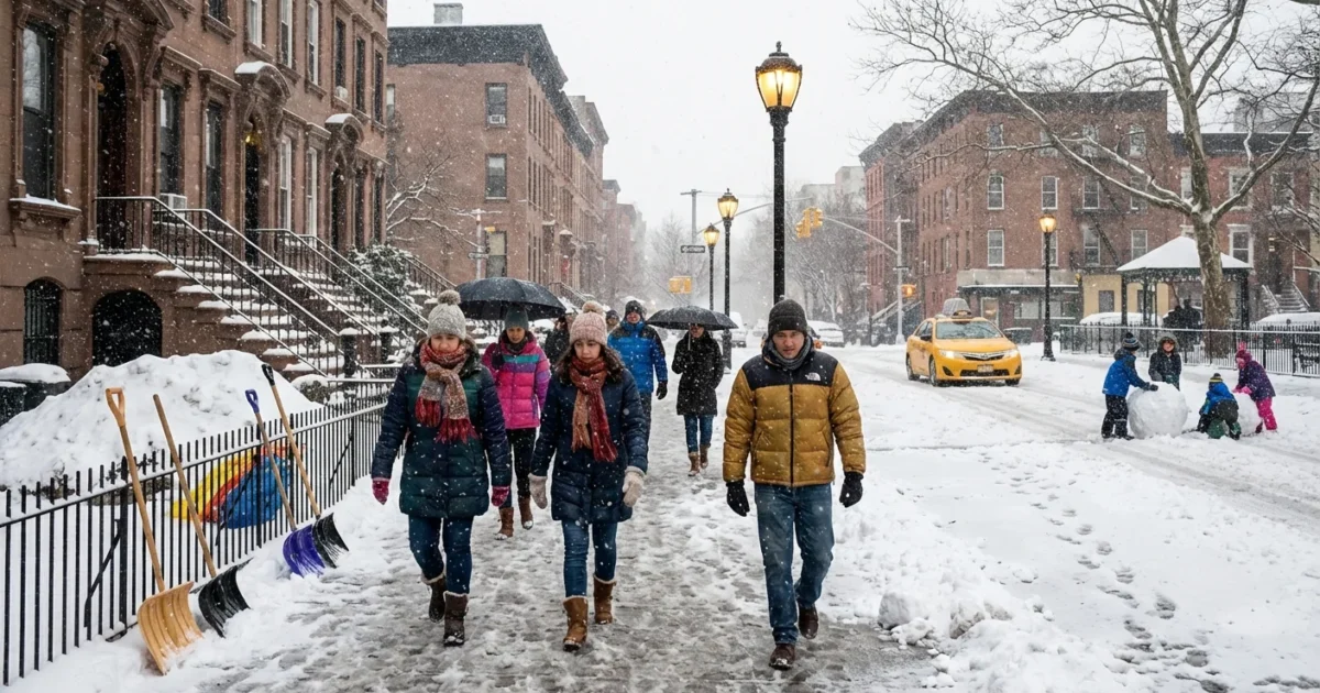
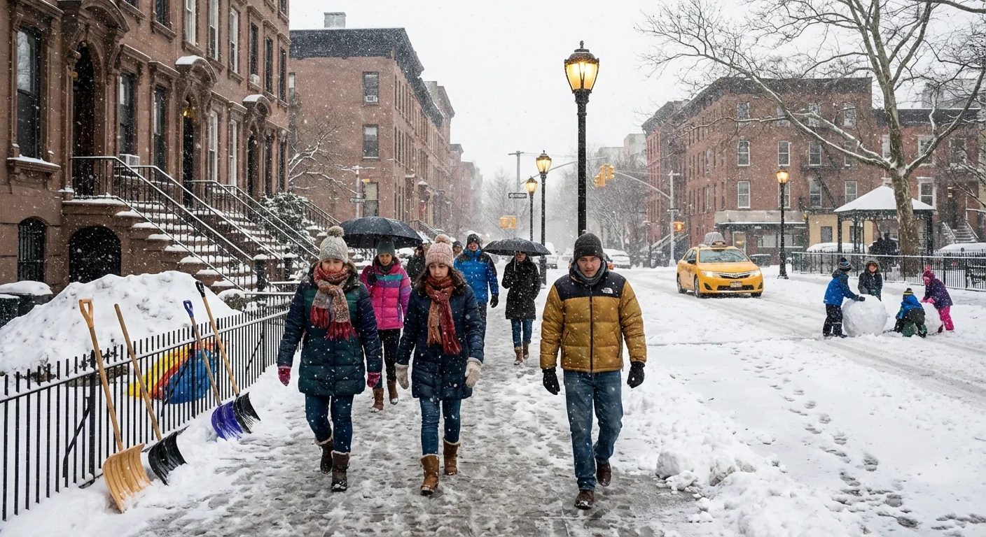
Breaking: Heavy snow and ice are moving into New York City tonight. The post-Christmas system, widely labeled Winter Storm Devin, is gathering strength. I am tracking bands of wet snow pushing across the five boroughs and into North Jersey. Some neighborhoods could see the most snow in years. Travel will slow fast. Air and rail delays are likely. Expect shifting conditions hour by hour ❄️
What is happening right now
Cold air has settled over the city. A surge of Atlantic moisture is feeding into it. That is a recipe for heavy, wet snow. Temperatures hover near freezing, which is ideal for quick stick. Winds are increasing, with gusts near 30 miles per hour along the water.
Here is the most likely setup by neighborhood. The Bronx and northern Manhattan sit in the coldest pocket, which supports 6 to 8 inches. Central and eastern Queens could reach 4 to 7 inches, with lower totals, 3 to 5 inches, near the coast where mixing is possible. Brooklyn likely sees 3 to 6 inches, the higher range north of the Prospect area. Staten Island faces 3 to 5 inches, along with a higher ice risk on the south shore. North and west New Jersey should run higher, with 6 to 10 inches possible.
How the storm will unfold
Light snow will fill in, then rates will rise quickly. The peak looks set for the late night through the Friday morning commute. Snowfall may reach 1 to 2 inches per hour under the strongest bands. That will overwhelm the urban heat island and stick to roads. A brief mix with sleet or freezing rain may clip southern Queens, coastal Brooklyn, and Staten Island. Where that mix occurs, travel will worsen because ice bonds to pavement.
By midday tomorrow, some areas could flip to lighter snow or drizzle. Temperatures may tick above freezing in coastal zones. That will compact the snow and create slush. Drains can clog, which leads to ponding at intersections.
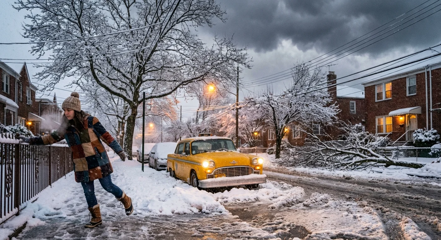
The most hazardous window arrives from late tonight into the morning commute. Expect sudden whiteouts, slick roads, and falling visibility below a quarter mile.
Why this storm can be intense
The Atlantic is warmer than normal for late December. That warmth loads extra moisture into the storm, which boosts snowfall rates when cold air is in place. Aloft, colder air is slipping in from the northwest. The clash helps create strong lift over the city.
This is how a warming climate now shapes winter here. We get fewer cold days overall, yet when the ingredients finally line up, storms can drop heavy snow over short periods. The rain snow line jumps around more, which raises the risk of ice. Urban heat and sea level rise also stress our streets. Slush plus a high tide can cause quick street flooding in low spots.
Impacts on travel and transit
Roads will turn slick fast once heavy bands arrive. Expect difficult driving on the Cross Bronx, BQE, Van Wyck, and Staten Island Expressway. Snow will stick to untreated ramps and bridges first. Plow crews are pretreating roads with brine, and they will focus on priority routes, but rates over one inch an hour will outpace cleanup for a time.
Subways should run, with delays where crews switch power or clear platforms. Bus routes will be detoured or slowed, especially on hills. Expect ground delays at the airports, with possible cancellations if visibility tanks. Ferry service may face wind holds during stronger gusts.
Power outages are possible where heavy, wet snow loads tree limbs, especially in outer borough neighborhoods. Coastal sections of southern Queens, Brooklyn, and Staten Island may see minor splashover during high tides. Wind gusts could reach 25 to 35 miles per hour, which will blow snow and cut visibility on open roads.
What to do now
- Avoid nonessential driving during the peak. Use transit if you must travel.
- Clear storm drains and hydrants near your home before the heavy bands arrive.
- Shovel early and often to prevent ice layers. Share salt with neighbors who need it.
- Charge phones and battery packs. Keep flashlights ready.
- Heat safely. Never use ovens or grills indoors. Check carbon monoxide alarms.
Use salt sparingly. A small cup for a sidewalk-sized area is enough. Excess salt harms street trees and flows into our waterways. Clearing drains now also reduces slush flooding later.
I am watching the exact track of the heaviest band. A small jog north or south will shift the 6 to 8 inch zone across borough lines. I am also tracking the position of the ice line near the coast. Any longer period of sleet will dent totals, but it will raise the crash risk.
The bottom line
New York City is facing a fast-hitting winter storm with heavy snow, pockets of ice, and strong gusts. This is likely the city’s biggest snow in a few years for some neighborhoods. It is also a clear sign of our new winter pattern, warmer overall yet still capable of intense bursts. Take care tonight, help a neighbor, and give plows the space to work. I will continue to update as the bands shift and the storm evolves. Stay safe, stay patient, and keep the city moving with care.


