Breaking: A surge of Arctic air is lining up for the Northeast and Mid-Atlantic, and it will bite. I am tracking a sharp drop in temperatures, pockets of light to moderate snow, and a real risk of ice. Commutes will slow, power demand will jump, and sidewalks will glaze. This is not hype. It is a fast-changing setup that demands attention.
What is happening now
Cold air is pressing south out of Canada. It will arrive in waves through late week, then reload into the weekend. Several New Jersey counties are under snow alerts, with 2 to 4 inches possible. Around Pittsburgh, I expect icy travel risk, especially near daybreak on Thursday. The rain and snow line will wobble near the I‑95 corridor at times. Small track shifts will matter.
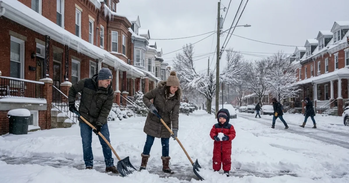
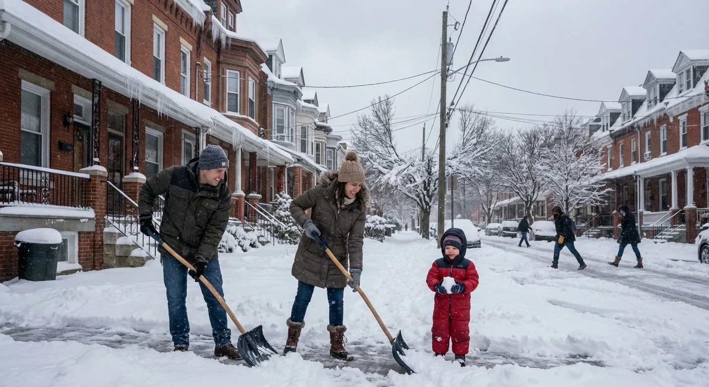
If you live from Philadelphia to New York City to Hartford, plan for slippery periods. Inland hills and valleys stand to stay colder, which boosts snow odds. Coastal zones will mix more, which lowers totals but raises ice risk.
Forecast confidence for precise snow totals is moderate at best. Temperatures near freezing will make the difference street by street.
What the polar vortex really means
Let’s clear the air. The polar vortex is not a single storm. It is a vast ring of very cold winds spinning high in the stratosphere. When that ring weakens, stretches, or shifts, it can unlock cold at the surface. The jet stream then dips, and Arctic air spills south.
This week’s setup shows a dip in the jet over the East. That opens the door for a brief but sharp cold shot. It is not the record-breaking kind we saw in past headline years. It is a punchy, disruptive shot that interacts with nearby moisture. That mix, cold with just enough Atlantic moisture, is what drives our snow and ice risk.
What I see in the models
The signal is clear on colder air. The signal is messy on storm tracks. Several shortwaves will ripple through, each with a narrow band of snow and a thin glaze zone. Here is the current read:
- Timing, first wave: late Wednesday night into Thursday morning, greatest impact west of I‑81 and around Pittsburgh.
- Timing, second wave: Thursday night into Friday from the Mid-Atlantic into southern New England.
- Weekend watch: a developing coastal low may brush the I‑95 corridor Saturday into Sunday, but track remains uncertain.
Snow amounts will be very sensitive to small shifts. Two to four inches are on the table for parts of New Jersey, with locally higher totals north and west of the city. South and east, warmer air aloft may turn snow to sleet or freezing rain. Inland New England has a better chance at staying snowy if the weekend wave organizes.
Black ice is likely where light snow ends with drizzle or fog. Bridges and untreated sidewalks will be treacherous before sunrise.
Impacts you should plan for
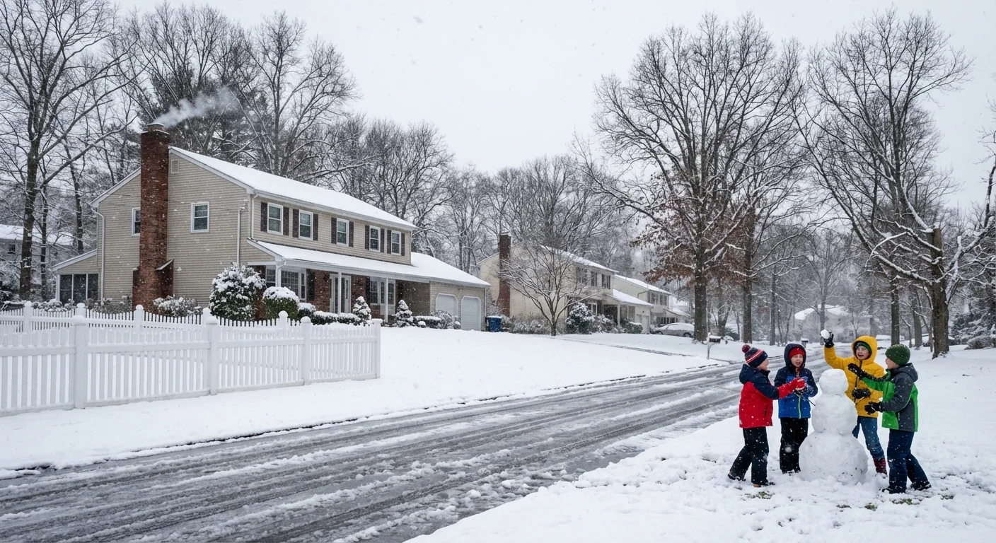
Expect a string of nuisance disruptions, with a few locally significant spots. Roads that look wet may be icy. School delays are likely in colder valleys and suburbs. Wind chills will sink into the teens and single digits at times. That can stress people without reliable heat and strain older buildings with drafty windows.
Power demand will spike during the coldest mornings. That is a load test for the regional grid. I do not see a major wind threat with this pattern, which helps, but scattered outages are always possible where ice collects on lines.
Climate context, clear and honest
Winter is still winter. Cold snaps will continue, even in a warming world. The long-term trend in the Northeast shows milder average winters and fewer deep freezes. Research points to a more wavy jet stream at times, which can swing between extremes. That means brief Arctic bursts can still happen, even as typical winter days grow milder and shorter.
For cities, this raises a new kind of risk. Icy events are becoming more common than blockbuster snowstorms. Ice is harder to manage, since a degree or two decides everything. That makes infrastructure, from drainage to salt storage, even more important.
How to prepare, with sustainability in mind
You can cut risk and cut waste at the same time. Focus on heat, traction, and visibility.
- Lower the thermostat a degree or two, then seal drafts with towels and weatherstripping to stay warm.
- Use sand or calcium magnesium acetate for traction where possible, which reduces salt burn on trees and waterways.
- Shovel early and often to prevent refreeze. Dry surfaces ice less.
- If you can, shift to transit on the iciest mornings, and slow down if you must drive.
Lay down a thin line of ice melt before the first flakes. You will use less later, and it works better.
Stay plugged into local advisories as this evolves. The exact track, the rain and snow line, and the overnight lows will decide your morning reality. I will continue to watch the data and update the timeline as new scans arrive.
Conclusion: A true polar vortex collapse is not the story here. The story is a quick, sharp tap of Arctic air linked with just enough moisture to snarl roads and test the grid. Prepare for ice, expect light to moderate snow in favored zones, and plan around the cold. Smart choices now will pay off when the first glaze shows up at dawn.


