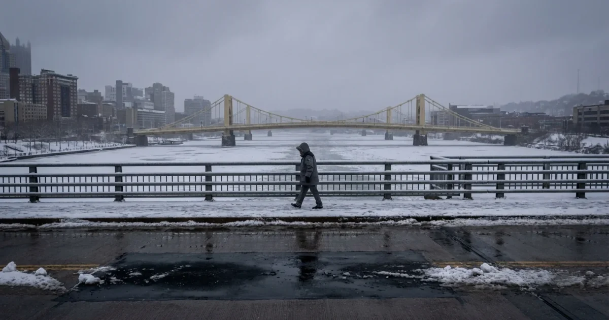
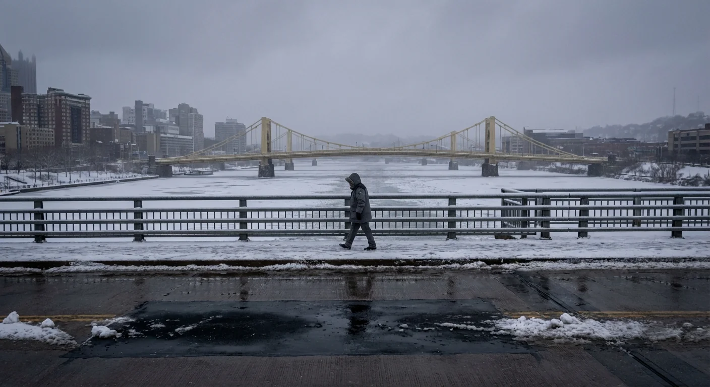
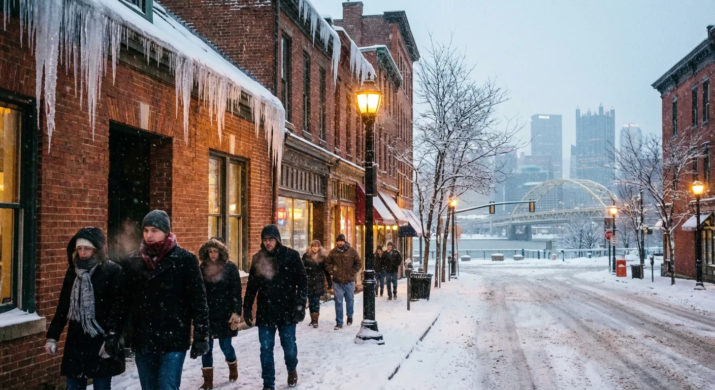
BREAKING: Early winter tightens its grip on Pittsburgh. Cold air is locked in, snow showers are spinning through, and the wind is biting. Roads are slick in spots. Temperatures sit near 28°F, and some valleys dipped into the teens at dawn. This chill is not leaving fast.
What is happening right now
Clouds are stuck over the city. Bands of light snow keep passing through. The breeze is steady and sharp. Visibility drops with each burst, then improves, then drops again. That on and off pattern will continue through tonight.
Air feels even colder than the thermometer. Wind is cutting across bridges and ridges. That is where you will feel it most. Side streets and untreated lots are slick. Watch for black ice on shaded stretches.
Gusts will peak on exposed hills and ridges, 45 to 55 mph at times. Expect difficult travel for high profile vehicles on I‑80 and ridge routes.
Why this cold snap matters
This is a harsh start to December. Average highs this time of year sit near 40°F. We are running 10 to 15 degrees colder in many spots. That gap matters. It means daytime thaw is limited, so ice lingers and rebuilds at night.
The human impact comes first. Prolonged freezing puts unhoused neighbors at risk. The city and county have warming centers on standby. If you see someone in distress, call 911. For shelter help and services, dial 211. Check on older neighbors and anyone who lives alone.
Football also enters the picture. The Steelers host the Dolphins on Monday night. Cold and wind will affect the kicking game, the passing game, and every fan in the stands. Stadium plans now include extra de‑icing and heat zones. If you are going, plan for a long, cold night.
The forecast, and how it stacks up
Today, occasional snow showers continue. Accumulation is light, but quick bursts can cover roads and cut visibility. Tonight, the wind stays up and the freeze deepens.
Friday brings a mix of clouds and flurries. Temperatures hold in the low 30s. Roads that look wet may be icy, especially early.
Saturday into early Sunday, expect more light snow. Totals look modest, around 1 to 3 centimeters, about up to an inch. Cold air rules the weekend. Highs on Sunday may struggle to reach the low 20s.
Early next week, the pattern eases slowly. We could see mid 30s by midweek. Until then, plan for hard freezes at night and a biting wind chill. For the game Monday night, expect feels like readings in the teens, maybe near single digits for a time.
Here is the climate context. Winters here have warmed overall in recent decades, yet cold shots still arrive when the jet stream dips and opens the door to polar air. Warmer lakes can feed extra moisture into these snow showers. So even in a warming climate, short blasts like this can feel fierce and snowy.
How to stay safe, and play it smart
Slow down, leave extra space, and go easy on the brakes. Give plows room to work. If you must drive into the ridges or along I‑80, be ready for crosswinds. Keep a winter kit in your car, with a blanket, hat, gloves, scraper, and a charged phone.
- Dress in layers, cover your head and hands, and wear waterproof boots
- Clear all car windows, lights, and roof before you drive
- Use salt or treatment sparingly, sand helps with traction and protects streams
- If you bike or walk, add lights and bright gear for low visibility
- For the game, arrive early, use public transit if you can, and have a warm exit plan
Stadium prep, keep hand warmers in inner pockets, wrap a scarf over your face, and use a thin base layer under a thicker mid layer and windproof shell.
At home, set the thermostat steady, not high and low. Let faucets drip to protect pipes. Check furnace vents for ice. Never use a grill or generator indoors. Carbon monoxide is deadly and has no smell.
Help your community, dial 211 for shelter and cold weather resources, and check on neighbors who may need a hand.


