Snow is still falling in Pittsburgh tonight, and the city is grinding through a true winter hit. I am tracking steady snow, low visibility near one mile, and a firm chill in the air. At 9 PM, the thermometer sits near 27 degrees, with a feels-like around 18. Roads are slick. Side streets are rutted. Arteries are slow.
What hit, and why it mattered
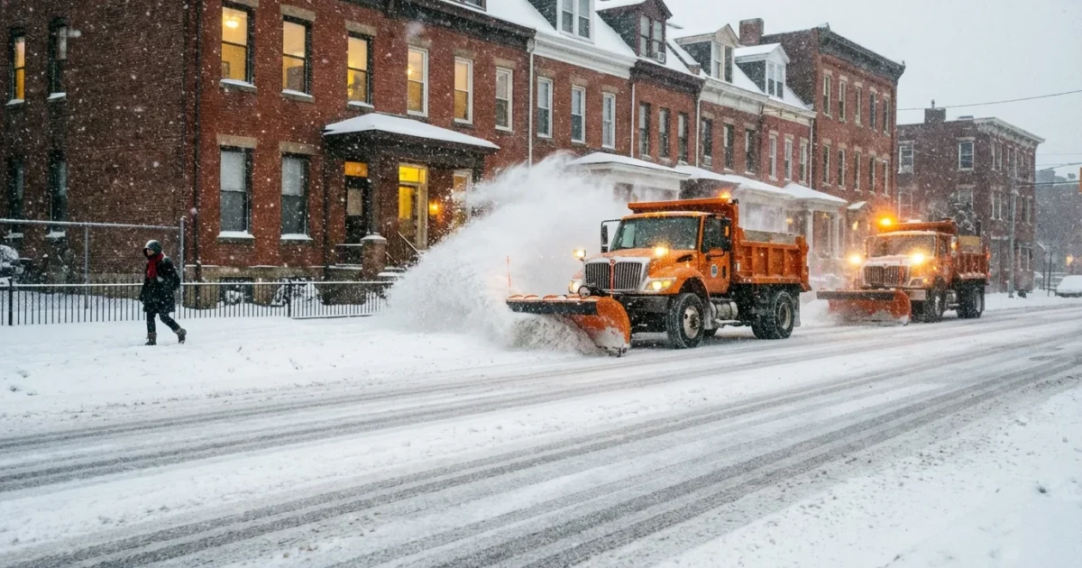
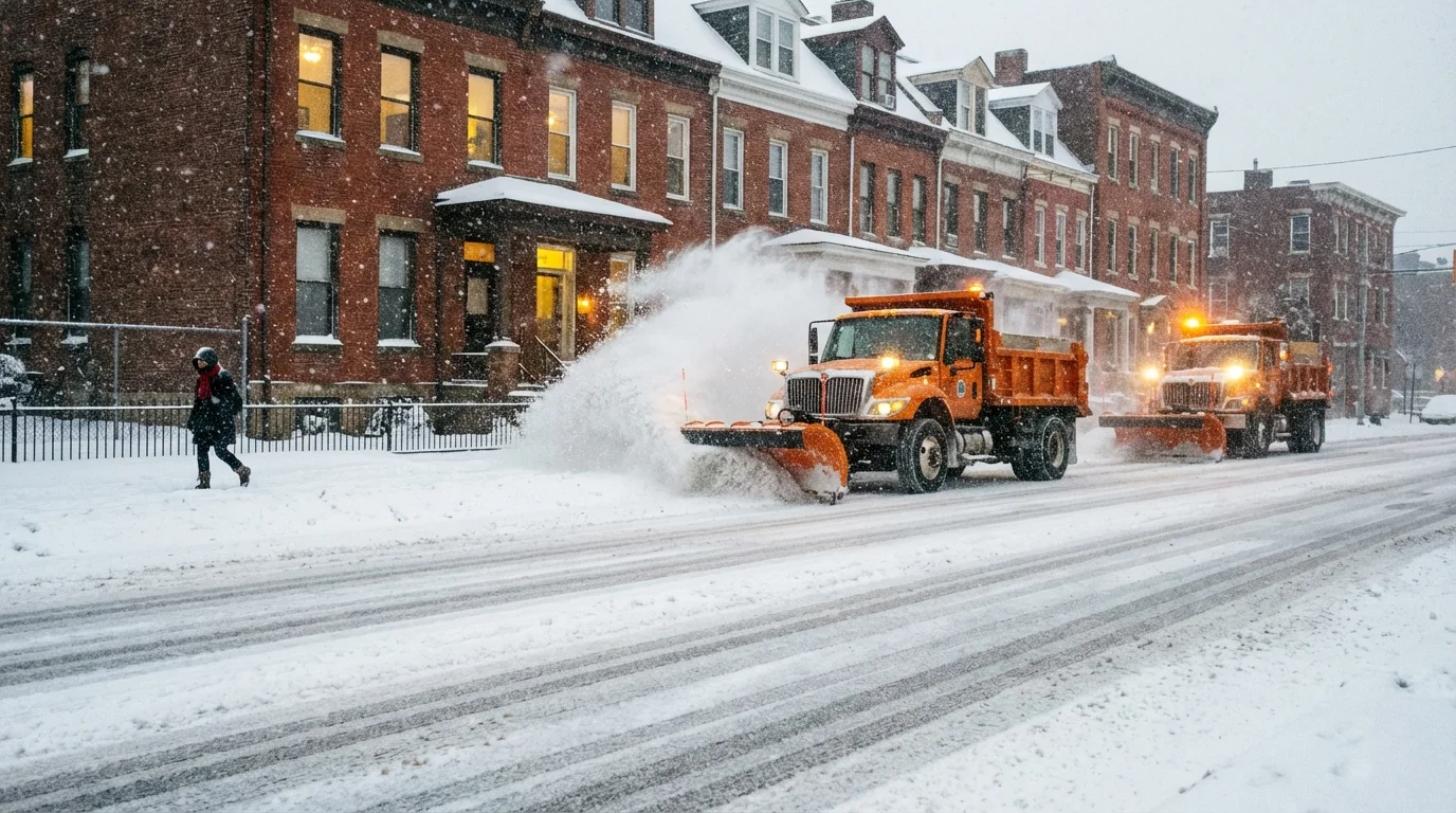
Snow began before dawn and hit right into the morning commute. Plows were out fast, but the timing still snarled travel. I measured about 3.6 inches in the city by early evening. Most of western Pennsylvania reported 2 to 4 inches. The higher ridges south and east stacked up 5 to 10 inches.
A Winter Storm Warning remains in effect south of Allegheny County. The city itself is under a Winter Weather Advisory. PennDOT reduced speed limits to 45 miles per hour on I‑70, I‑79, and I‑376. Pittsburgh Public Schools closed for the morning to keep buses and families out of the worst of it.
Snow is still falling at about half an inch per hour. Visibility wavers near a mile, which keeps plow work tricky and lane lines fuzzy. Crews are cycling, but new snow keeps covering tracks within minutes.
What comes next tonight
Expect another inch through the late night and pre‑dawn hours. The snow lightens after midnight and fades toward daybreak. The bigger headline becomes the cold. Lows near 13 degrees will lock in any slush. Black ice will form on bridges, ramps, and untreated hills.
Wind chills settle in the teens. Sidewalks that were wet at dusk will be hard and slick at sunrise. If you can delay a drive until crews finish a last pass, you should.
Cold and wind can numb exposed skin in minutes. Limit time outside, cover fingers, ears, and face, and keep pets indoors.
The setup, and the climate story
This storm rode a sharp dip in the jet stream that delivered cold air over our region. That cold air crossed the still‑open waters of Lake Erie, which added moisture. The result was steady snow with bursts of heavier bands, especially on the ridges. The morning timing turned a manageable total into a high‑impact commute.
There is a larger backdrop. Winters here are warming over the long term. We are seeing fewer deep cold months overall, but more short, sharp hits. Warmer lakes in early winter can juice snowfall when cold air arrives, even as seasonal snow totals trend choppier. Heavy precipitation events are also increasing, which can mean more intense storm windows. One storm does not define a trend, but tonight fits that pattern. Quick snow, sharp cold, and big swings that test roads, buses, and the power grid.
Travel, schools, and staying safe
Crews will keep treating interstates overnight. Expect patchy ice where salt gets diluted by new snow. Neighborhood streets, steps, and stoops will be the main hazard by morning. Bus stops and school zones will need extra attention, even with closures earlier today.
If you must travel, leave extra time. Clean the car fully, including the roof and lights. Keep a blanket, a phone charger, and a scraper in the car. Check furnace vents for drifting snow to prevent carbon monoxide buildup.
Go salt smart. A coffee mug of salt is enough for ten sidewalk squares. Scatter, do not dump. Use sand or grit for traction.
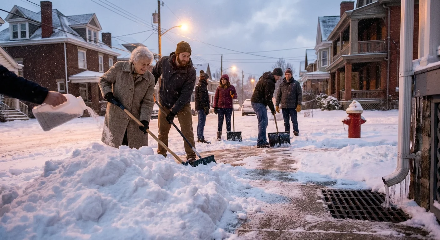
Here is what to do tonight to help yourself and your block:
- Shovel now while snow is fluffy, then sprinkle a light layer of salt.
- Clear storm drains and around hydrants to prevent ice dams.
- Park off narrow streets if you can, so plows can pass.
- Check on neighbors who are older or work nights.
Refreeze is certain near sunrise. Any slush left now will be ice by morning. Re‑treat steps and handrails.
The bottom line
Snow is easing, but the cold is about to take over. Plan for one more inch, a hard freeze, and slick starts on Tuesday night into Wednesday morning. I will keep watch through the night. Clear your steps, drive slow, and stay warm. The work you do now will make tomorrow safer for everyone. ❄️


