Breaking: Winter storm tightens its grip on Pennsylvania, Philadelphia bracing for a messy hit
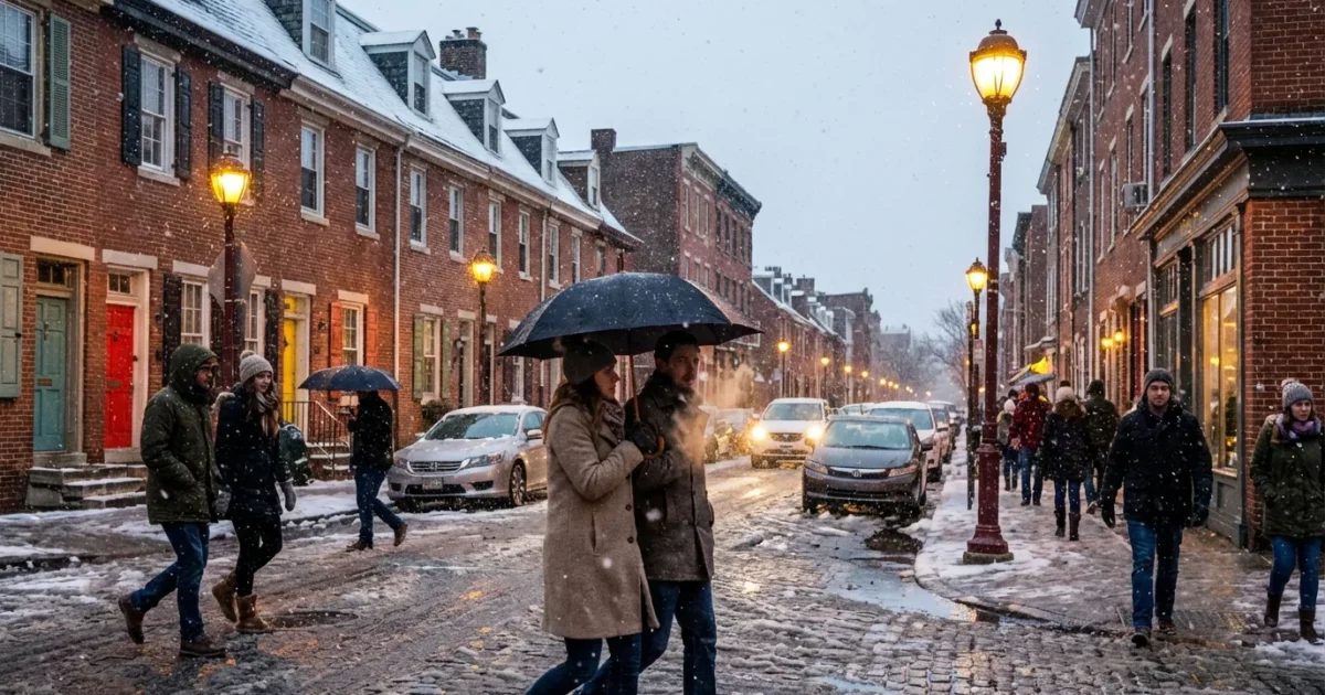
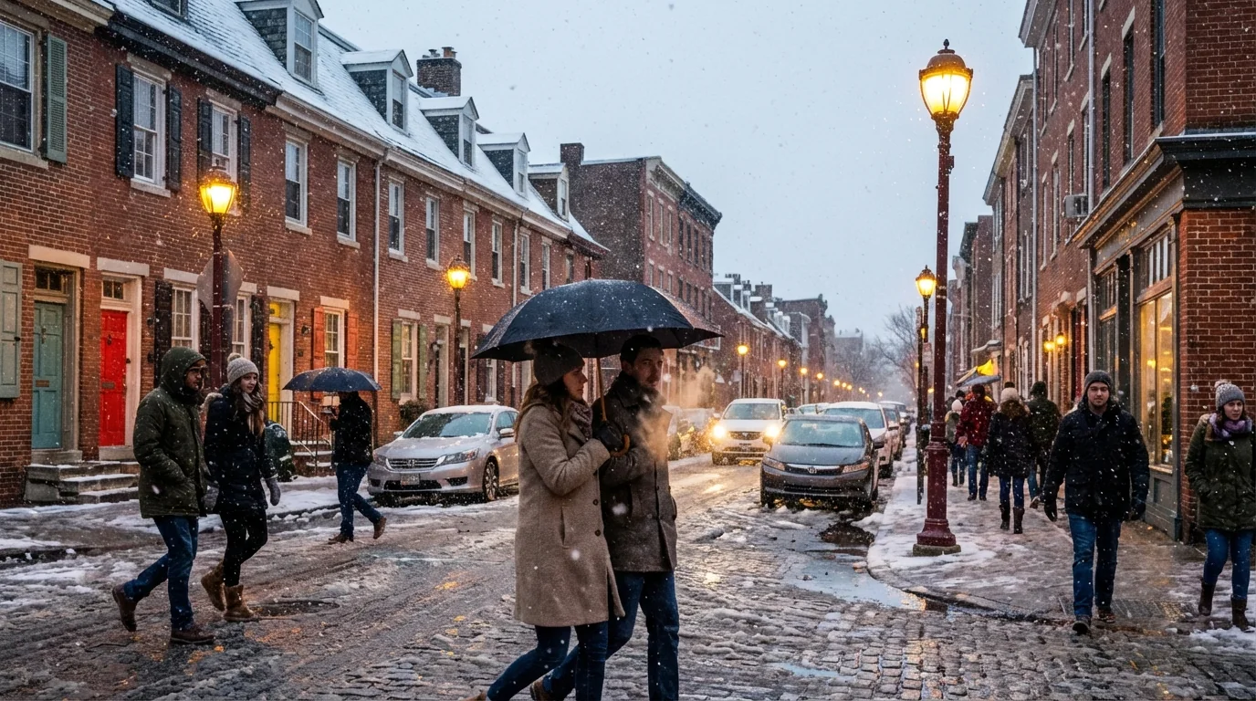
Philadelphia is on the edge of a fast growing winter storm tonight, and the line between a slick commute and a shutdown morning is thin. I am tracking a dynamic system that is dumping heavy snow over Western Pennsylvania. Closer to the city, the mix zone is wobbling. That means some blocks could see slush, while others wake up to plow piles. The School District of Philadelphia has already called an inclement weather closure. That is a clear sign of what is expected to unfold by daybreak. ❄️
The setup, a statewide punch with a tricky coastal feed
The storm is tapping deep Gulf and Atlantic moisture. Cold air is locked in to the west, which is why Western Pennsylvania is under winter storm warnings and stacking up heavy totals. Farther east, warmer air is riding up just above the surface. That is the classic recipe for snow changing to sleet or rain along the I‑95 corridor.
Philadelphia sits right on that dividing line. The exact storm track will decide which neighborhoods see quick accumulation and which see more of a cold, wind‑whipped rain. Expect rapid changes as the low strengthens and slides north.
Hazard snapshot, Plan for slick roads citywide tonight and early Thursday, scattered flight delays at PHL, possible power blips from heavy, wet snow on tree limbs, and bitter wind chills behind the storm.
What Philadelphia should expect through Thursday
Snow and a wintry mix will push in from the southwest, then intensify late. The city can see multiple precipitation types in a single morning commute. Center City could switch between wet snow and sleet. Northern and western neighborhoods have a better shot at plowable totals. South Jersey leans milder, which means more mixing, but a quick burst of heavy snow is still possible.
Winds increase as the storm deepens. That will drive visibility down in heavier bands. It will also make the air feel much colder. Roads that look only wet can flash freeze when the main band exits. If you must drive, slow down and leave space.
Air travel will be bumpy. Airlines often thin schedules ahead of storms like this. Give yourself extra time, check your flight status, and be ready for gate changes. On the rails and buses, expect delays as crews de‑ice and shift equipment.
Why the forecast could flip by neighborhood
This is a classic knife edge event. A few miles of storm track shift can change outcomes quickly. The city’s urban heat, plus warm ground from recent mild days, can cut early accumulation downtown. Heavier bursts can overcome that and stick fast on bridges, ramps, and untreated streets. In the Northwest and along higher terrain, colder air pools and snow stacks faster.
Watch these signals for a change in your local outcome:
- Big, wet flakes start mixing with sleet pellets
- Temperatures dip as heavier bands arrive
- Wind shifts from east to north, drawing colder air
- Radar shows a sharp, pivoting snow band over the city
Stay tuned to NWS Philadelphia Mt. Holly alerts and the city’s emergency updates. Forecasts will refine hour by hour as the rain snow line wobbles.
The climate signal, winters are warmer, storms are wetter
This storm fits a growing pattern across the Northeast. Winters are milder on average, yet the air is holding more moisture. When cold and moisture meet, short, intense snow bursts develop. The result is wider swings from rain to heavy snow, even inside one metro area.
Philadelphia’s aging storm drains and tree canopy feel those swings. Heavy, wet snow weighs down limbs, then a fast freeze stresses power lines and roads. Freeze and thaw cycles open potholes and chew up sidewalks. Sustainable choices help reduce the damage. Use less rock salt, clear storm grates, and spread sand where ice lingers. Salt runoff harms our rivers and pets, and it corrodes bridges.
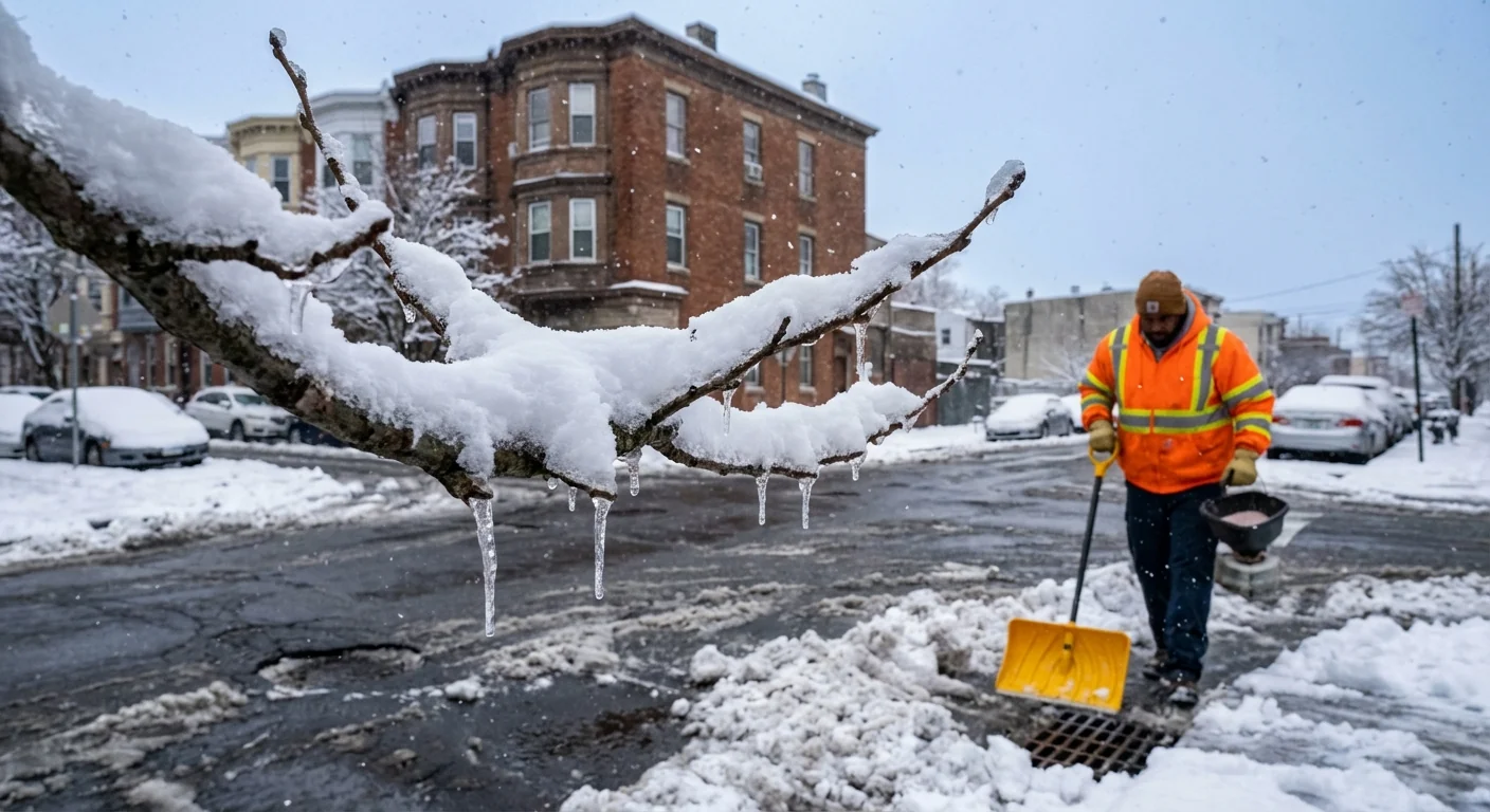
Shovel early and often, push, do not lift. Use a coffee cup of salt per sidewalk slab, and switch to calcium magnesium acetate or sand near trees and pets.
How to prepare right now
You still have a few key hours to get ready. Charge phones and backup batteries. Set alerts for your neighborhood. If you can, shift commutes and appointments. Clear leaves from curb drains to keep meltwater moving. Move cars off emergency routes so plows can work.
- Pack a simple winter kit, water, snacks, flashlight, charger, gloves
- Lay down a light salt layer before the first flakes, not after ice forms
- Check on neighbors, especially seniors and those without reliable heat
- Set home thermostats to a steady, safe temperature to avoid burst pipes
City services will prioritize emergency routes first. Keep sidewalks clear within the required time after the snow ends. Report downed limbs or outages to the city and your utility, not on social media.
Conclusion
Philadelphia is about to sit the exam every East Coast city faces, a wet, fast, high impact winter storm on a warming planet. Western Pennsylvania is already taking the heavy snow hit. Here, the mix line is our wild card. Expect rapid shifts, plan for delays, and take care of the basics tonight. Smart choices reduce risk for you, your block, and the Schuylkill and Delaware we share. I will keep tracking the banding and the flip zones, and I will update as the storm evolves. Stay safe, stay patient, and let the plows and crews work.


