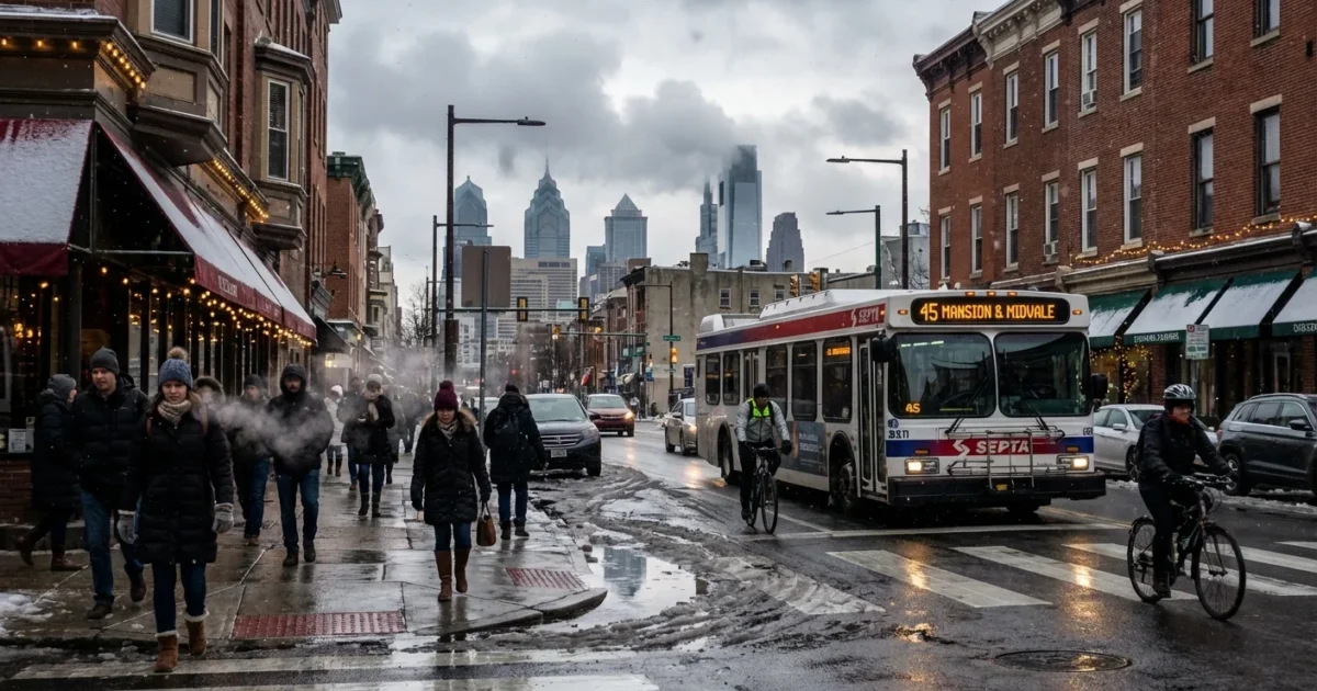
BREAKING: Philadelphia’s first measurable snow of the season is set to arrive tonight. A fast, compact winter system is tracking in, and it will flip rain to snow during the evening. Roads could turn slick right as weekend plans pick up.
It is mostly cloudy across the city this afternoon with temperatures near 30°F, climbing into the low 40s for a short time, then cooling again after sunset. The window for snow is brief, but it is well timed to cause issues on streets, bridges, and sidewalks.
What to Expect Tonight
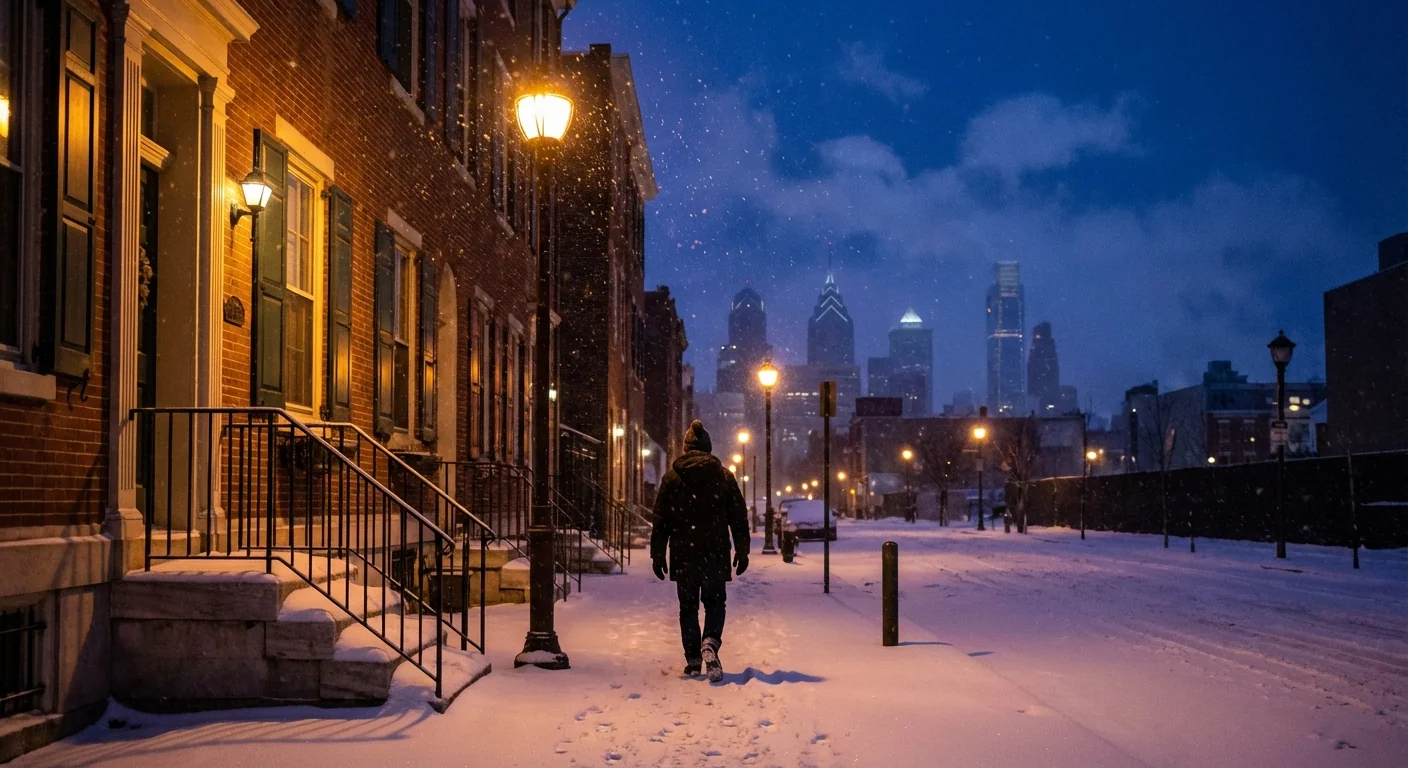
Rain is likely to begin around the dinner hour, near 6 p.m., as mild air hangs on at the surface. As colder air slides in from the northwest, rain will change to snow between 8 and 10 p.m. Most neighborhoods are in line for 1 to 4 inches, with a quick burst possible right after the changeover. Heavier lawns and elevated surfaces will coat first. Roads may lag, then ice as temperatures dip toward freezing overnight.
This system is a classic clipper, quick moving and moisture efficient. It will exit by mid to late Sunday morning. Skies should brighten by midday, though leftover slick spots will linger in shaded areas.
Bridges, ramps, and untreated side streets will ice first. Black ice is likely before daybreak Sunday. Slow down and leave extra space.
Travel and Safety
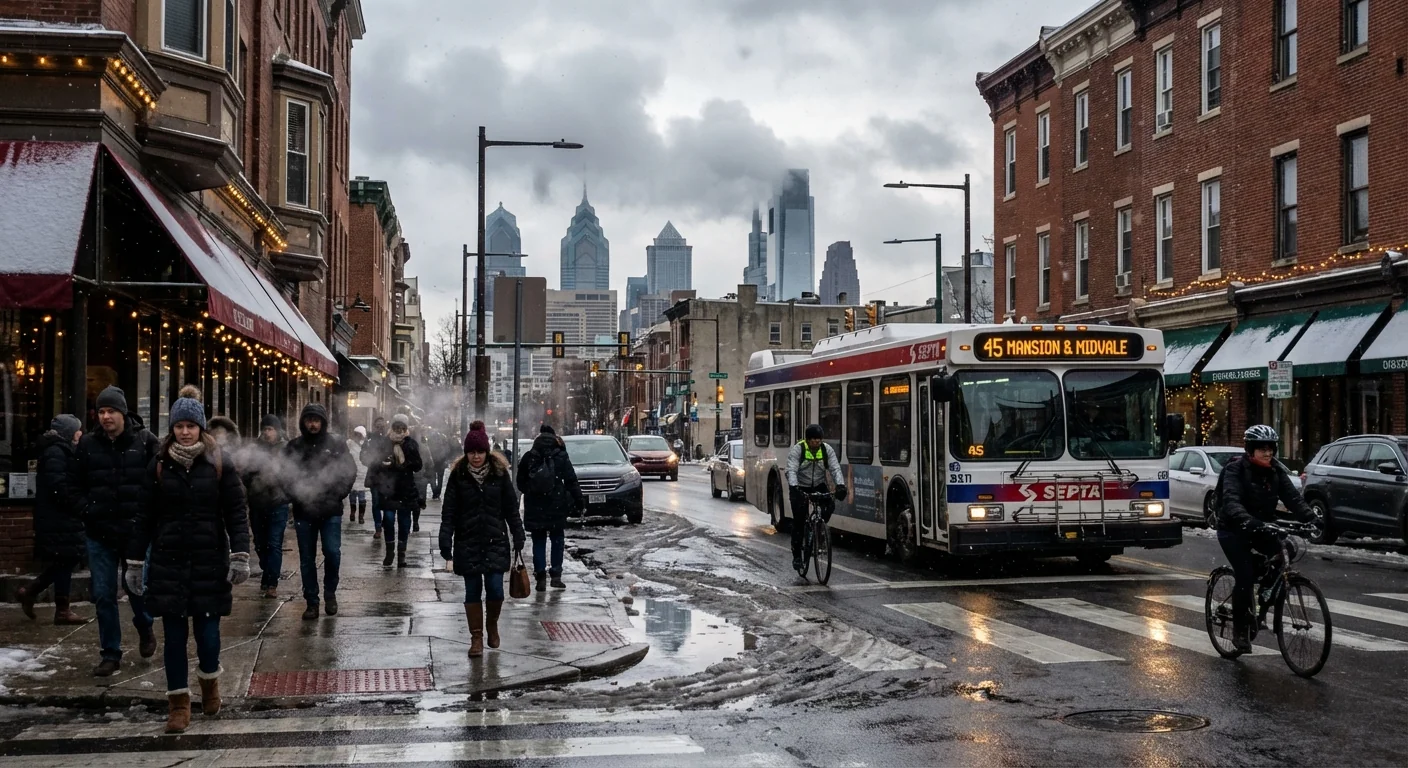
Expect a messy evening and overnight commute. City and suburban crews are pretreating, but the late change to snow can still surprise drivers. If you can shift errands earlier, do it. If you must travel tonight, keep it simple.
- Reduce speed and avoid hard braking on ramps and intersections.
- Clear your car fully, including roof and lights.
- Give plows and salt trucks plenty of room.
- Watch for pedestrians and cyclists near slushy curbs.
Why This Snow Matters Now
Philadelphia has been in a snow drought through early winter. Budgets and plow fleets have rested, which saves money, but it also creates a first test when the snow finally shows. Tonight is that test. Light totals can still have big impact when the timing is sharp and the ground is cooling at sunset.
The meteorology lines up. The polar vortex has loosened, which allows a pocket of colder air to dip south. A quick clipper taps that chill and squeezes out a short burst of powder. Expect some neighborhood gaps. Center City and the river wards may hold rain longer because of the urban heat island. Northwest Philly and higher suburbs cool faster, which favors earlier stickage and slightly higher totals.
A warming climate means winters here start milder more often. That does not cancel snow. Instead, it shifts it toward narrow windows when cold air and moisture finally meet. Tonight is one of those windows, brief but potent.
City Services, Sustainability, and You
Crews are staging brine and salt. The plan is to pretreat main routes, then plow and spot salt as the snow consolidates. After several easy winters, this event helps agencies check staffing, equipment, and bike lane coverage before any bigger storms later this season.
Salt keeps us safe, but overuse hurts rivers, pets, and plants. Choose smarter steps at home.
- Shovel early and often to limit salt needs.
- Use calcium magnesium acetate or sand near drains and gardens.
- Scatter, do not dump, one coffee cup of salt covers a driveway.
- Keep piles out of tree beds and away from storm grates.
Store a small bucket of sand by the door. It adds traction without the salt load, and it protects paws and soil.
The Bottom Line
Philadelphia is on track for a quick, first snow that lands right when travel is busiest. The totals are light, the timing is not. Plan ahead, slow down, and prep smart to cut salt use and protect our waterways. I will continue to monitor the changeover and update timing and totals as the band pushes through tonight. Stay safe, stay warm, and keep the shovel handy.


