High winds pound Omaha this morning
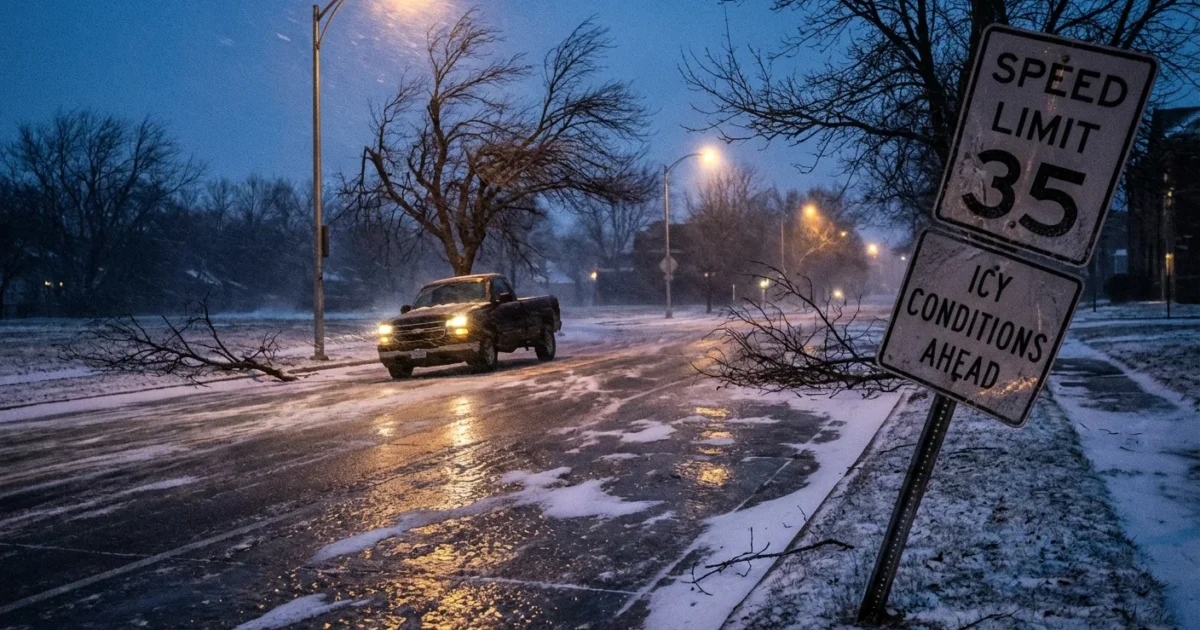
Breaking now. A High Wind Warning is in effect for Omaha and nearby counties until 8:00 AM CST. Northwest winds are blasting at 25 to 35 mph, with gusts up to 55 mph. Skies are cloudy and temperatures hover near 32°F, 0°C. The wind chill bites harder. Travel is hazardous, trees are flexing, and scattered power outages are possible.
I am tracking tree limbs snapping on exposed ridges and bridge decks rocking with crosswinds. High profile and lightly loaded vehicles face the greatest risk, especially on east west roads. As temperatures dip into the upper 20s this evening, any wet spots can flash freeze, which adds another layer of danger.
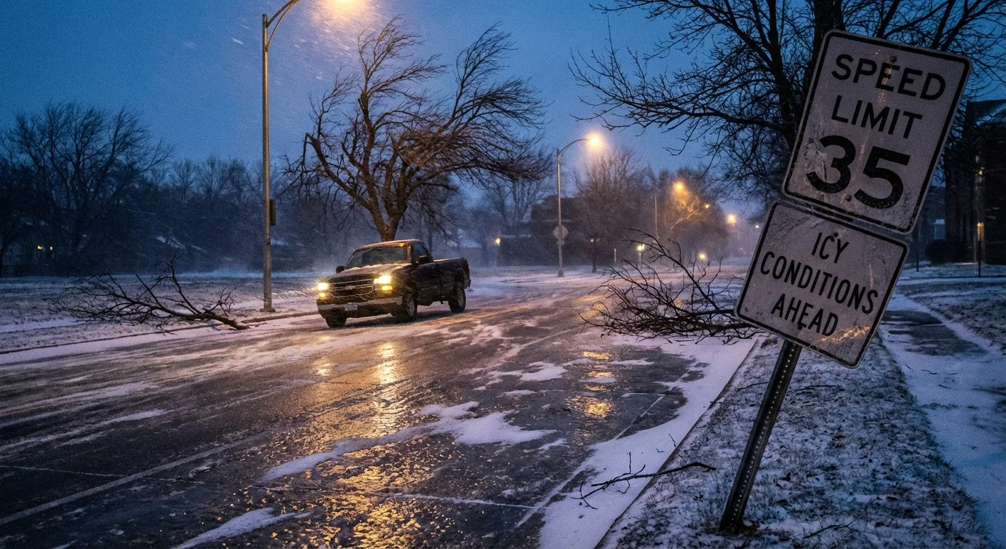
High Wind Warning through 8:00 AM CST. Treat any downed wire as live. Call your utility, do not touch it.
What I am seeing right now
The wind axis is locked from the northwest. Gusts peak as rotating pockets of stronger air mix down from a fast moving jet above. That mixing is strongest behind a sharp cold front. The sky stays mostly cloudy through the day, with brief breaks possible. Expect a noisy afternoon as loose signs, tarps, and holiday decorations shake. By late morning, gusts ease a notch, but it remains breezy through the day.
Strong winds strain aging infrastructure. Expect spotty outages where branches slap lines. Construction sites with unsecured materials are vulnerable. On the roads, bridge approaches and open fields are trouble spots. Keep both hands on the wheel. Trucks, vans, and trailers need extra room and slower speeds.
Why it is so windy today
A tight pressure gradient is driving this event. Warmer air to the south and a fresh pocket of Arctic air to the northwest create a steep change in pressure across Nebraska. The atmosphere responds with wind, which is nature’s way of trying to balance those differences. Omaha sits in the corridor where that push is strongest this morning.
Our region is no stranger to wind, yet the pattern is shifting. Warmer falls and stronger cold shots can increase these pressure contrasts. Scientists have documented jet stream swings that can deliver abrupt wind bursts in the Plains, especially in late fall and winter. One windy day does not prove a trend, but a string of events builds a clear signal that planners should respect.
Safety first, Omaha
If you do not have to travel early, wait for the gusts to settle. Keep pets and people away from trees that are leaning or shedding branches. Check your home for loose items. A stray lid or bin can become a projectile at 50 mph.
- Secure outdoor items, then stay away from windows during peak gusts.
- Delay trips with high profile or light vehicles, especially on bridges and open stretches.
- Charge phones and keep flashlights handy in case of outages.
- Never run generators indoors, and keep them 20 feet from openings.
- Check on neighbors who may need help, especially older adults.
Crosswinds are worst on east west roads. Reduce speed and leave extra space when passing trucks. 🌬️
Why some apps missed the warning
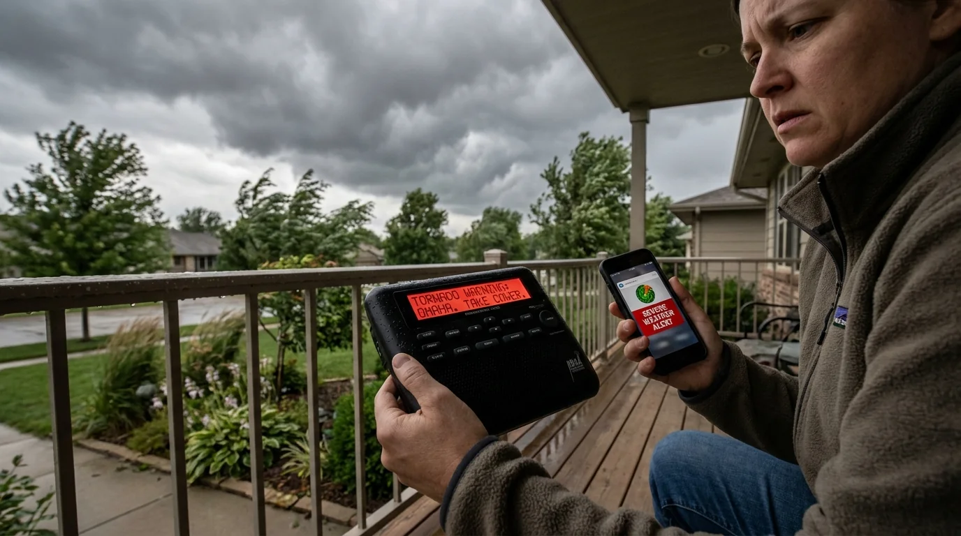
I am seeing confusion this morning as some widely used weather apps did not display the High Wind Warning. Here is why that happens. Alert polygons from the official system can update minute to minute. Some apps cache data and refresh on a slower cycle. Location settings can also be off by a few miles, which drops you outside the warning polygon. In rare cases, a feed outage delays an update.
When in doubt, go straight to official channels. Enable Wireless Emergency Alerts on your phone. Keep a NOAA Weather Radio with fresh batteries. Local emergency management and the National Weather Service remain the gold standard for urgent alerts. Trust the clearest, most direct source, not the prettiest interface.
Building resilience for the next wind event
Today’s blow is a stress test for our grid and neighborhoods. We can pass more of these tests with smart choices. Plant native trees with strong roots, and prune for wind clearance around lines. Upgrade roof fasteners and choose impact resistant shingles. Builders can use continuous sheathing and better door hardware to raise wind tolerance. Utilities can harden poles, bury select lines in key corridors, and expand microgrids. Home solar with battery storage can keep critical loads running when the grid trips. Energy efficiency matters too, since a tighter home stays safer and warmer when the lights go out.


