Breaking now: Central Ohio is snapping into winter mode. Franklin County and the City of Columbus have activated snow emergency levels as heavy bursts of snow sweep across the metro area and wind chills dive. Plows are rolling. Parking bans and travel limits are in effect in parts of the region. This storm is fast, cold, and disruptive, and officials are moving to keep roads open and people safe.
Snow emergency levels are active across Central Ohio
I am tracking fresh declarations coming in from counties and cities across Central Ohio as snow deepens and temperatures fall. The first wave pushed in overnight. A second wave will reinforce totals through tonight, locked in by Arctic air. That mix of steady accumulation and bitter wind is the trigger for today’s snow emergencies.
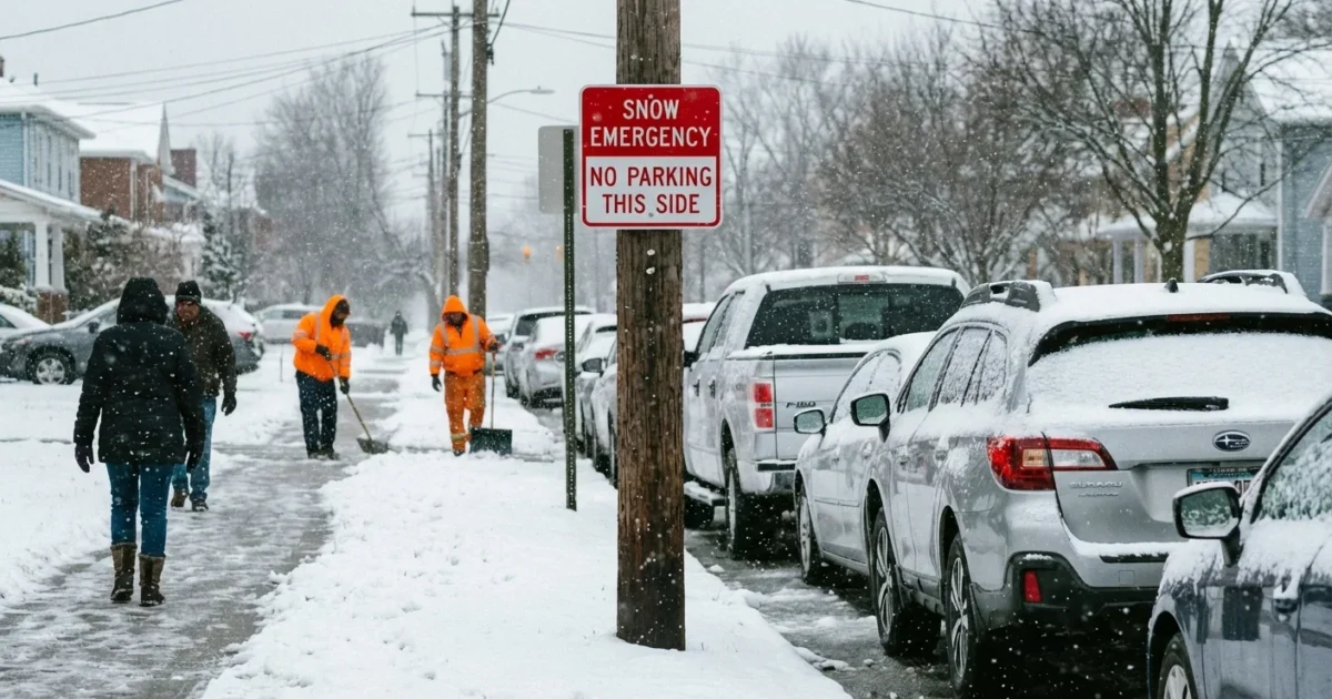
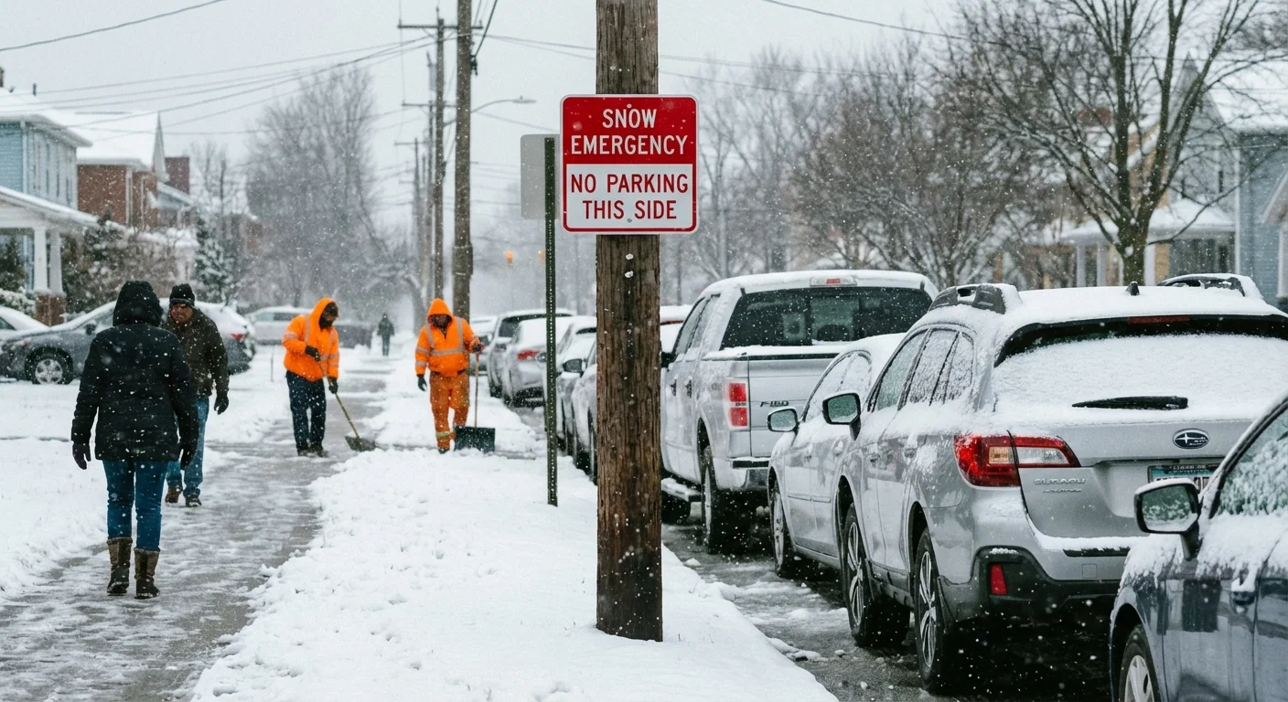
Most Ohio communities use a three step system. The names are the same, but the rules can vary a bit by city or county. The goal is simple, keep traffic light so crews can clear roads, and keep parked cars out of the way on posted routes. If you live along a signed snow route, move your vehicle now to avoid a tow and a fine.
Level 1, caution on the roads
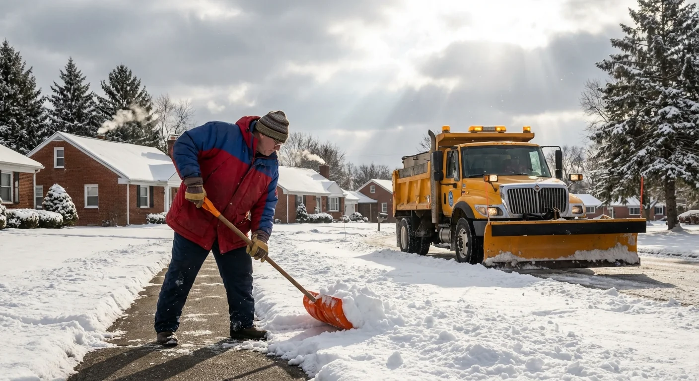
Roads are wet to snow covered, and visibility can change fast. You can drive, but use care and leave extra space. Some cities start limited parking rules on posted routes at this level. Salt crews will be out, but cold pavement slows melting.
Level 2, parking bans and limited trips
Parking bans are common on signed snow streets. Nonessential travel is discouraged. If you can work from home, do it. Plows need the space. Expect slower buses, slick ramps, and drifting in open areas. Plan for delays and watch for black ice under fresh powder.
Level 3, stay home unless it is an emergency
Most places restrict travel to emergency vehicles and critical workers. Violations can lead to citations and towing. This keeps intersections clear for fire, EMS, and snow crews. If a Level 3 goes up, treat it like a hard stop. Sheltering in place saves lives in brutal wind chills.
If your car is parked on a posted snow route during Level 2 or Level 3, it can be towed. Move it now to avoid fines and delays when streets are plowed curb to curb.
Why this storm is hitting hard
This is a classic Ohio winter one two punch. A sharp dip in the jet stream opened the door to Arctic air. At the same time, moist Gulf air fed the storm’s snow shield. That clash created steady bands, strong enough to outpace road salt during the coldest hours. Once the core of cold arrived, even treated roads refroze between passes.
Our warming climate adds a twist. A warmer atmosphere can hold more moisture, which can supercharge heavy snow when cold air is present. We also see bigger swings, from mild spells to sharp cold snaps, because the jet stream meanders more. Ohio sits under those bends often in winter. That means more days like this, with higher snowfall rates, lower visibility, and quick freeze overs.
There is a sustainability angle too. Heavy salt use harms streams and drinking water over time. Crews are leaning more on brine and smart salting to cut runoff. Residents can help by shoveling early and often so less salt is needed, and by avoiding extra driving that adds emissions and blocks plows.
What to do right now
Here is your quick plan for today and tonight. These steps protect you and speed the clean up for everyone:
- Move your car off signed snow routes and out of cul de sacs.
- Avoid nonessential trips. If you must drive, go slow and bring a winter kit.
- Keep sidewalks and hydrants clear. Clear downspouts so meltwater drains.
- Check official county or city alerts for your current level and updates.
- Conserve salt. Shovel first, then use a light spread, not a pile.
Pack a simple car kit. Gloves, hat, scraper, small shovel, sand or kitty litter, phone charger, water, and snacks. Keep the fuel tank at least half full to prevent fuel line freeze.


