Breaking: Heavy snow is slamming New York City right now, then a sharp flip to sleet will cut totals and raise ice risk. Streets are whitening fast. Visibility is dropping. This storm has real bite, then a quick switch that can fool you. Do not let early snowfall lull you. The most dangerous part may come after the pretty flakes. ❄️
What is happening right now
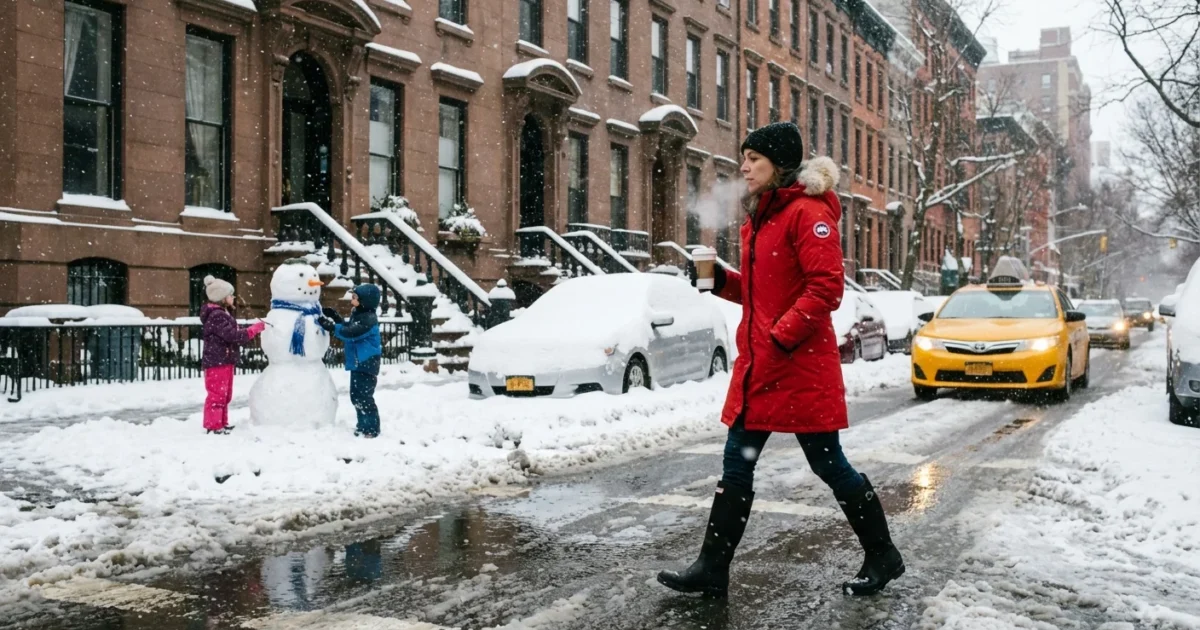
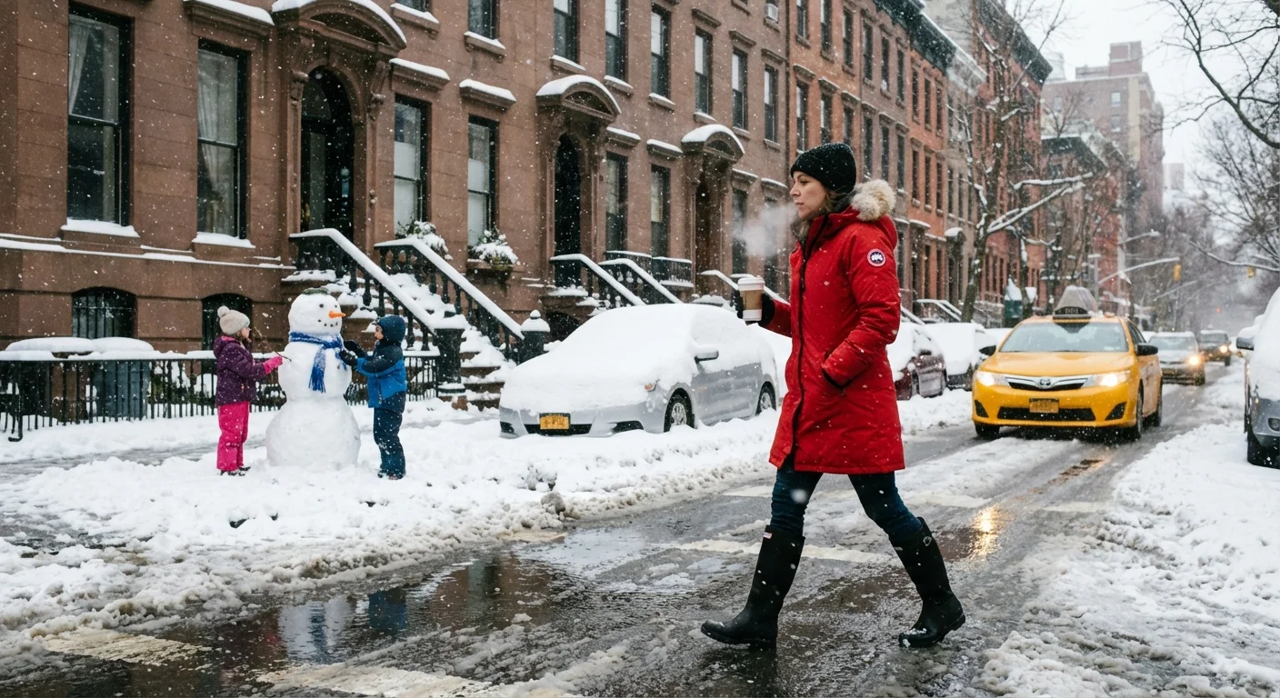
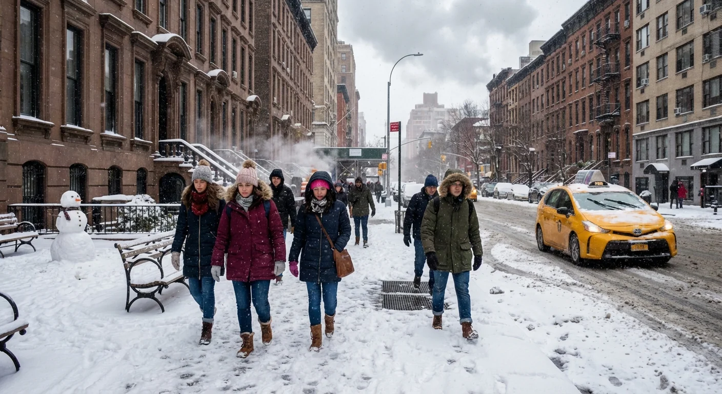
Snow bands are racing across the five boroughs and the Tri-State. Rates are intense in bursts, close to an inch per hour in some neighborhoods. Plows are out. Sidewalks that were clear ten minutes ago are now slick. Winds are gusty, enough to sway limbs already heavy with wet snow.
The changeover to sleet is the pivot. Warm air aloft is pushing in from the south, riding over cold air at the surface. That sets a classic winter trap for New York, snow first, pellets next, a sloppy mix last. The sleet line is drifting north through the city, then into the Lower Hudson Valley later.
Ice will form quickly on untreated roads, curbs, and metal steps once sleet arrives. Power lines and tree limbs are at risk as snow turns heavy and wet.
Timing and neighborhood impacts
Expect the flip to sleet first along the south shore of Brooklyn and Staten Island. Midtown and the Bronx will hold snow a bit longer, then join the mix. Northern Queens and the western Bronx change later still. North and west of the city, from Yonkers to Rockland and parts of Bergen County, snow hangs on longest, then turns to sleet by late day. Long Island is the opposite story, a quicker move to sleet and even a cold rain near the South Fork.
This sequence matters for your commute. Snow totals will look impressive in the first few hours. Then sleet compacts that fluff into a dense crust. That crust is hard to shovel and harder to drive on. If you have to travel, go early and go slow. Expect flight delays and some cancellations as crews deice planes and clear gates.
Why totals will vary
The city sits near the rain snow line in many storms. A small nudge in temperature aloft moves that line over your block. Tall buildings and the urban heat island also play a role. The ground holds more warmth in the core of Manhattan, which speeds the transition from snow to sleet. Farther north, higher ground stays colder, which protects snow longer.
The science behind the flip, and the climate signal
This is a classic overrunning event. A coastal low is pulling Atlantic moisture into cold surface air. A warm layer several thousand feet up melts snowflakes into raindrops. Those drops refreeze into sleet before hitting the ground. If the surface warms enough, that sleet becomes a cold rain. Today, the warm layer is strong but shallow. That is why sleet, not freezing rain, is the bigger threat for the city.
Winters in the Northeast are warming. Average temperatures are higher, and the season has more mild days. That shifts many storms toward mixed precipitation. We get fewer long snow events, and more short snow bursts followed by sleet or rain. Wet snow holds more water, which loads trees and lines and stresses an aging grid. The result, fewer blockbuster blizzards, more heavy slop that breaks things and floods drains. Climate change does not stop snow here, it changes the type of snow we get, and the risks that come with it.
How to move through the next 24 hours
I am tracking a messy evening and early overnight. Roads will see rapid changes block to block. Sleet will chew up the snowpack and create rutted lanes. Sidewalks will become lumpy and slick. Crews will rotate between plowing and salting as precipitation changes form.
- Clear snow early, then again after the sleet crust forms, to avoid back strain and ice.
- Give buses, plows, and bikes extra space. Everyone needs more room to stop.
- Keep storm drains clear to reduce street flooding during the changeover.
- Charge phones and small batteries in case of scattered outages.
Use salt or calcium sparingly. Over salting hurts street trees and runs into waterways. Sand or traction mix works well on sleet crusts.
Public transit will run, but expect slower headways and platform slickness. Alternate side rules and school operations may shift through the day. Check alerts before you leave. If you can delay trips until crews reset the roads after the sleet, do it.
Cleanup, power, and what comes next
The snow you shovel this afternoon will feel heavy. Lift with your legs, not your back. Pile snow away from crosswalks and corners to protect visibility. Keep hydrants clear. If limbs sag near wires, report them and stay clear. Utilities are staging in zones with more trees and older lines, especially north and west of the city.
Storm runoff is another risk. Sleet and rain will compact and melt the fresh snow. That sends slush into basements with low gratings and onto corners with clogged drains. Coastal neighborhoods should watch for minor ponding, not major surge, as winds pivot and ease.
The fast snow to sleet transition reduces totals, but it raises risk. Ice on top of a thin snowpack is more dangerous than deep powder.
The bottom line
This is a quick hitter with two faces. Fast snow first, then a sleet grind that complicates everything. Plan for a tougher trip home than your trip out. Clear what you can, move with care, and let crews work the mix. New York knows winter, but mixed winter takes more patience. I will keep watching the changeover and updating the neighborhoods that hold snow longest. Stay safe, stay warm, and give the storm room to finish.


