BREAKING NOW: A fast forming winter storm is set to hit New York City and the Tri‑State tonight, with heavy snow, a wintry mix, and gusty wind moving in fast. I am confirming winter storm warnings for the city and surrounding suburbs from Friday night into Saturday morning. Travel will turn hazardous, and power outages are possible in areas that ice over. This will be the most disruptive snow event for many in years ❄️.
What to expect and when
Snow reaches the city and much of New Jersey this evening, then spreads north and east. It intensifies after midnight. The harshest conditions will unfold overnight into early Saturday, when snowfall rates could outpace plows on key roads. Expect a sharp rain snow line near the coast, with sleet and freezing rain mixing in for parts of Long Island and central New Jersey. North and west of the city, colder air holds, which favors heavier snow.
By mid to late Saturday morning, the storm pulls away. Roads will remain slick well into the afternoon, especially where temps stay near freezing and where slush refreezes. Upstate, colder valleys and higher terrain will see the longest duration snow, with plowable totals and pockets of damaging ice.
Overnight is the danger window. If you can, stay off the roads from midnight to 9 a.m. Saturday.
Why this storm is packing a punch
A deep dip in the jet stream is pulling cold air into the Northeast. At the same time, a coastal low is feeding on very mild Atlantic waters that are running warmer than average. Warm seas add moisture. More moisture means more intense snowfall where the air is cold enough. That is the setup tonight.
This is a classic coastal winter system, often called a nor’easter when wind locks in from the northeast. The exact track of the low will decide who gets heavy snow and who sees ice. A jog of even 30 to 50 miles can shift the mix line across entire counties. That is why forecasts have trended higher for parts of Upstate New York and inland suburbs.
Expected impacts
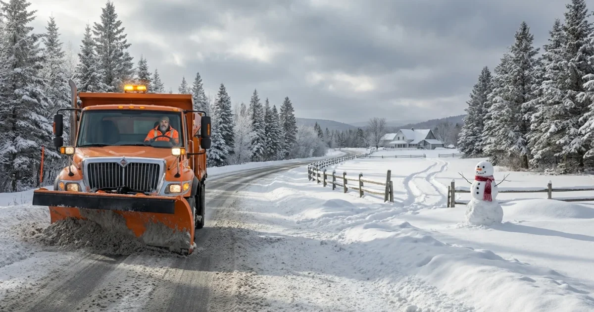
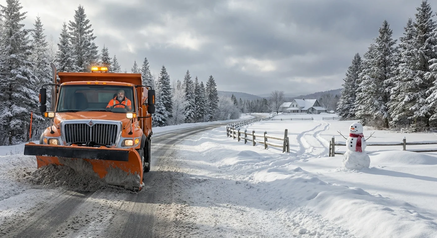
Plan for a fast slide from wet to wintry this evening. Slick bridges and ramps will ice first. City streets may slush, then glaze before plows catch up. North and west suburbs have the highest chance of heavy, steady snow.
- Hazardous travel, with low visibility and quick snow cover on untreated roads
- Scattered power outages where ice forms on lines and trees
- Flight delays and cancellations, especially early Saturday
- Coastal gusts that push minor splashover at high tide in exposed spots
Upstate communities could see heavier totals and thicker glaze, which raises the risk for downed limbs and longer outages. Urban flooding risk is low, but clogged street drains could back up where rain mixes in, then freezes.
Shovel in shifts. Light, frequent clearing is safer than tackling heavy, wet cement at once.
How to prepare tonight
You still have time before the worst arrives. Focus on heat, power, and safe travel choices.
- Charge phones, battery packs, and medical devices
- Clear storm drains and salt steps, then park off narrow streets if possible
- Use transit for essential trips, and expect reduced service early Saturday
- Keep a warm layer kit by the door, hat, gloves, scarf, dry socks
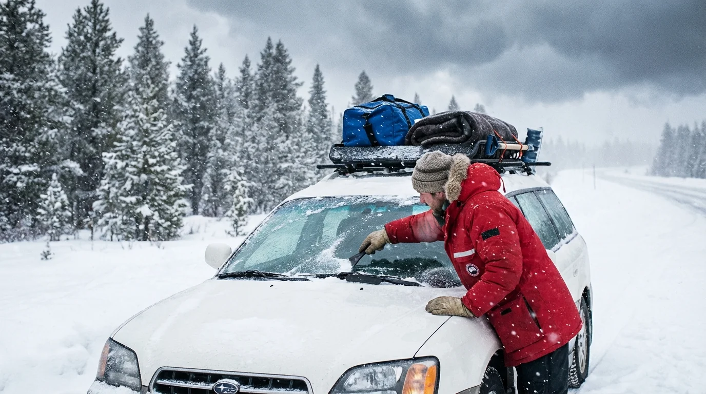
If you must drive, slow down, increase distance, and carry a winter kit with scraper, blanket, water, and a small shovel. For those using space heaters, keep them three feet from anything that burns, and never use an oven for heat.
Clear sidewalks and fire hydrants. Safe access helps neighbors and speeds emergency response.
The climate signal
Winters in the Northeast are warming, yet heavy snow can still strike when cold air and ocean fueled moisture meet. A warmer Atlantic loads storms with more water vapor. That can turn into heavy snow if surface air stays below freezing, or ice when it hovers near 32 degrees. This pattern shortens the snow season, but makes extreme bursts more likely during brief cold snaps.
There is a sustainability angle to cleanup too. Salt helps, but overuse harms rivers and drinking water. Mix salt with sand, apply early and lightly, then reapply only where refreeze occurs. Choose calcium magnesium acetate or brine solutions where available to cut runoff. Keep storm drains clear to reduce icy ponding and protect aquatic life.
What I am watching next
I am tracking the exact track and the rain snow line hour by hour. The heaviest snow band could pivot over the city just before dawn. That would stress plowing and slow flights and trains through mid morning. If icing trends north, outages could climb in interior New Jersey, the Lower Hudson Valley, and the Mohawk Valley.
Stay tuned to official alerts from the National Weather Service, your local office of emergency management, transit agencies, and utilities. I will push updates as the snow shield advances and the mix line shifts.
Bundle up, move early, and give crews room to work. The window is tight, the impact is real, and the safest place overnight is home.


