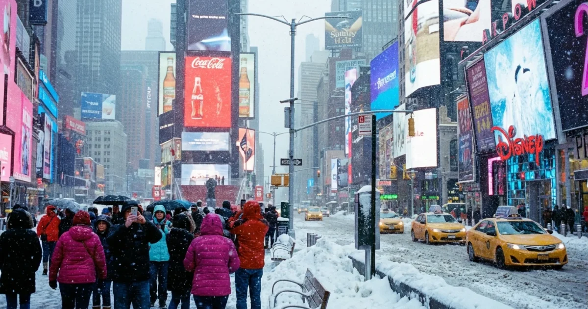
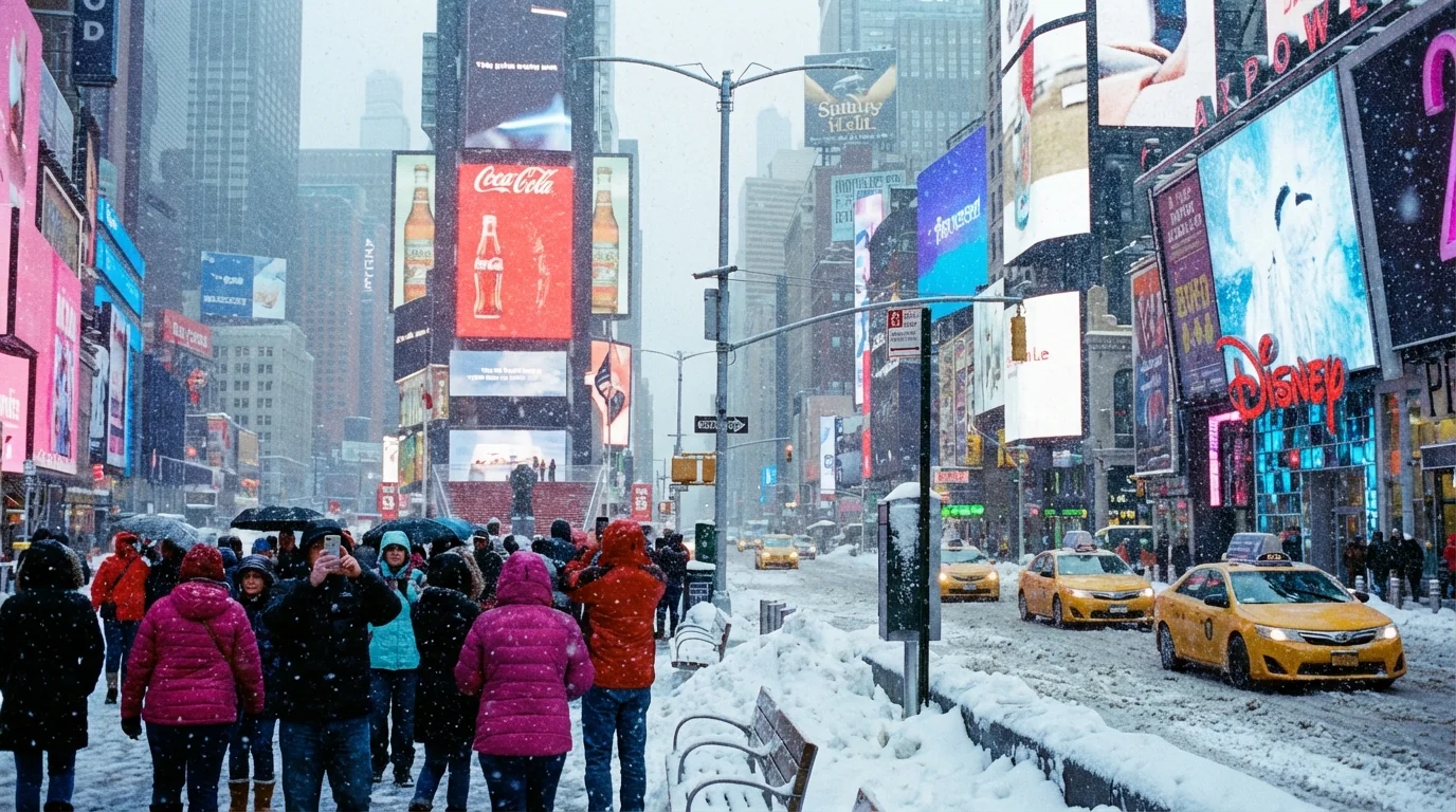
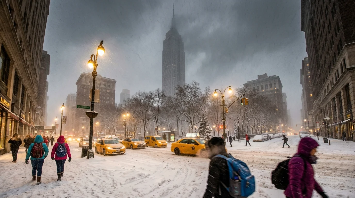
Breaking: A dangerous winter storm is taking aim at New York City. I am tracking a fast strengthening system that will sweep across the Northeast from Sunday into Tuesday. It will pull Atlantic moisture into cold air over the city. That mix can produce heavy, wind driven snow and treacherous travel. Expect a disruptive start to the week.
What is coming, and when
First flakes are likely Sunday afternoon or evening. Snow intensity will build overnight. The heaviest burst looks set for late Sunday night into Monday morning. Commuters should plan for very slow travel, if travel is needed at all. Periods of snow and blowing snow can linger into Monday evening. A final round of lighter snow or flurries may hang on into Tuesday, mainly early.
I expect plowable snow in all five boroughs. Six to twelve inches is possible across the city, with higher totals north and west. Exact amounts will depend on the storm track and banding. A slight jog toward the coast would bring heavier snow. A track a bit farther offshore would lower totals, but still snarl travel. Winds will gust 25 to 35 miles per hour in the city, higher near the shoreline. That will reduce visibility and push snow into drifts.
Heavy snow and wind will create dangerous travel. Whiteouts are possible in the heaviest bands. Avoid unnecessary driving.
Why this storm could be intense
This setup is classic for big Northeast snow. A strong dip in the jet stream is diving south over the Ohio Valley. At the same time, a coastal low is forming near the Mid Atlantic. The storm will tap warm ocean water just offshore. Warmer water means more evaporation, more moisture, and stronger snowfall rates when it meets cold air.
Winters are warming, yet they are also growing more variable. That means longer quiet stretches, but sharper swings when cold and storm energy line up. We are seeing that now. A moisture rich atmosphere is pairing with a brief, well timed shot of cold. The result can be short, intense bursts of snow. In simple terms, there is more water in the air in a warmer climate. When it snows, it can dump.
What this means for NYC life
Plan for widespread delays. Streets will become snow covered and slick. Visibility will be poor during the peak. Plows will struggle to keep up if bands stall over the city. Buses have the hardest time in these conditions. Bridges may see speed restrictions. Subways mostly run, but outdoor sections can face slow orders. Commuter rails can see schedule cuts. Expect airport delays and cancellations, especially Monday.
If temperatures hover near freezing, the snow could be heavy and wet. That raises the risk of downed branches and scattered power outages. If the air stays a bit colder, the snow will be lighter and fluffier. That blows around more, which lowers visibility, but it is easier on trees and lines. Coastal flooding looks minor at this time, but tides will need monitoring in low lying areas.
City services will adjust. Sanitation will shift to full snow operations. Schools and offices may announce changes. Check for updates before you head out. Keep storm drains clear to reduce ponding during the melt.
Clear street drains and hydrants before the snow. This helps first responders and reduces flooding when temperatures rise.
How to prepare, the smart and sustainable way
You still have time. Focus on safety, then comfort, then waste reduction. Use what you have first. Shop only for gaps.
- Charge phones, backup batteries, and medical devices. Refill needed prescriptions.
- Stock simple foods that do not require long cooking. Fill water bottles and pet supplies.
- Check flashlights, not candles. Test carbon monoxide detectors.
- Salt or brine steps and sidewalks lightly. Avoid over salting near trees and storm drains.
- If you must travel, plan transit routes, expect long waits, and dress in layers.
Shovel early and often to avoid heavy lifts. Take breaks. Push snow to the curb edge, not into bike lanes or crosswalks. If you can, skip a car trip and use transit. That cuts crashes, emissions, and gridlock. Turn thermostats down one or two degrees during peak hours. It eases strain on the grid during the storm.
Never run generators or grills indoors. Keep exterior vents clear of snow. Carbon monoxide is silent and deadly.
Where to get reliable updates
Bookmark official channels now. Check the National Weather Service New York office for watches, warnings, and timing. Follow NYC Emergency Management for citywide alerts. For travel, use MTA, Metro North, LIRR, PATH, and NJ Transit apps. For airports, check Port Authority advisories and your airline. Rely on push alerts during the morning rush Monday.
Conclusion
This storm will be short, sharp, and high impact. The city can handle snow, but timing around the commute raises risk. Prep tonight, travel only if needed, and look out for neighbors. I will continue to monitor radar, snowfall rates, and wind shifts, and I will update as the storm evolves. Stay safe, stay warm, and give the plows room to work.


