Snow is coming. A powerful winter storm is targeting the New York City region this weekend. Confidence is rising for a high impact event. The question on every mind is simple. How many inches of snow will we see? Here is my latest, with clear ranges, and why they could move.
How many inches and where
My forecast calls for a broad 6 to 12 inch zone across much of the Tri-State. Local totals could top 10 inches where the heaviest bands sit. That includes parts of New York City, northeastern New Jersey, the Lower Hudson Valley, and southwest Connecticut. If a narrow band stalls over the city, some neighborhoods could push past a foot. If that band sets up east or west, the jackpot shifts with it.
Coastal areas face more mixing risk. Long Island and the Jersey Shore run cooler at first, then flirt with ocean warmth. Expect a sharp gradient. Some South Shore towns may see 3 to 6 inches, while spots just inland pile up 6 to 10 inches. North and west of the city, colder air locks in, supporting 8 to 14 inches in the higher terrain.
Totals will depend on two things. The precise storm track, and where intense snow bands park overnight. Small wiggles in the low pressure path can move the heavy stripe by 20 to 40 miles. That is the difference between a shovel and a snowblower.
Snow totals can shift within 24 to 36 hours. Ranges are more reliable than single numbers, especially near the coast.
Why 10 plus inches is possible
This setup is classic. A coastal low will form near the Mid Atlantic baroclinic zone, where cold land air meets warmer ocean air. The jet stream will guide it northeast, then tilt it, which helps the storm deepen. As the storm strengthens, it pulls in Atlantic moisture. The air overhead cools as the system intensifies. That is the recipe for heavy, sticky snow.
The atmosphere also favors banding. Think of long, narrow highways of rising air. Snow in those bands can fall at 1 to 2 inches per hour. If you sit under one for a few hours, totals jump fast. If the core lifts north or stays offshore, your totals drop. That is the heart of our uncertainty today.
There is one more twist. The city’s urban heat island can delay road stickage early on. Pavements may slush before they freeze. Once rates pick up overnight, even treated roads can turn snow covered.
Timing and travel impacts
Snow looks to begin Saturday afternoon for New Jersey and the city. It spreads north and east by evening. The peak window appears Saturday night through early Sunday. That is when the heaviest bands are most likely. Snow tapers from southwest to northeast Sunday morning into midday. A six hour shift either way is still possible.
Travel will be tough during the peak. Visibility can drop under a quarter mile in the bands. Plows will struggle to keep up for a time. Power outages are possible where snow clings to trees and lines, especially if winds gust along the coast.
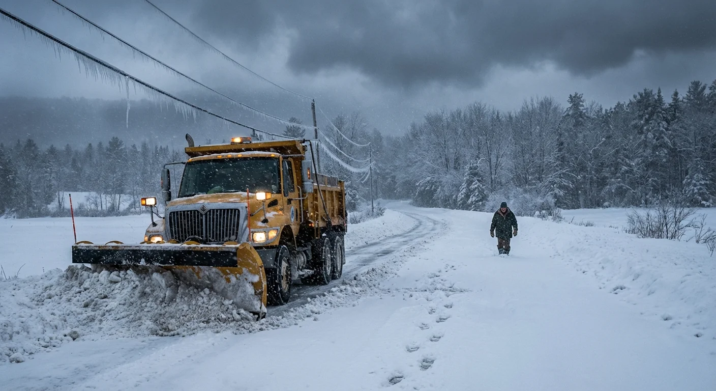
Plan for hazardous travel Saturday night into early Sunday. Delay nonessential trips. If you must drive, go slow, keep distance, and pack a winter kit.
The climate signal and a sustainability playbook
Yes, heavy snow can still happen in a warming climate. Here is why. Warmer oceans load storms with more moisture. When cold air is in place, that extra moisture falls as very heavy snow. At the same time, long term warming reduces the number of cold days. So we may see fewer snowstorms over time, but the biggest ones can be very wet and intense.
Sea surface temperatures off the Mid Atlantic are running warmer than historical averages in many winters. That boosts evaporation. It feeds coastal lows with water vapor that later becomes flakes. It is a paradox many feel on their steps while shoveling.
We also need to clear our streets without harming our rivers. You can help with smart choices.
- Use calcium magnesium acetate or sand in place of rock salt where you can
- Shovel early and often, so you use less deicer
- Keep storm drains clear to prevent street flooding after the melt
- Choose mass transit over solo driving when roads improve
- Check on neighbors who may need help
Lay down a light brine before the first flakes. It reduces ice bond and cuts salt use later. 🚇
Stay ready
Here is what to do now. Charge devices. Top off medications and essentials. Move cars off snow routes. Set a plan with family in case power blips. If you have to travel, shift it earlier Saturday or later Sunday. Keep tuned to the National Weather Service and your local alerts. I will refine the snow ranges as new data arrives and the storm locks in.
Snow is back, and it means business. Prepare with care, think green where you can, and stay safe through the peak. I will update the minute the bands set up. ❄️


