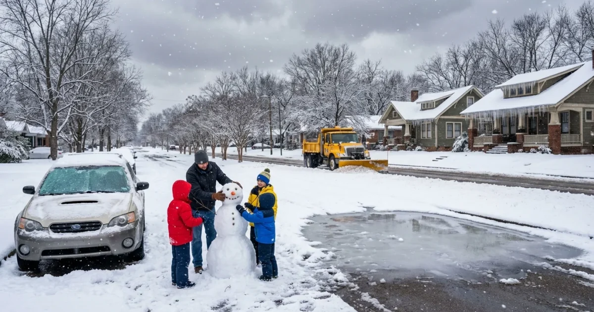
Breaking: A winter storm is lining up for the Mid-South this weekend, and Memphis sits near the pivot point. I am tracking a cold, dense air mass moving in from the north, and a Gulf moisture surge lifting in from the southwest. That is the classic recipe for snow and sleet in our region. Small track shifts could flip the script for neighborhoods only a few miles apart. Here is the latest, and what it means for your block.
What is setting this up
Cold air is already in place near the surface. Above that, a warm layer noses in ahead of the storm. When snowflakes fall into that warm layer, they can partially melt, then refreeze as sleet near the ground. If the warm layer gets deeper, it can tip some areas into freezing rain. If the warm layer retreats, it is all snow.
The storm’s path appears just south of the metro, which favors a wintry mix for Memphis. Areas north and east, closer to the coldest air, lean more snow. Areas south, closer to the warm push, lean more sleet, with a low chance of brief freezing rain. Confidence on cold ground temps is high. Confidence on exact mix bands is lower, and will improve inside 24 to 48 hours.
Hazardous travel is possible Saturday night through Sunday morning. Plan for slick roads, low visibility, and sudden icing on bridges.
Timing and neighborhood impact
First flakes or pellets may arrive Saturday afternoon, then conditions worsen after sunset. The most impactful window looks Saturday night into early Sunday. Roads could slick up fast after dark.
Downtown and Midtown
Snow may start mixed with sleet, then lean sleet for a time, before changing back to snow toward daybreak if the warm layer weakens. Quick accumulations are possible on elevated roads. Visibility will drop in heavier bursts.
East Memphis and Germantown
This zone sits near a likely sleet axis. Expect more sleet than snow at times. If the cold air deepens late, a layer of snow could cap the sleet. Travel will be tricky, especially on untreated side streets.
North Shelby and Tipton County
Colder profile, better shot at mostly snow. Banding could produce sharp differences over short distances. A heavier snow burst could set up near Millington and points north.
DeSoto County and the Mississippi state line
More mixing is likely here. Sleet dominates at times, with a brief window of freezing rain possible if surface temps hover near 30 degrees. Be alert for glaze on trees and power lines in any freezing rain pockets.
For quick planning, aim around these windows:
- Start, Saturday afternoon
- Peak, Saturday night to pre-dawn Sunday
- Taper, Sunday morning into midday
- Refreeze risk, Sunday night if skies clear
Confidence and wildcards
High confidence, ground temperatures support icing on roads. Medium confidence, placement of the sleet and snow bands. Lower confidence, any freezing rain. A small 25 to 50 mile track shift will change who sees the heavier burst. That is why you should check updated alerts from the National Weather Service office in Memphis as the system approaches.
I am watching for mesoscale bands, narrow stripes of intense precipitation. These can boost totals, then fade just a few miles away. If one sets up over the river and drifts east, downtown could jump in accumulations fast.
Safety first, and do it sustainably
Treat this like a high impact travel event. If you can shift trips to Saturday morning or Sunday afternoon, do it. Less time on the road means fewer crashes and less idling, which cuts emissions when air quality is already stressed by cold inversions.
- Top off washer fluid, check tire tread, and keep your gas or charge above half.
- Charge phones and backup batteries, and gather flashlights.
- Insulate outdoor faucets, and open cabinets for indoor pipes on exterior walls.
- Use layers and blankets, not space heaters running nonstop.
Shovel sleet and snow in light passes before it compacts. A little traction grit, like sand or bird seed, goes a long way without spreading salt everywhere.
Avoid generators indoors. If you must use one outside, point the exhaust away from doors and windows. Check on neighbors who rely on medical devices. Short, shared rides for essential trips cut traffic and help everyone move safer.
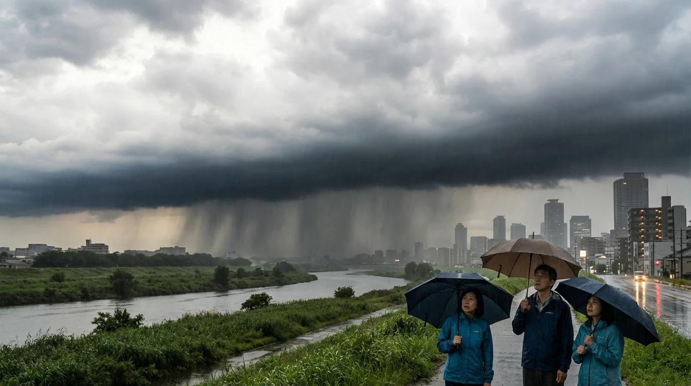
The bigger climate picture
A single storm is not the climate story. But it fits a broader pattern in a warming world. The Gulf is warmer on average, which adds moisture to winter systems. That can supercharge precipitation when cold air is in place. At the same time, the jet stream is swinging more wildly, which can deliver sharp cold snaps into the Mid-South. The result is fewer cold days overall, but a better chance that the days that do turn cold can come with heavier bursts of wintry weather.
What I am watching next
Through tonight and tomorrow, I will refine the mix line and the heaviest window. If the warm layer weakens sooner, more of Memphis will see snow. If it holds longer, sleet will win for much of the metro. Either way, plan for slick roads Saturday night, and a slow start Sunday.
Keep your plan simple. Stay flexible, check updates, and travel only if you must. Memphis knows winter can flip the field in an hour. This weekend will likely try. ❄️


