North Carolina is getting hit now. Heavy snow and a dangerous glaze of ice are racing across the state. I am tracking fast drops in visibility, quick road freeze ups, and rising outage risk. Travel is turning treacherous by the minute. If you can stay home, do it.
Storm snapshot, right now
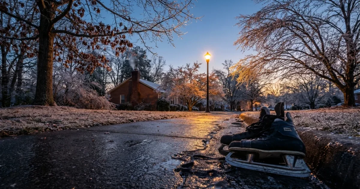
Snow is stacking up in the mountains and foothills. Bursts are intense enough to cover roads between traffic lights. Across the Piedmont, a narrow band of sleet and freezing rain is chewing through warm layers aloft. That is the recipe for ice on trees and power lines. Closer to the Coastal Plain, colder air is sliding in late, so timing will decide whether you see snow or a slick mix.
Winds are gusty and raw. That means drifting in open spots and quick wind chills. It also means limbs that were fine this morning are bending tonight. I am seeing ice starting to sheath elevated surfaces, then spread down into sidewalks and secondary roads. Expect a quick flip from wet to icy after sunset. Black ice will be the stealth hazard.
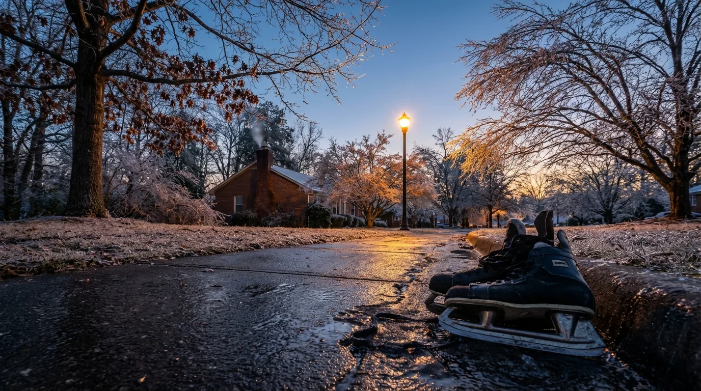
If a road looks wet, assume it is ice. Packed snow and thin glaze behave the same at speed. Slow down, increase space, and avoid sudden moves.
Hazards through tonight
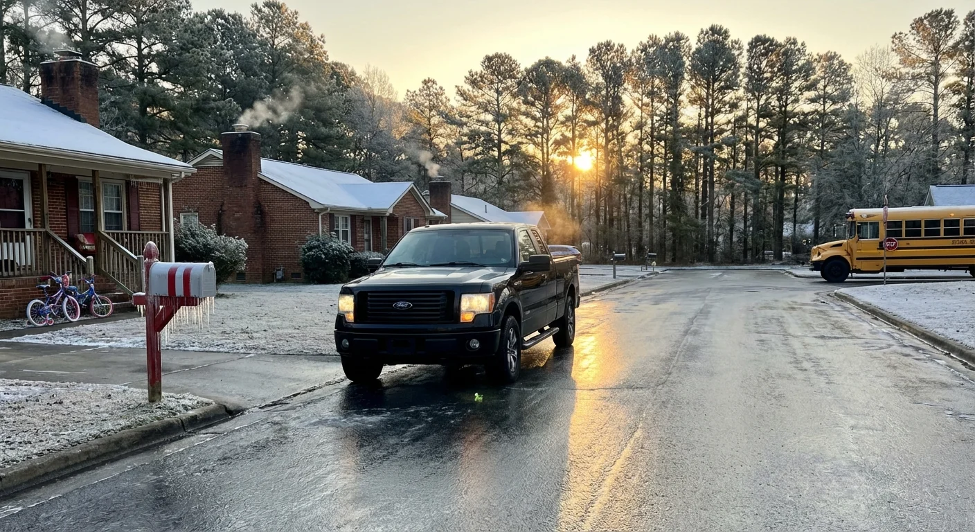
Road conditions will worsen first on bridges, ramps, and shaded stretches. Salt works, but not instantly. Plows cannot keep up when rates surge. One heavy burst can erase their progress in minutes. Expect some blocked lanes where spun out cars stack up. Give crews room. They need it to clear paths for ambulances and fire.
Power outages are likely where freezing rain persists. A quarter inch of ice is enough to start snapping small limbs. Add wind and the grid gets stressed. Rural lines are most exposed, but city feeders can also fail if tree canopies load up. Have flashlights ready and keep devices charged. If you hear trees cracking, move away from windows.
I see the risk for a second wave overnight. As the storm pulls away, colder air deepens. Wet surfaces will refreeze. Even places that saw rain can wake up to a skating rink at dawn. Morning commute plans should change now. Many schools and offices will pivot to remote options to protect people and roads.
Where to get live, trusted updates
I am watching official feeds and ground truth in real time. You should too. Bookmark your local sources now, so you are not searching in an outage.
- National Weather Service offices for Raleigh, Greenville Spartanburg, Blacksburg, Wilmington, and Morehead City for warnings, radar, and forecasts
- NCDOT’s DriveNC maps for road closures, crashes, and plow progress
- County emergency management pages for curfews, shelter openings, and boil water notices
- Utility outage maps from your provider, including co ops, to track restoration estimates
Enable Wireless Emergency Alerts on your phone. Keep a battery pack handy. A weather radio with backup power is a smart second line.
What to do if you must travel
If you are essential staff and must go, plan like a mountaineer. Clear all windows, not just a peephole. Carry warm layers, water, and a small shovel. Tell someone your route. Stick to main roads. If you skid, ease off the pedals, look where you want to go, and steer gently.
Why this storm is hitting like this
This is a classic Carolinas setup. Cold air dammed up against the Blue Ridge, shallow but stubborn. Above that, a surge of warm, wet air rides north from the Gulf and the Atlantic. The clash builds heavy precipitation. If the surface hovers near freezing, you get ice. If it dips a bit colder, you get heavy, sticky snow.
A warming climate is tipping more winter events toward mixed precipitation in our region. Ocean waters off the Southeast are running warmer in recent years. That loads storms with extra moisture. When shallow cold air is present, that moisture can freeze on contact, which boosts ice risk. At the same time, when storms turn to all snow, they can dump fast because there is more water in the air. Expect bigger swings, sharper transitions, and more days that feel like two seasons in twenty miles.
Storm smart, and sustainable
This is about tonight, but also about the next storm. We can harden our grid with smarter tree trimming, insulated lines, and targeted undergrounding in the worst corridors. Neighborhood microgrids with solar and batteries keep critical sites powered when lines fail. Home weatherization matters too. Tight doors, attic insulation, and service on heat pumps reduce strain when the grid is wobbling.
Road salt helps, but it harms streams and soils. Brine used ahead of time, applied with calibrated gear, cuts waste and protects water. Cities can build more rain gardens and curbside basins. These soak up meltwater and reduce flood spikes when a snowpack releases all at once. Small choices scale up when millions take them.
Check on neighbors, especially seniors and those without steady heat. Share a charge, share a ride only when roads are safe, and share good information, not rumors.
The bottom line
The next twelve hours are critical. Stay off the roads if you can. Keep heat in, keep batteries charged, and keep an eye on tree limbs near your home. I will keep watching radar, road sensors, and outage maps, and I will update as the storm evolves. North Carolina knows winter’s curveballs. Tonight, we meet them with patience, care, and smart choices. Stay safe out there. ❄️


