Western Washington is getting hammered by a powerful atmospheric river today, and Whatcom County is taking the hit. The Nooksack River and its forks are rising fast. Water is already over roads, pushing into low fields and neighborhoods. I am tracking gauges and ground reports this hour, and the picture is clear. This is a dangerous flood.
What’s happening right now
Relentless rain has stacked up several inches in a short window. Soils are saturated, streams are roaring, and the Nooksack is swelling into communities that know this threat all too well. The river at Ferndale is forecast to crest near 21 feet this afternoon, which signals moderate flooding with real impacts for roads and homes in low areas. The South Fork near Acme peaked overnight in the moderate stage, sending high water into farmland and along vulnerable bends.
At Saxon Road, once levels push past 8.5 feet, fields and side roads take on water, and Highway 9 north of Acme can become impassable. Up near north Cedarville, a reading around 148.0 feet means more widespread flooding for downstream reaches that feed toward Lynden.
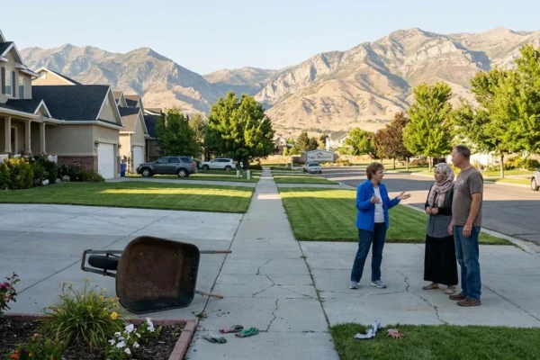
Local leaders are acting with speed. Whatcom County has declared an emergency. The state has also declared an emergency. Three hundred National Guard members are mobilized to help with high water rescues, traffic control, and logistics. Sumas, Everson, and the City of Nooksack have issued voluntary evacuation advisories. If you live near known flood zones, pack up now and be ready to go.
Road closures are mounting. Hannegan Road is closed near Lynden where water has crossed the pavement. Northbound I‑5 ramps at Iowa Street in Bellingham are blocked by pooling water. Schools across the county made schedule changes, including an early closure at Acme Elementary. Expect more closures as the crest moves downstream.
[IMAGE_1]
Never drive through flood water. Turn around, do not risk it. Just two feet of moving water can sweep away a vehicle.
Why this storm is different
This atmospheric river is a long plume of warm, moisture rich air from the subtropics. Warm air holds more water, and that moisture is dumping out over the Cascades and the lowlands today. Freezing levels are high, which shifts the snow line up the slopes and turns what would be snow into heavy rain. That boosts runoff. When soils are already soaked, rivers rise faster and stay high longer.
Climate science has warned that stronger atmospheric rivers are becoming more likely in a warming world. Studies show these events can grow wetter and last longer as oceans and the atmosphere store more heat. We are seeing those fingerprints now, with repeated heavy rain episodes and higher base flows setting the stage for big crests. Whatcom County remembers the deep floods of 2021. Today’s setup looks similar in important ways, with a broad, warm plume and long duration rain.
Community response and how to prepare
Shelters are open in Everson, Ferndale, and Bellingham. Sandbags are available in community stockpiles, including at the Sumas City Shop until 7 pm, while supplies last. Crews are patrolling levees and high risk crossings. Emergency managers are urging residents to sign up for alerts and to check river forecasts every few hours.
If you live near the river or a known flood path, take these steps now:
- Pack a go bag with medicines, water, snacks, documents, warm clothes, and chargers
- Move vehicles, tools, and fuel cans to higher ground
- Tie down fuel tanks and secure propane bottles
- Keep pets crated and ready to travel
[IMAGE_2]
Know your travel window. Leave before roads close. Tell a friend where you are going, and stick to main routes.
The path forward
This is not just about one storm. Whatcom County sits at the meeting point of a flashy river system, a changing climate, and growing communities in floodplains. Resilience will mean more room for the Nooksack to spread during storms, not more walls that push water farther and faster. Levee setbacks, floodplain reconnection, and restored side channels can lower peaks and protect towns. Raising homes and roads, replacing undersized culverts, and expanding early warning networks will save lives and money. Cross border coordination also matters, since water does not stop at the line and Sumas Prairie is part of this shared basin.
We will face more atmospheric rivers in the years ahead. The choice is clear. Build smarter now, or pay more each time the river finds its old path.


