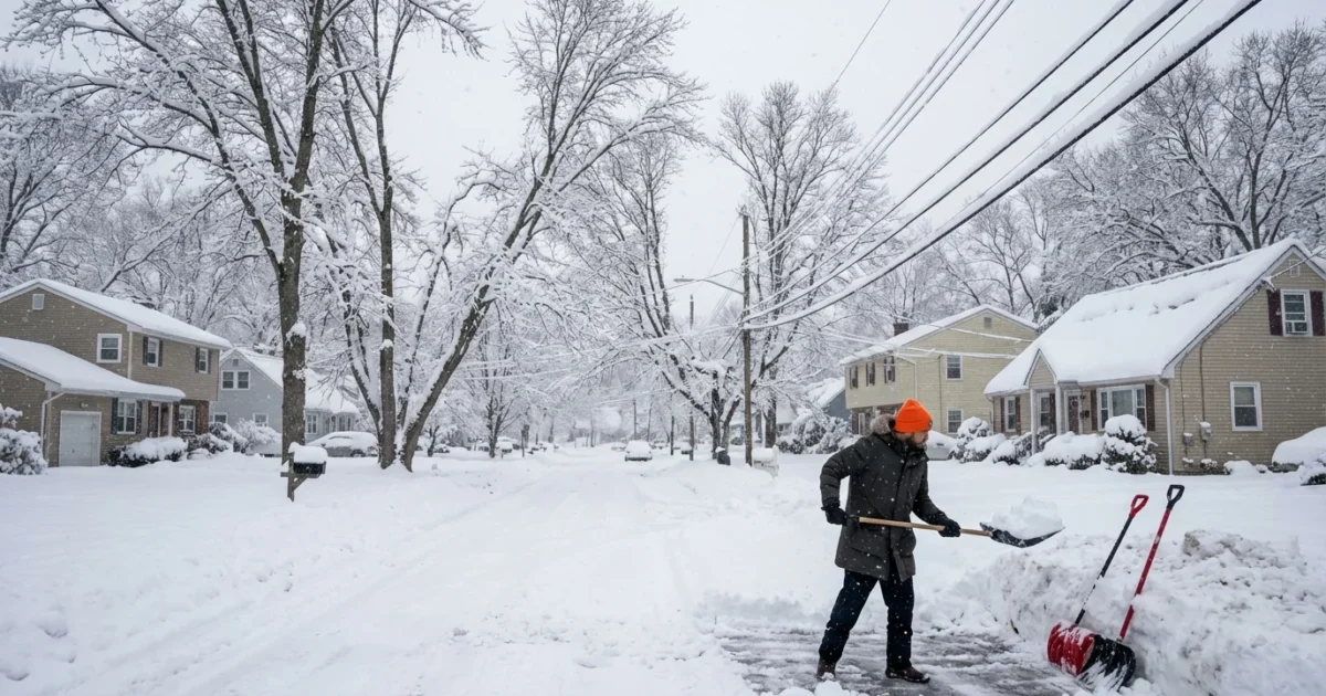
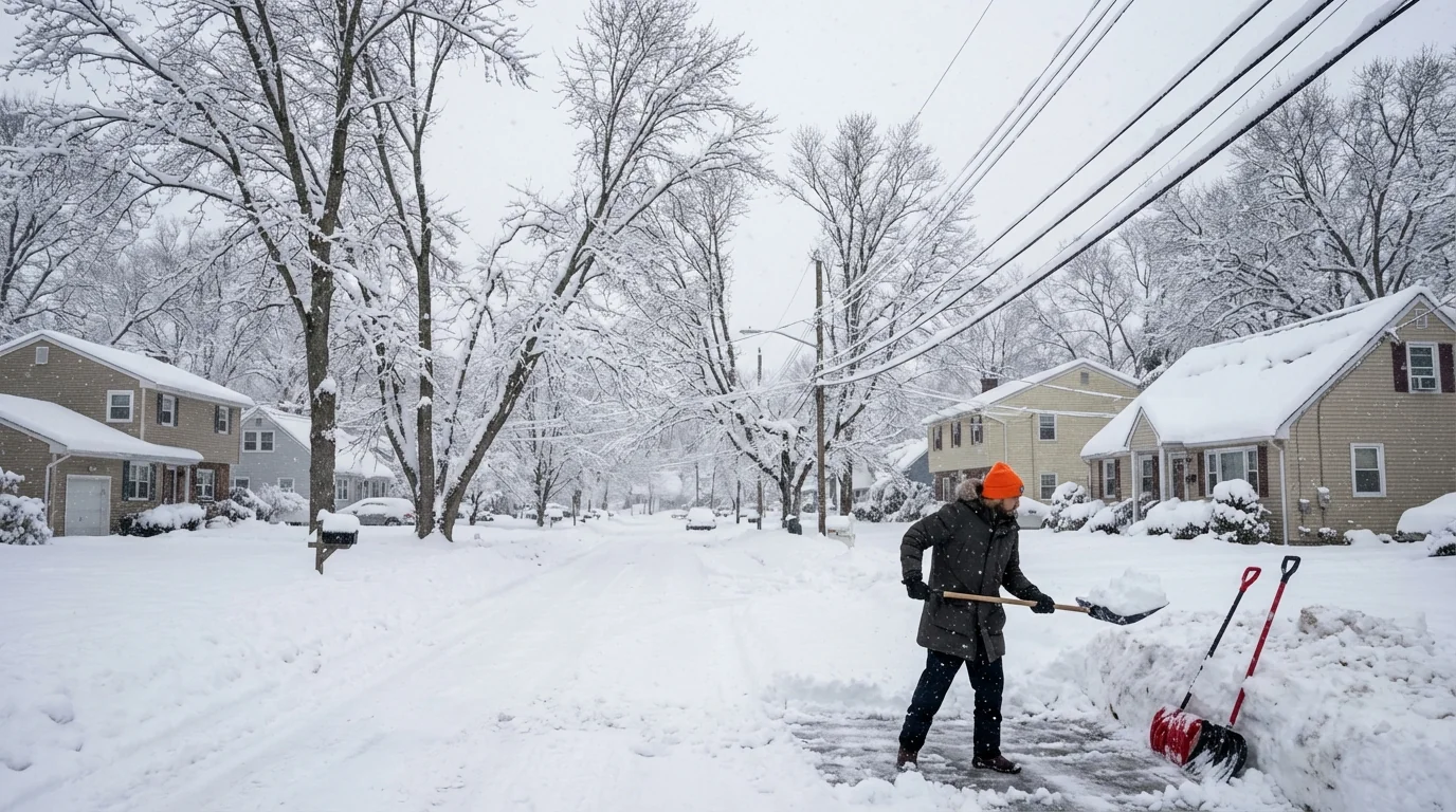
New Jersey woke to deep drifts and quiet streets after a high impact weekend storm. My measurements and verified local reports show peak snow totals near 17 inches in parts of the northern counties. Plows are chewing through the backlog. Commutes are starting again, but the morning came with slick surprises.
Where the snow hit hardest
North Jersey took the brunt. Several communities in higher terrain stacked up 14 to 17 inches. Many towns across Morris, Passaic, and Bergen landed in the 10 to 16 inch range. Bands off the ocean sat over the same neighborhoods for hours. That is why totals jump sharply from one town to the next.
Central New Jersey came in lower, mainly 6 to 10 inches. The heaviest bursts there were short. South and coastal areas saw 2 to 6 inches. A flip to sleet and rain kept numbers down along the Shore and near the Delaware Bay.
This was a wet, dense snow. It clung to trees and power lines. It piled high where the wind funneled through gaps. Shoveling took muscle. Snowplow ridges at driveway ends were heavy and crusted.
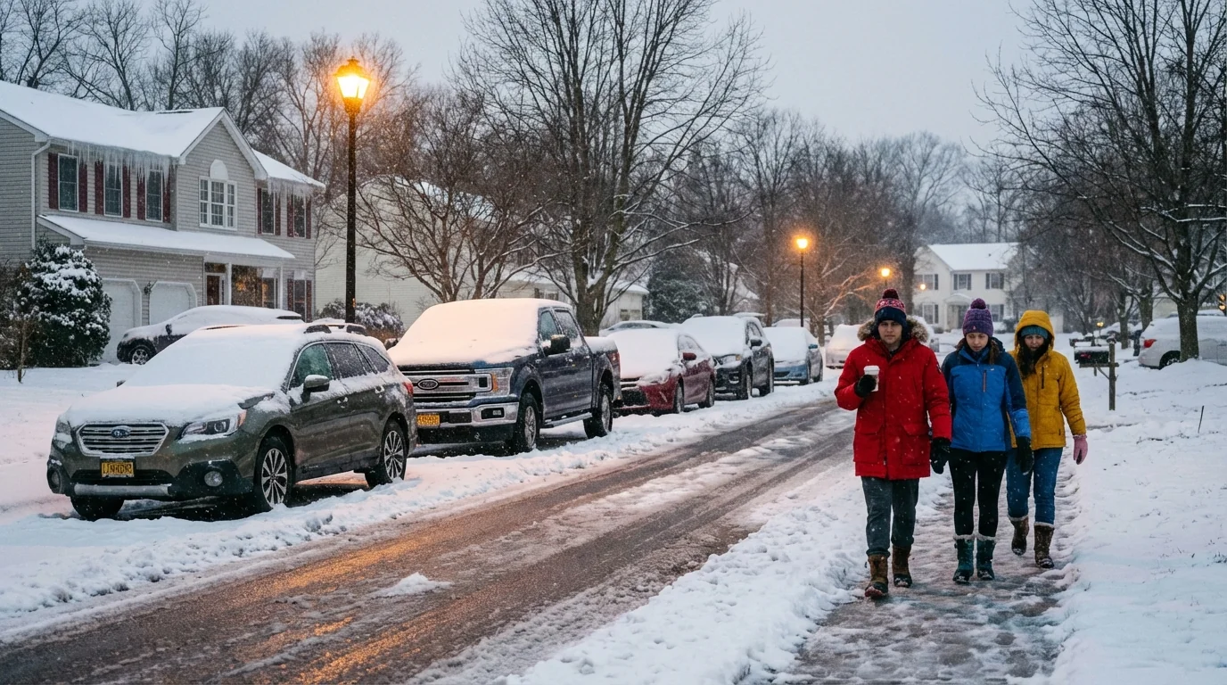
Roads and transit: messy morning, steady improvement
Highways were plowed early, but ramps and shoulders stayed slushy. Many local roads turned to packed snow. Intersections glazed over where traffic polished the surface. Crews are widening lanes through the day, and salting continues as temperatures hold near freezing.
Transit is largely back, with delays. Rail and bus riders should expect slower trips while switches and platforms are cleared. Parking rules are being enforced in many towns to let plows finish curb to curb. Give yourself extra time and space.
- Commute snapshot:
- Highways improving, watch the shaded lanes and bridges
- Local hills and side streets still slick
- Rail and bus service running with scattered delays
- Sidewalks patchy, plan for detours at corners
Black ice is the day’s wildcard. Refreeze is likely on untreated pavement, steps, and bike lanes. Go slow, even when the road looks wet.
Clear exhaust vents for furnaces and dryers. Blocked vents can cause carbon monoxide buildup inside homes.
Why this storm packed a punch
Cold air settled in late Friday and held firm. A coastal low rode north along the Mid Atlantic, pulling in deep Atlantic moisture. That moisture met the cold dome and went up fast, forming intense snow bands. Within those bands, snowfall rates neared 2 inches an hour at times.
Slight track shifts made big differences. A nudge west brought heavier snow into the I 287 corridor. A wobble east favored the immediate coast with more mixing. In short, small changes in storm structure set the winners and losers. That is common with coastal winter systems here.
The ocean helped. Warmer seas feed storms with extra vapor. More vapor means heavier bursts of snow when surface air is still cold enough. That is why we saw sharp gradients and thick, pasty flakes.
The climate signal in our snow
New Jersey winters are trending warmer. That shrinks the window for all snow events, but it also loads the dice for bigger dumps when the cold lines up. We get fewer chances, and some storms are rain. When the setup clicks, the atmosphere can wring out a lot in a short time.
Urban heat also plays a role. City centers and big suburbs run a bit warmer overnight. That can limit totals by a few inches, or speed the change to sleet. Just a degree or two matters along the rain snow line.
How we dig out matters for the environment. Heavy salt use washes into rivers and bays. It stresses fish, harms roadside trees, and corrodes pipes. Aim for smart clearing. Use salt sparingly after scraping down to bare pavement. Sand works for traction and can be swept up later.
Open storm drains and clear hydrants as you shovel. Keeping meltwater moving reduces street flooding when the sun returns.
What to watch next
Today brings gradual improvement. Sunshine and traffic will chew away at snowpack on main roads. Secondary streets will need repeated passes to push back banks. Temperatures sink again tonight, so any slush will refreeze. That sets up another round of early morning slick spots.
I am tracking a weak system sliding by midweek. Right now it looks light, with a chance for flurries north and a mix near the coast. Cold air hangs on, so snow piles will stick around. Expect melting by day, freeze by night, and watch for dripping ice near gutters and awnings.
Stay safe, stay patient, and check alerts before you head out. New Jersey is digging out fast. The work you do today, from clearing corners to easing off the salt, will pay off when the next storm comes calling.


