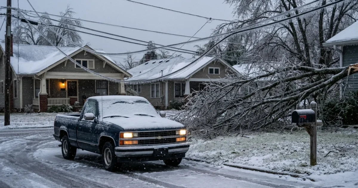
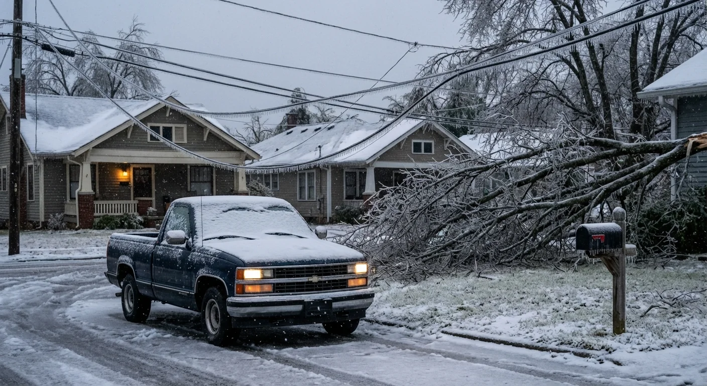
Nashville wakes to a city glazed in ice. Trees are snapped and streets are slick. Power is out on a massive scale across Middle Tennessee, with restoration slowed by dangerous conditions. I can confirm crews are working nonstop as fresh wind threats build this morning.
Power out, roads blocked, danger rising
A thick coat of ice has overwhelmed the region. Lines are sagging under the weight. Limbs that held overnight are failing now, with new cracks echoing in neighborhoods from Franklin to East Nashville. Traffic lights are dark. Side streets are impassable in many spots. The region is fighting what residents are already calling the worst ice storm in decades.
Utilities have paused some repairs where trees remain unstable. That choice saves lives. It also means many neighborhoods will stay dark longer than anyone wants. The focus today is clear, protect people first, secure hospitals and water plants, then rebuild the grid line by line.
Treat every downed wire as live. Stay at least 35 feet away. Call it in, then keep others clear.
Why this storm hit so hard
This was a classic freezing rain setup for the Cumberland Plateau and the Nashville Basin. Shallow Arctic air slipped near the ground. Warmer air a few thousand feet up rode over that cold layer. Snowflakes melted into raindrops in the warm layer, then those drops froze on contact with the subfreezing surface. The result was pure glaze ice, not sleet, and glaze loads lines and trees far more efficiently.
Even a quarter inch of ice adds hundreds of pounds to a span of line. Many areas likely saw more than that on trees and exposed surfaces. Oaks and maples kept extra weight on their broad limbs. Small branches failed first, then main limbs, then entire crowns. Once a line goes down under ice, neighboring spans often follow.
This risk is growing in a warming climate. Winters are trending milder on average, yet the atmosphere now holds more moisture. That moisture fuels heavier precipitation when cold snaps arrive. Nashville sits in a mixing zone where shallow cold air meets Gulf humidity. That means more frequent winter whiplash, mild afternoons followed by icy nights, with high-impact storms when ingredients line up.
The next 24 hours
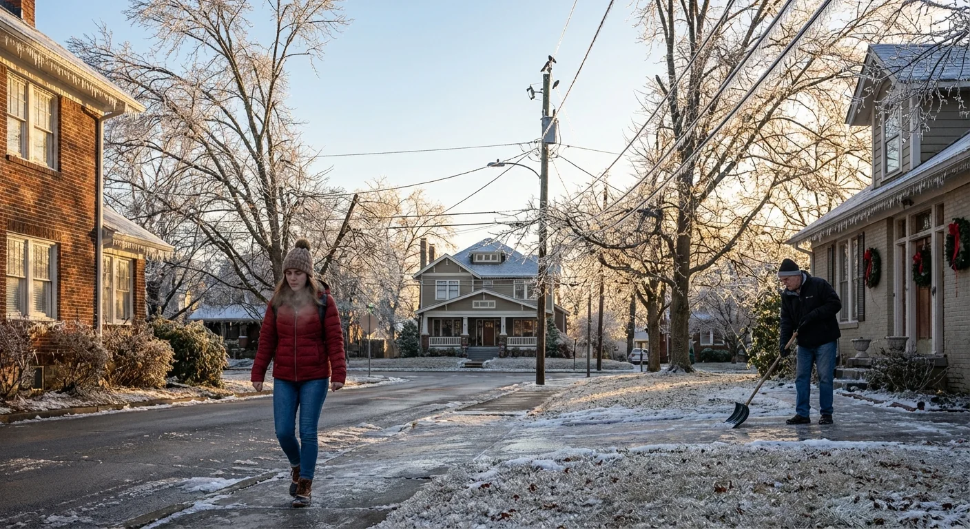
Gusty winds arrive today and tonight. Any gusts will shake ice that still clings to limbs and lines. We should expect more breaks and more scattered outages, even as crews make progress. Travel will improve on treated main roads, though bridges and shaded areas will refreeze early and often. Sidewalks and driveways will remain treacherous until temperatures climb above freezing long enough to melt the glaze.
If you hear trees creaking, move away from the sound. If you see lines tensioning or bouncing, keep a wide buffer. These signals mean weight is shifting and failure can happen fast.
Ventilate if you are using a generator. Keep it outside and far from doors and windows. Carbon monoxide is silent and deadly.
Safety first, while power comes back
Do not take chances on slick streets. If you must go out, plan a slow route on main roads only. Clear your car fully, including roof glass and headlights. Black ice will hide in low spots and near curbs.
Simple steps can help at home while crews restore power:
- Unplug electronics to protect them from surges when power returns.
- Keep fridge and freezer doors closed as much as possible.
- Use layers and blankets before using portable heaters.
- Check on neighbors who are older or have medical needs.
I am seeing promising work on feeder lines near major corridors. That is the backbone that allows neighborhoods to come back. Expect pockets of restoration, then new cuts as wind knocks more limbs free. Patience is hard in the cold, but it is essential for worker safety.
Building a more resilient Nashville
This storm is a warning shot. We live in a zone where ice will happen again. We can blunt the damage. Targeted undergrounding on the most outage-prone laterals pays off over time. Smarter tree care around feeders does too. Replace brittle, shallow-rooted species with native, storm-hardy trees that bend and recover. Harden key sites like schools and fire stations with microgrids and battery storage. Incentives for home weatherization and heat pump backup modes can lower peak stress on the grid.
A resilient city plans between storms, not during them. That means mapping vulnerable circuits, training more arborists, and coordinating faster debris removal so line crews can actually reach the break points. It also means treating shade trees as infrastructure. Healthy, well-managed canopies reduce wind speeds at street level and bounce back faster after ice.
The bottom line
Nashville is in the thick of a high-impact ice event, and the job is not done. Ice brought the grid to its knees. Wind may press the blow. Crews are prioritizing life and critical services, then pushing outward. Stay clear of hazards, conserve heat, and give the people in the bucket trucks the space and time they need. We will get the lights back, one span at a time.


