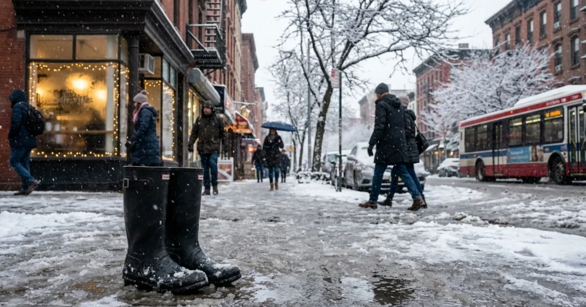
Snow moves in early Tuesday, just in time for the morning rush. I am tracking a quick dose of light snow that will coat roads before a warm push turns flakes to rain by late morning near the coast. This is a classic early season setup, brief but messy, with slick bridges and ramps and fast-changing conditions.
How many inches, and where
Most coastal cities should expect a dusting to 1 inch before the change to rain. That includes the I‑95 corridor from Philadelphia to New York City to Providence. Farther inland, where cold air hangs on longer, totals rise to 1 to 3 inches. Hill towns north and west of the big cities, interior New Jersey, the Lower Hudson Valley, interior Connecticut, central Massachusetts, and southern New Hampshire have the best chance to touch the higher end.
The cut line between a coating and a couple of inches will be sharp. Shorelines and urban cores warm first, so snow there will be brief and slushy. Elevated spots cool faster and keep snow longer, so totals there add up. Expect wet, heavy flakes, not powder. That matters for traction and plow speed.
Timing you can plan around
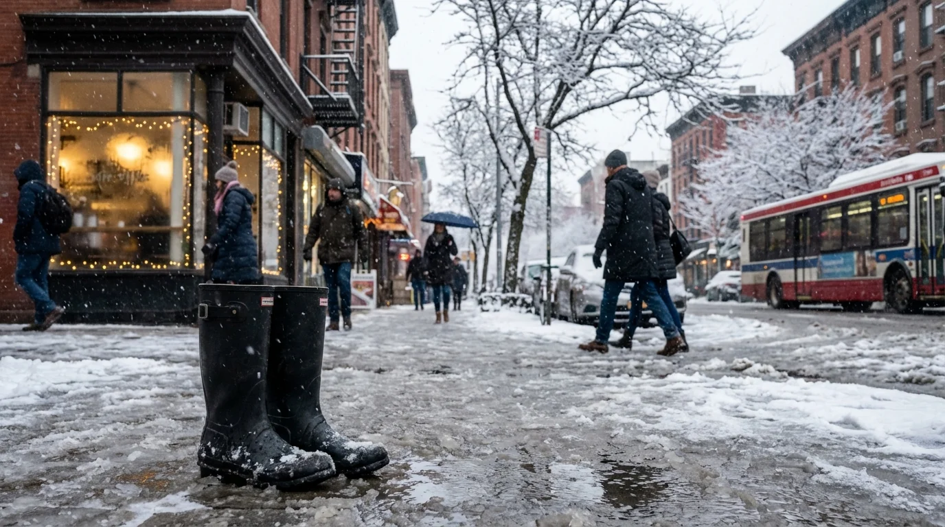
This is a quick hitter. The first flakes reach the Mid‑Atlantic before dawn, then spread northeast through sunrise. The steadiest snow falls during the morning commute. Warmer air then lifts in from the south, flipping snow to rain from south to north through late morning and midday. Inland hills may hold snow into early afternoon.
- Philadelphia to central New Jersey: 4 to 7 a.m. snow, change to rain by mid to late morning
- New York City, Long Island, southern Connecticut, northern New Jersey: 5 to 9 a.m. snow, rain takes over late morning
- Lower Hudson Valley, interior Connecticut, central Massachusetts: 6 a.m. to noon snow, change mid to early afternoon
- Southern New Hampshire and interior northeast Massachusetts: 7 a.m. to early afternoon snow, slower changeover
Road crews will be fighting a narrow window. Pretreatment helps at first, but the flip to rain can wash salt away and refreeze on cooler surfaces. That creates surprise slick spots even as air temperatures rise.
The most hazardous window is the transition from snow to rain. Expect sudden loss of traction, reduced visibility, and slush hiding black ice.
What is driving this setup
A fast wave is riding a temperature boundary across the Northeast. Cold surface air is shallow and patchy. Warmer air aloft noses in quickly. That means snow crystals fall into a warming layer, compact, and become wetter as they reach the ground. Coastal areas are closer to the ocean’s warmth, so the snow phase is short.
This pattern fits a growing winter theme. Winters are warming in the Northeast. That shifts many events into mixed precipitation. We still get bursts of snow, and sometimes bigger storms, but the rain line often pushes north sooner. When moisture is strong, totals can spike inland. When warmth wins, final snowfall looks underwhelming but travel still takes a hit.
Commute and transit impacts
Expect delays on secondary roads, untreated side streets, and elevated spans. Even a half inch of wet snow can glaze a ramp. City bike lanes will slush up. Bus stops and curb cuts will pond as rain arrives. Trains and subways usually run through light snow, but platforms get slick and signals can slow schedules.
I will be watching for quick bursts that drop visibility to a quarter mile. That can happen in the core of the snow shield, even if totals stay light. If you can, start 30 to 45 minutes early, or wait out the worst of the changeover.
Smart moves for safety and sustainability
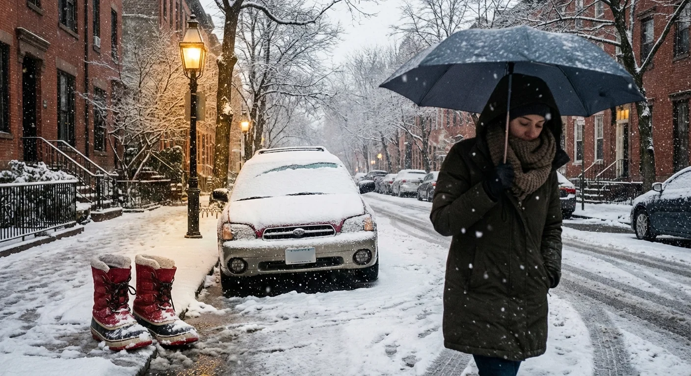
Small choices add up on a day like this. Wet snow and fresh rain wash road salt into rivers and bays. Use only what you need on steps and sidewalks. Sand can add grip without adding chloride. Clear storm drains so rain can run off, not freeze into ruts.
If you have the option, take transit for the morning trip. It lowers crash risk and cuts emissions when traffic is at its worst. Wear shoes with tread, pack a small towel for wet platforms, and keep a bright layer on top for visibility.
Brush off your car fully, including lights and roof. Keep headlights on, leave extra space, and brake gently. For cyclists, lower tire pressure a few pounds, slow your turns, and treat metal plates like ice.
Bottom line
How many inches of snow on Tuesday depends on your zip code and elevation, but the story is the same. A quick morning burst puts down a coating to 1 inch along the coast, and 1 to 3 inches inland, then rain takes over from south to north. The commute is the impact zone. Plan around the changeover, move with care, and make choices that protect both your trip and your watershed. The snow is brief. The lessons about a warming winter are not.

