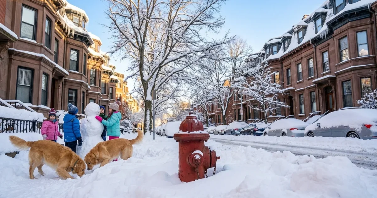
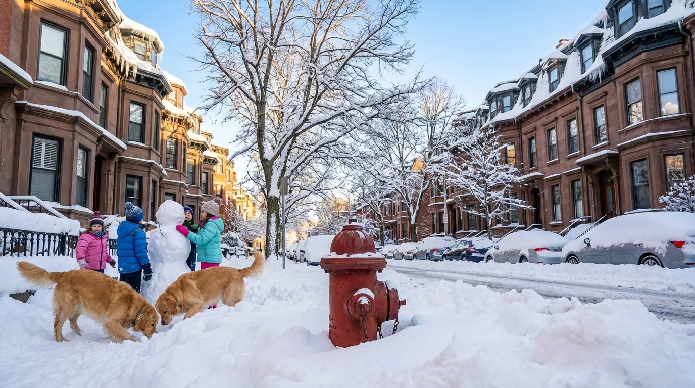
Boston is digging out, and the numbers are big. I am tracking the city’s snowfall in real time as Day 2 bands keep firing. The headline for residents is clear. Boston has crossed the double digit mark, with more to come in bursts through the afternoon. Nearby suburbs have seen even more, including pockets over two feet where the heaviest bands parked.
Where Boston stands right now
If you want the official Boston total, it comes from one spot, Logan Airport. That single measuring site is the standard for the city. It is updated by the National Weather Service as crews clear the board and recheck the snow board reading. Logan’s number tells one story, but it is not the whole city.
Across neighborhoods, totals are uneven. Some streets picked up fluffy powder for hours. Others saw a spell of sleet pellets that compacted the snow. The difference shows up on the tape measure. Reports around the urban core and inner belt point to totals in the teens, while select towns north and west crossed the two foot mark in jackpot bands. Those bands are still wobbling over the region, so a final city number will continue to inch higher.
Boston’s official total is measured at Logan Airport, a coastal site. Your neighborhood can be several inches higher or lower.
Why totals vary so much across short distances
This storm drew deep Atlantic moisture into cold air, a classic New England setup. The ocean stayed relatively warm for January, which loaded the system with water vapor. That helped fuel intense snow rates, two to three inches per hour at times, especially in narrow bands.
A coastal front formed near the shoreline. On the ocean side of that boundary, air was a touch milder and a bit denser. That can squeeze out wetter snow and even moments of sleet, which lowers accumulation. On the city’s inland side, colder air produced lighter, fluffier flakes that pile up faster. Add wind gusts that shifted band placement, and you get sharp gradients from neighborhood to neighborhood.
Climate context matters here. Winters in the Northeast are warming overall, yet heavy snow events can still hit hard when cold air aligns with very moist storms. A warmer ocean and atmosphere hold more water. That raises the ceiling for intense precipitation, rain in warm seasons and heavy snow when temperatures stay below freezing. This is one reason we are seeing higher variability in snow outcomes across the region.
What to expect the rest of today
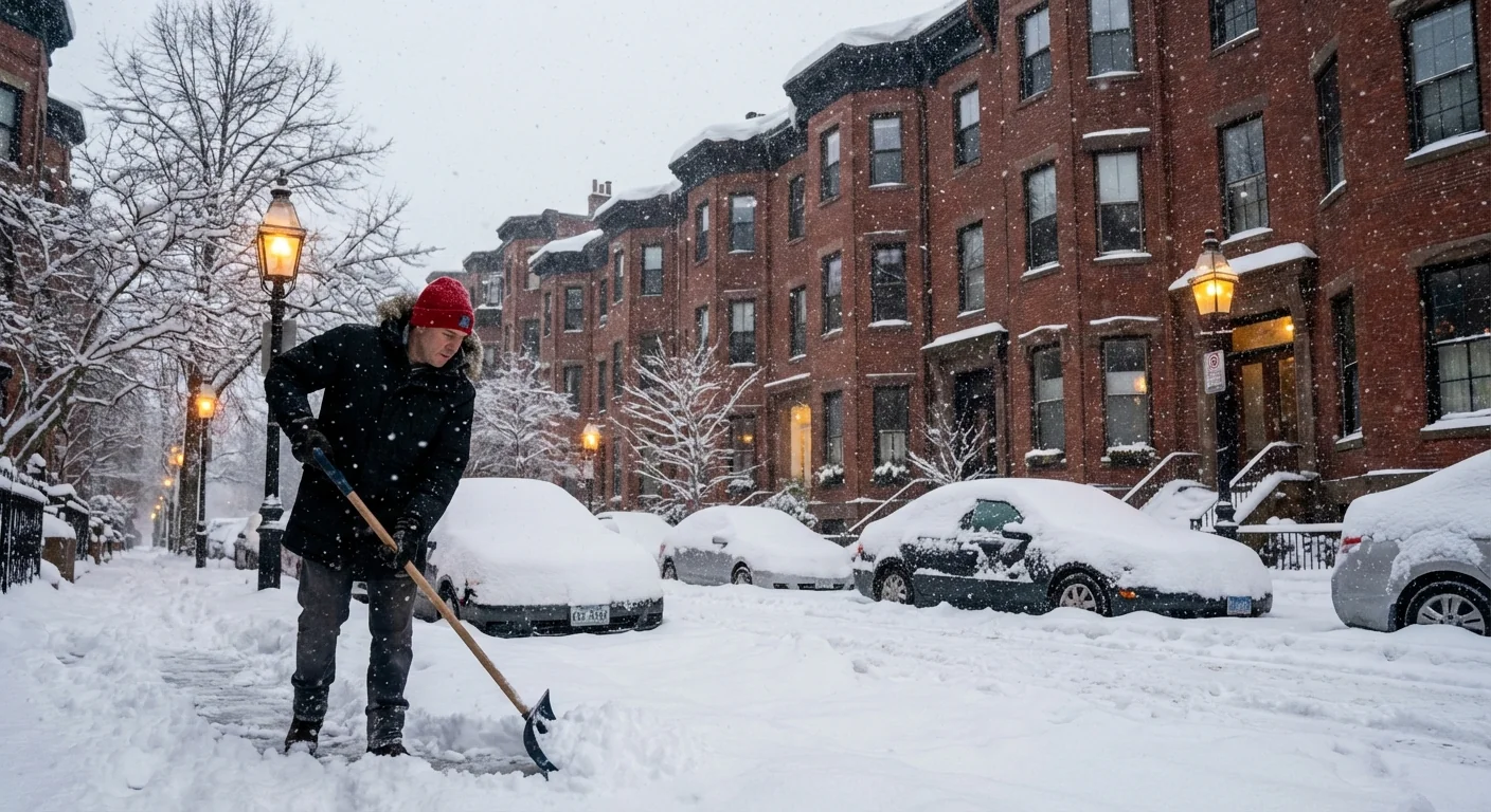
Snow showers will continue to spin through Boston. Most will be light, but quick bursts may still add a half inch here and there. Winds stay gusty, which will blow and drift the lighter snow back onto treated roads. Cleanup will be slow, and visibility can drop fast near heavier bands.
Travel impacts continue. Airlines at Logan have delayed and cancelled flights to manage deicing, crew limits, and runway clearing. Streets remain slick, even on main routes. School closures and parking bans are in effect in many communities as plows try to widen lanes and reach side streets.
- Watch for sudden whiteouts in passing bands
- Expect snow piles to narrow intersections and crosswalks
- Give plows and spreaders extra space on turns and hills
- Check transit alerts before heading to a station
Road conditions can change minute by minute under banding. If you do not have to drive, delay travel until plows and salt have time to work.
Cleanup and sustainability, smarter choices after a big dump
Fresh, cold snow is easiest to move early. Push it back from curbs before it sets up. Clear hydrants and storm drains so meltwater can flow away from homes. Think about where the snow melts. Piles near driveways and catch basins can refreeze into thick ice tonight as temperatures dip.
Salt works, but it carries a cost. Heavy salt use harms pets, plants, and the Charles River. It also corrodes cars and bridges. Use only what you need, and switch to sand for traction on very cold surfaces where rock salt is less effective.
Shovel first, then spot treat. Use a coffee mug to spread a light, even layer of salt, about a half cup for a standard parking space.
City crews are balancing safety with runoff risks. Expect brine and treated salt on main corridors, with more sand on neighborhood hills. Residents can help by clearing sidewalks to full width, uncovering curb cuts, and keeping trash barrels off the street so plows can pass cleanly.
The bottom line
Boston’s official snowfall will finalize at Logan when the last bands fade, but the city is already in the double digits, with some nearby towns over two feet. The storm’s structure explains the wild swings in totals across short distances. Warmer oceans added fuel, cold air did the rest, and the result is a high impact snow event in a warming climate. Keep an eye on lingering bursts, give crews room to work, and clean up with care. The snow will end, but the footprint we leave in salt and runoff lasts far longer than the storm itself.


