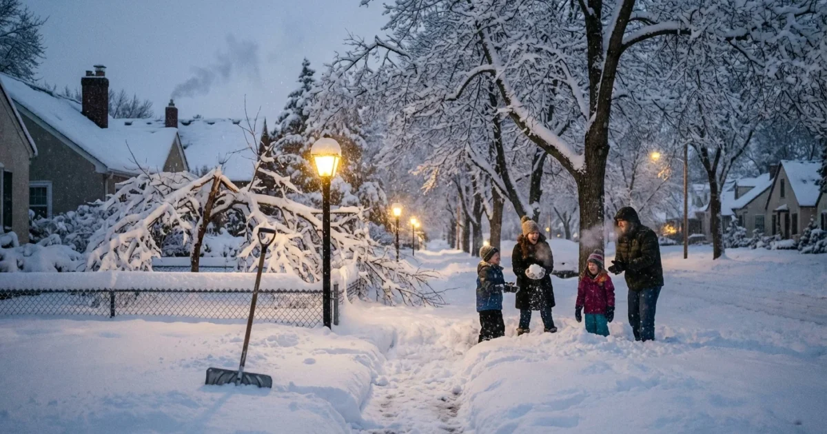
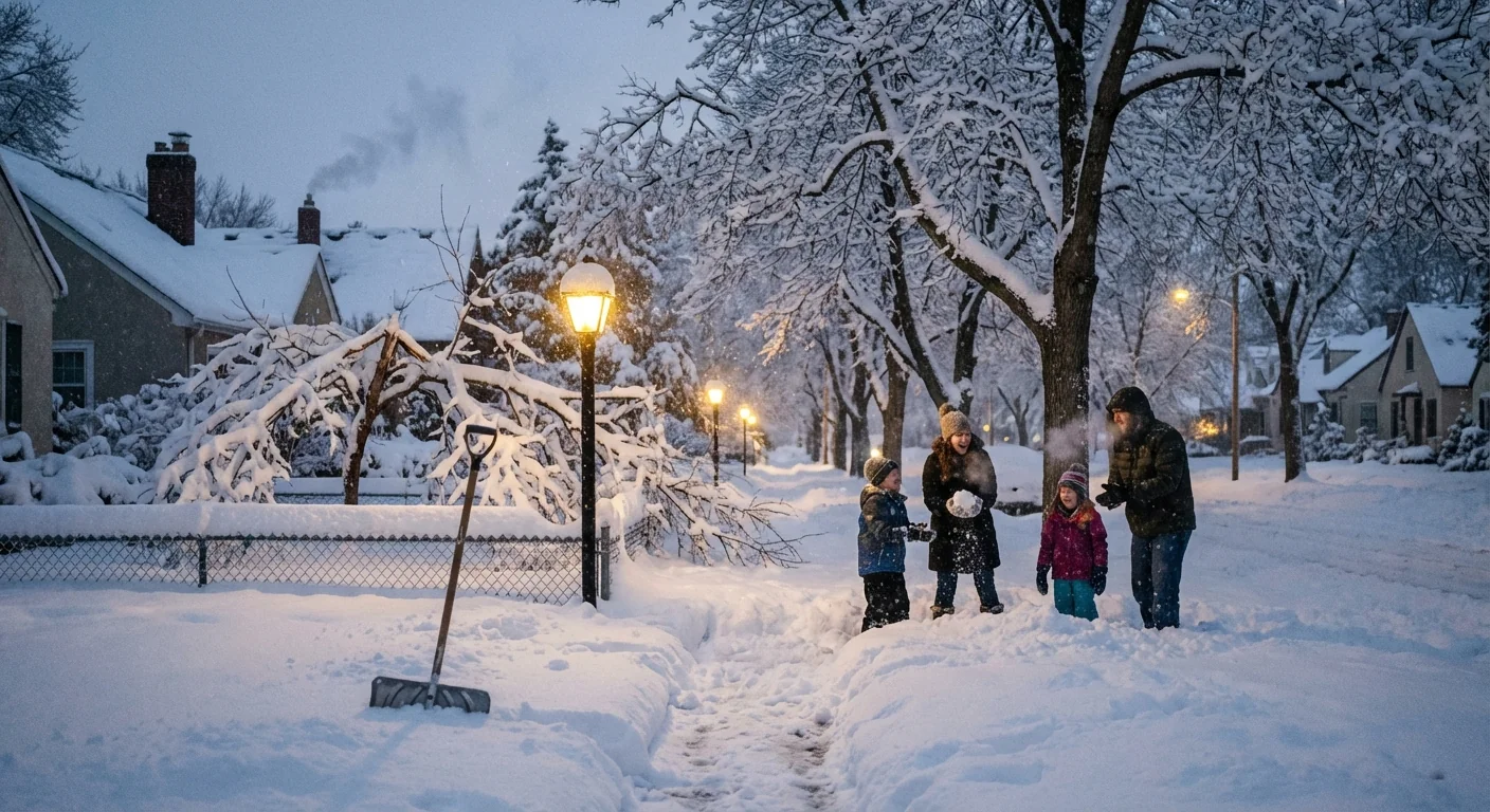
Minneapolis is under siege by a fast-building winter storm this afternoon. Snow is coming down hard. Winds are roaring. Visibility is slamming to near zero in open areas. Travel is dangerous and could turn life threatening after dark. I am tracking the core of the storm moving across southern and central Minnesota now, with the heaviest impacts through tonight into Monday morning. ❄️
What to expect next
Heavy snow bands are pulsing across the metro. In the strongest bands, roads will cover in minutes. Expect blowing and drifting, with plows quickly re-covered by fresh snow. Wind gusts will push 35 to 45 miles per hour, higher on exposed roads and bridges. That will create near whiteout bursts, especially on the north and west sides of the city. The peak intensity arrives this evening, then slowly eases toward daybreak Monday. Slick conditions and drifting will linger into the morning commute.
Power outages are possible where heavy, wet snow loads up trees and lines. The snow will start sticky, then turn lighter as colder air wraps in. That shift increases blowing and drifting overnight. If you live near open fields or along parkways, plan for deeper drifts across driveways and sidewalks by morning.
Avoid nonessential travel tonight. If you must drive, tell someone your route and arrival time. Keep a full tank and a charged phone.
Why this storm is so dangerous
This is not just about how much snow falls. It is about how fast it falls and how the wind moves it. Visibility can drop from a few blocks to a few yards in seconds. That is when pileups happen. The snow is also heavy enough to stress tree limbs. Combined with gusty winds, we could see scattered power cuts. Crews can only move so fast on ice covered roads.
There is a climate signal here too. Winters are warmer on average across Minnesota. Warmer air holds more moisture. When storms line up with cold air, that extra moisture can dump heavier snow in shorter bursts. We are also seeing sharper swings in temperature and wind as the jet stream meanders, which can feed rapid storm development. That means more high impact events, even in a warming climate.
How to stay safe right now
You still have time to prepare before the worst winds peak. Focus on heat, light, food, and communication.
- Charge phones, battery packs, and medical devices now.
- Set your thermostat a few degrees higher, to store heat before any outage.
- Gather a 24 to 48 hour kit with water, shelf stable food, and medications.
- Park off street if possible, to clear lanes for plows and emergency vehicles.
- Bring shovels and sand inside, so you can dig out doors that drift shut.
Put flashlights where you can reach them in the dark. Candles raise fire risk during windy outages. Use LED lights instead.
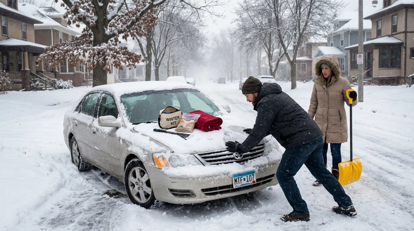
If you must travel, slow down and leave extra room. Snow tires and all wheel drive help, but they do not change physics on ice. Keep a winter car kit with blankets, snacks, a scraper, a small shovel, and traction sand. If you get stuck, stay with your vehicle. Running the engine 10 minutes each hour can keep you warm, but clear the tailpipe first to prevent carbon monoxide.
Roads, transit, and power
Expect rolling closures on highways if visibility collapses. Ramps and overpasses will ice first. Metro Transit will run as conditions allow, but delays are likely as buses fight drifts. If you can postpone a flight, do it early. Deicing backlogs ripple fast during storms like this.
Track road conditions through Minnesota’s 511 system, either by app or phone. The City of Minneapolis will announce snow emergency phases if needed. Move cars on schedule to avoid tickets and to speed plows. Clear sidewalks as soon as it is safe. Keep hydrants visible for firefighters. If your power goes out, report it right away so crews can map damage. Unplug sensitive electronics, then wait for a steady return before plugging back in.
For real time updates, use National Weather Service Twin Cities alerts, Minnesota 511 road info, and your utility’s outage map. If you lose heat and cannot stay warm, call 311 inside Minneapolis, or 911 for emergencies.
The climate perspective
Days like this will not disappear in a warming world. They change shape. We are trading some long, deep freeze stretches for shorter, wetter punches. When the air is just cold enough, storms wring out bigger snow totals from moisture rich clouds. That stresses plow fleets, power lines, and our routines. It also highlights solutions we control. Weatherize homes to hold heat. Upgrade insulation and windows. Support resilient grids that add local storage and underground lines. Choose low emission travel when roads recover, to cut the pollution that fuels future extremes.
After the storm
Let crews work. Shovel safely, with breaks and small loads to avoid strain. Check on neighbors. Keep street drains open as plows push slush aside, because a quick warmup can turn drifts into ice pools. Small actions help a city bounce back faster.
This is a dangerous storm, but it is also a teachable one. We prepare, we look out for each other, and we adapt. I will keep watching the bands, the wind, and the power grid through the night. Stay inside if you can. Stay patient. We will get through this together. 🌬️


