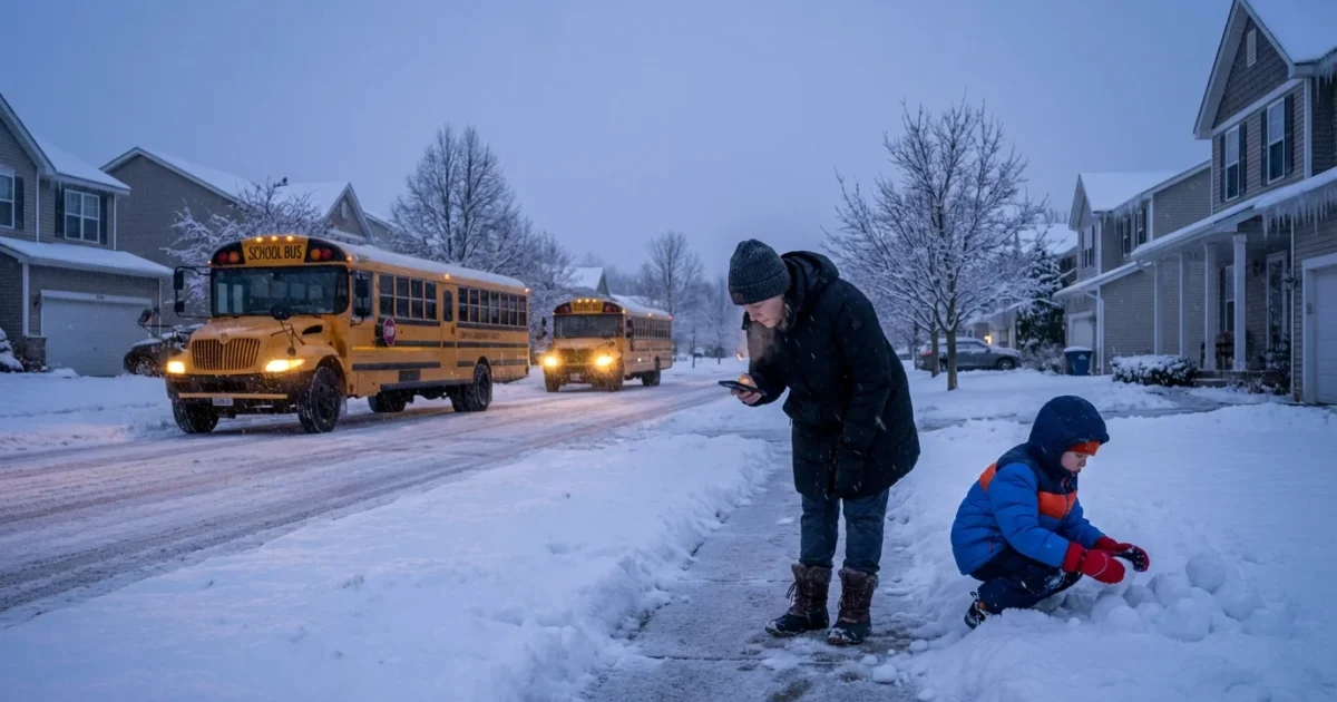
Schools across Michigan are closing or delaying for Thursday, Jan. 15, as fast-changing winter weather moves in. Districts from Metro Detroit to West Michigan are updating families tonight, with more calls expected before dawn. One Northern Michigan district shut down two days ago because of a bomb threat, an isolated safety case that adds urgency to this week’s decisions.
Closings spread as weather tightens its grip
I am tracking a broad round of lake effect snow bands, patchy freezing drizzle, and a quick drop in temperatures. That mix makes side streets slick, bus steps icy, and rural routes risky in the dark morning hours. Many superintendents are opting for delays, some for closures, to keep buses and student drivers off the worst roads.
Parents should expect more updates late tonight and again between 5 and 6 a.m. These are the hours when road crews and school transportation teams complete test drives, then make final calls.
Do not send students to bus stops until your district confirms status. Early waits in the cold can be dangerous.
What is driving the decision, tonight’s weather setup
A shallow but sharp cold front is sweeping south across the state. Behind it, winds over the Great Lakes are lining up with long fetch, which feeds narrow but intense snow bands. A small shift in wind can move a band from one township to the next in minutes. That is why some districts close while neighbors stay open.
Road salt works slower in colder air, and it struggles on untreated side streets. Bridges and overpasses glaze first. Expect the worst travel near daybreak, when temperatures bottom out and traffic is light. Visibility will also drop fast when lake effect streamers pivot inland. In plain terms, the morning window looks rough in many zones, especially where bands set up and sit.
Safety first, your quick plan for the morning
Closures and delays ripple through childcare, meals, and after-school events. Families can cut the stress with a fast, simple plan.
- Turn on district app and text alerts, then charge phones and laptops tonight
- Park cars facing out, brush snow early, and clear tailpipes before warming engines
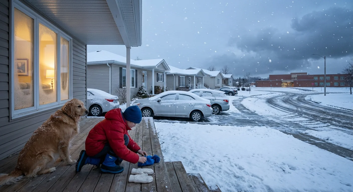
- Lay out boots, hats, and bright outerwear for walkers and riders
- Keep breakfast simple, but pack water and an extra snack
- If roads are passable later, check for curbside meal pickup options
Set two alarms, one for the first round of notices, another 30 minutes later. That mirrors how many districts stagger updates.
How to verify a closure fast
- Check your district’s website banner and mobile app.
- Read the latest text or email from the superintendent or transportation office.
- Tune in to a trusted local TV or radio station for the region-wide board.
Climate context, why storms are getting trickier
Warmer Great Lakes hold more heat deep into winter. That extra energy loads passing cold snaps with moisture, which can supercharge lake effect bursts. We are seeing longer fall thaws, then sharper flips to cold. That shift increases freeze and thaw cycles, which means more black ice, more potholes, and greater bus stop hazards.
At the same time, heavy snow bands can be narrower, but more intense. One city can see near whiteout for an hour while the next town stays mostly dry. This micro-scale risk is hard to time, and it pushes districts to be cautious when morning travel is on the line.
Climate resilience now reaches the schoolhouse door. Districts are testing smarter route planning, better sensors on buses, and improved sidewalk treatment that uses less salt and more brine. That protects waterways while keeping traction. Some are adding remote learning days as a last resort, but leaders still weigh equity, device access, and power stability.
What to watch tonight and early Thursday
Expect bursty snowfall in west to east bands, with the heaviest tied to the lakeshore counties and common snowbelt corridors. Temperatures will slide, and roads will refreeze where slush lingers. Wind chills will bite at bus stops, even if the air is only moderately cold. If your district is on the fence this evening, a two hour delay may be the middle path, with a final call near sunrise.
Remember, one Northern Michigan district closed earlier this week because of a bomb threat. That was not weather related, but it is a reminder that safety decisions can have many layers. If your school reports a non weather closure, rely only on direct district messages and local authorities for guidance.
Conclusion
Michigan’s winter is flexing tonight, powered by lake heat and a sharp cold push. That mix drives quick changes block by block, which is why school plans may shift late. Keep alerts on, gear ready, and travel choices conservative. The goal is simple, safe students in the morning, and a clear path back to class once the roads, and the skies, settle. ❄️


