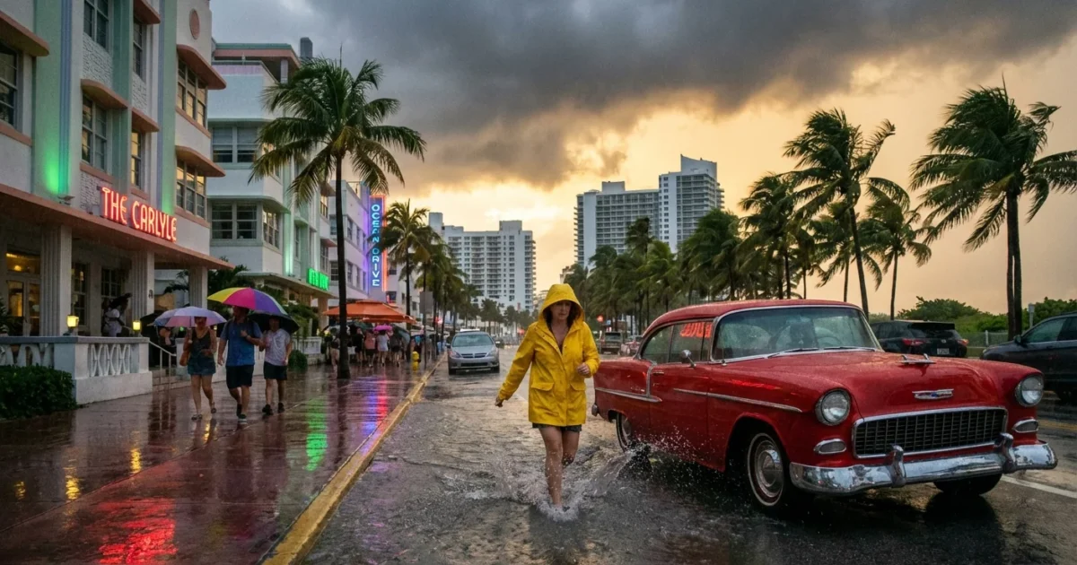
BREAKING: Miami braces for flash flood threat as strong cold front slams South Florida
Miami’s weather flipped fast today. Skies turned mostly cloudy, winds picked up, and a sharp chill followed a strong cold front. Temperatures sit near 71°F this afternoon, with showers likely between 4 and 6 PM. The bigger story is the rain setting up for days, with several inches possible and a real risk of flash flooding across the metro.
What is happening right now
Gusts have reached around 30 mph at times as cooler, drier air pushes in behind the front. The air will not feel truly dry yet. That arrives later in the week. Tonight drops to the mid 60s along the coast, and near 50 inland. Roads may be slick by the evening commute, even before heavier rain returns.
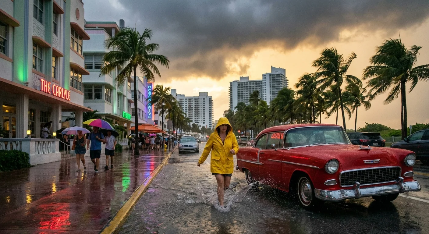
The atmosphere over South Florida is still loaded with moisture. The front acts like a ramp, lifting warm air and forming slow moving rain bands. These bands can line up over one area for hours. That is how you get several inches of rain in a short time.
Flash flood watches are in effect for parts of South Florida. Rain totals of 3 to 6 inches are likely in some areas, with isolated 7 to 8 inches possible. Urban flooding and road closures are possible, especially in low spots and near canals.
The setup, and the science behind it
Cold fronts are natural weather boundaries. Warm, humid air rises over the denser cool air and condenses into clouds and rain. This front is tapping deep tropical moisture from the Caribbean and Gulf. That is why the rain threat stays high even as temperatures fall a bit.
A warming climate adds fuel to this pattern. Warmer oceans release more water vapor into the air, which can supercharge downpours. Sea levels are also higher in South Florida, which slows drainage after heavy rain. Add paved streets and packed soils, and water has fewer places to go. Flooding arrives faster, and clears more slowly.
Timeline and local impacts
Showers move through this afternoon and evening, with breaks between cells. The most intense rainfall potential lingers through mid week. Some neighborhoods will see repeated bands that train over the same areas. That is where totals can spike.
By mid to late week, dew points drop. The air turns less humid, and showers thin out. A drying trend should take hold into the weekend, but soils may stay saturated. That means even lighter rain can still cause ponding for a time.
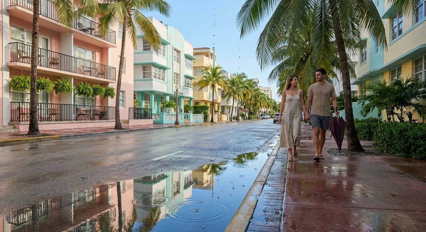
Treat every flooded street as unsafe. A foot of water can float a small car. Even six inches can move you off your feet. Turn around, find higher ground, and call 911 if you see life threatening flooding.
A practical guide for Miami residents
Plan for bursts of heavy rain and short lead time warnings. Keep travel simple and flexible. If you can, complete errands early today. Expect delays around low lying intersections and underpasses. If you work late, consider parking on higher ground.
- Clear leaves from street drains, gutters, and balcony scuppers
- Charge phones, lights, and medical devices, and check batteries
- Move cars off flood prone streets and out of swales
- Keep an emergency bag dry and ready, with meds and documents
- Use transit when possible to reduce traffic and wake waves on flooded roads
Monitor official alerts from the National Weather Service and Miami Dade County. Enable emergency notifications on your phone. If a Flash Flood Warning is issued for your area, move to higher ground immediately.
Why this matters for climate and sustainability
South Florida sits at the meeting point of warm seas, flat land, and dense development. That mix raises flood risk during slow moving storms. Warmer air holds more moisture, which stacks the deck toward heavier rain days like this. Rising seas push groundwater higher, so storm drains fill faster. The result is more frequent street flooding, even outside of hurricane season.
Cities are adapting with pumps, higher roads, and more green space that can soak up water. You can help by planting native plants, using rain barrels, and keeping storm drains clear. Small actions add up, and they work best when paired with good forecasts and smart planning.

