
Snow is stacking up fast across the lower Midwest, and your yard may not match the number from the next town over. I am tracking the storm in real time. Narrow snow bands are dropping quick bursts, then shifting, then doubling back. That is why everyone is asking the same question. How many inches of snow fell right here? ❄️
Where to find your exact total
For a verified number, you have two good options. First, check the latest public reports from your local National Weather Service office. They collect measurements from trained spotters and quality control the data. Second, measure at home, the right way, and compare with nearby reports.
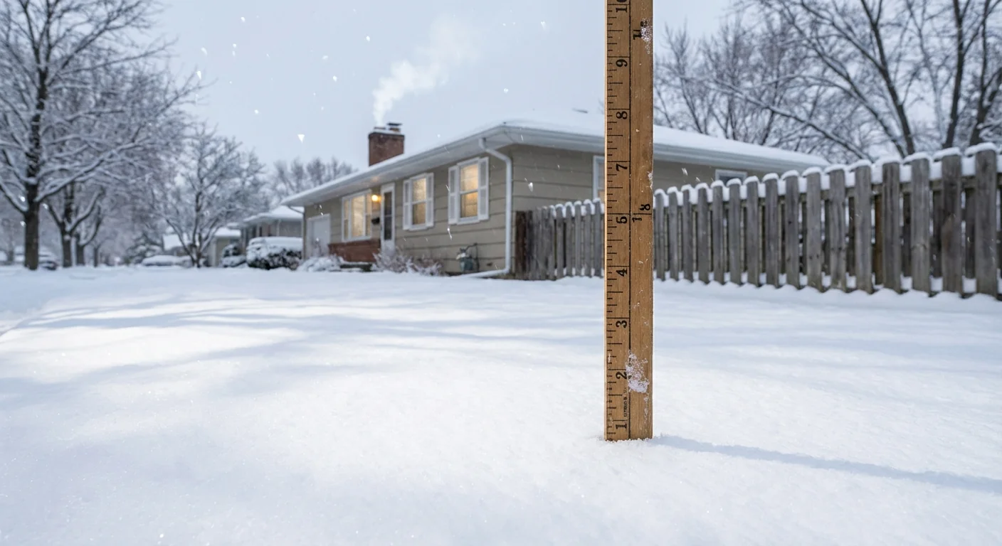
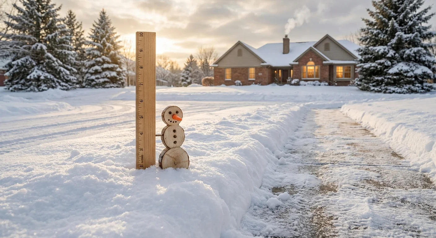
Here is how to measure at home. Use a flat, level surface away from trees and buildings. Avoid drifted areas. If the snow fell in waves, take three measurements in your yard and average them. Clear your board each hour if you can, then log the time. That shows rate and totals. Wind can change your number by a lot, so note gusts if you see blowing snow.
- Reliable places to check: your local NWS office page, county emergency alerts, airport observations, and DOT camera feeds
Measure on a snowboard or a flat piece of plywood, not on warm patios or grass. Record the time and round to the nearest tenth of an inch.
Totals will update all day as new reports arrive. Expect corrections. When a heavy band stalls over one neighborhood, the map will change fast.
Why your street looks different
This storm is a classic banded snow setup. In a narrow corridor, air is lifted quickly, clouds grow deeper, and snowflakes pile up much faster. One mile away, the lift is weaker, and totals lag behind. That is why a friend across town might report half your amount, or double.
Snow type matters too. Fluffier snow has higher snow to liquid ratios. It builds deeper piles from the same amount of moisture. Warmer air near the surface can make flakes wetter and heavier. That compacts faster, so your ruler shows less, even as the same water falls. Add wind, and drifts can bury one side of the street while the other side looks modest. Urban heat also plays a role. Pavement in cities stays warmer at first, which delays sticking. Once roads cool, totals jump quickly.
What to expect in the next 6 to 12 hours
The storm track today favors a pivot of the heaviest band near central Indiana and the Louisville region. The most intense snow will focus where that pivot slows. A small jog in the low pressure path will shift the axis of higher totals. That means you should watch the radar loops and the hourly observations. If the band parks over you for two to three hours, your total can jump by several inches.
Road conditions can flip in minutes when a burst moves through. Crews are prioritizing main routes, but side streets will lag. As temperatures fall this evening, slush will refreeze. Visibility will drop quickly in the heavier snow. If you must travel, plan more time and carry a winter kit.
Expect rapid changes in road grip, visibility, and plow effectiveness during banding. Check local advisories before you drive, and slow down near plows.
If you live south of the Ohio River, a brief mix with sleet is possible. That would cut totals for a time, then the change back to snow can stack a fresh inch or two on top of a crust.
The climate signal behind sharper swings
A warmer atmosphere holds more moisture. When it is cold enough to snow, that extra moisture can supercharge snowfall rates. We are seeing more intense bursts, with sharper gradients, in many winter storms. At the same time, some winters have fewer snow days overall, and the rain snow line tends to sit a bit farther north. That creates whiplash. Weeks of little snow, followed by a fast hitter that buries one narrow zone. Cities face added stress, from sudden plowing surges to salt demand, plus more meltwater rushing into streams after the event.
Understanding this pattern helps you plan. Even if your season total is near average, the way it arrives is changing. Short windows, higher rates, bigger local differences.
Sustainable choices while you dig out
You can protect water, air, and your budget while you clear the driveway. Shovel early and often, before compaction and refreeze lock in. Use salt carefully. Scatter it, do not pour it, and sweep up extra after the melt. Too much chloride harms streams and soil. Keep car idling to a minimum to cut pollution during inversions. If you have a neighbor who needs help, check in. Fewer ambulance trips on slick streets reduce risk for everyone, and lighten the load on first responders.
Conclusion
Your best answer to how many inches of snow is simple. Pair a smart home measurement with verified local reports, and keep watching the band. The next six hours matter most. The storm is dynamic, the gradients are sharp, and small shifts will decide your total. Stay safe, stay patient, and use only what you need to keep your patch of winter moving. I will continue monitoring the evolution and highlighting where the numbers are rising fastest.


