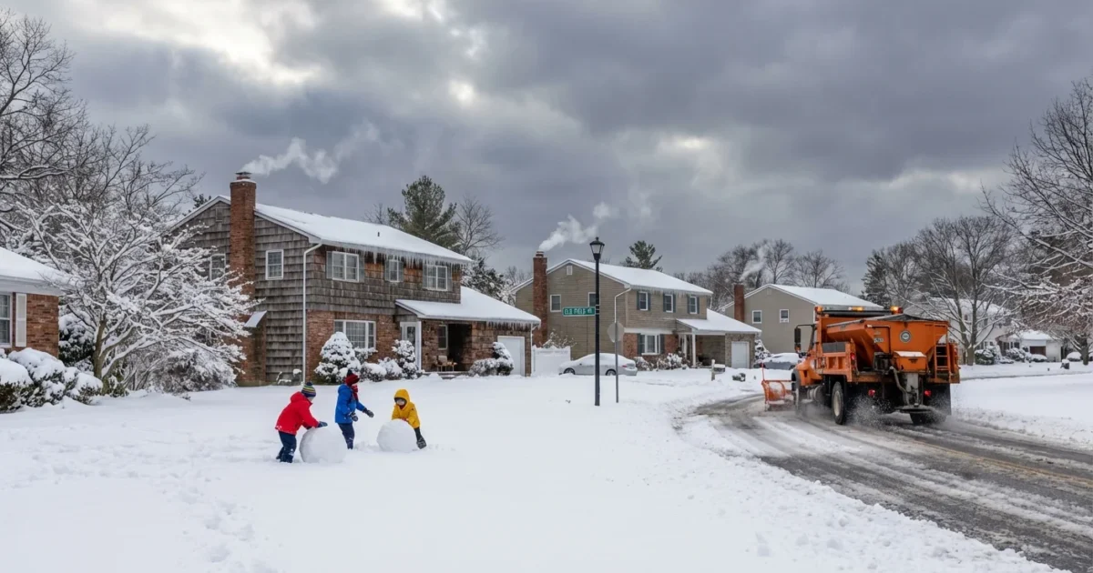
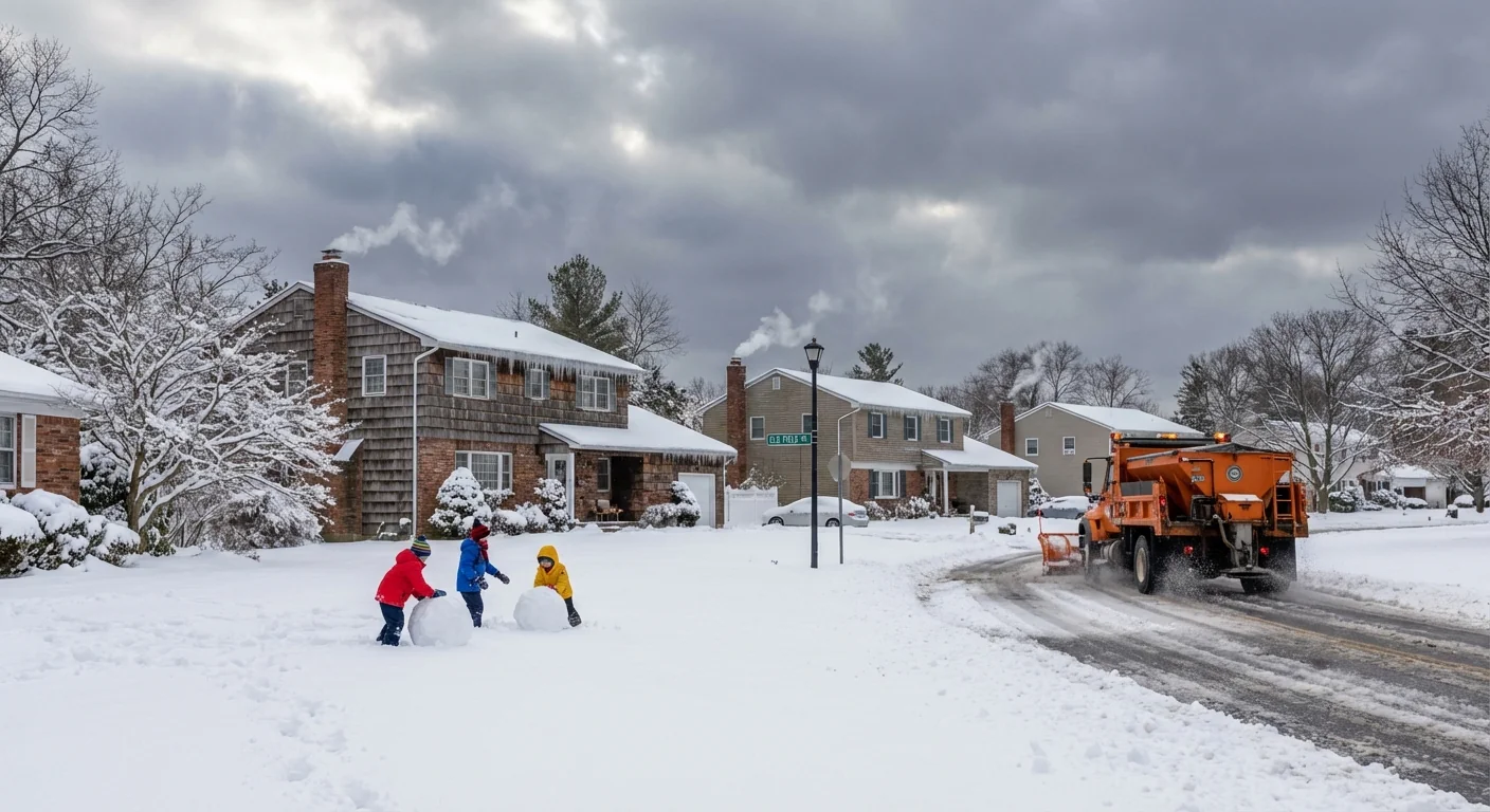
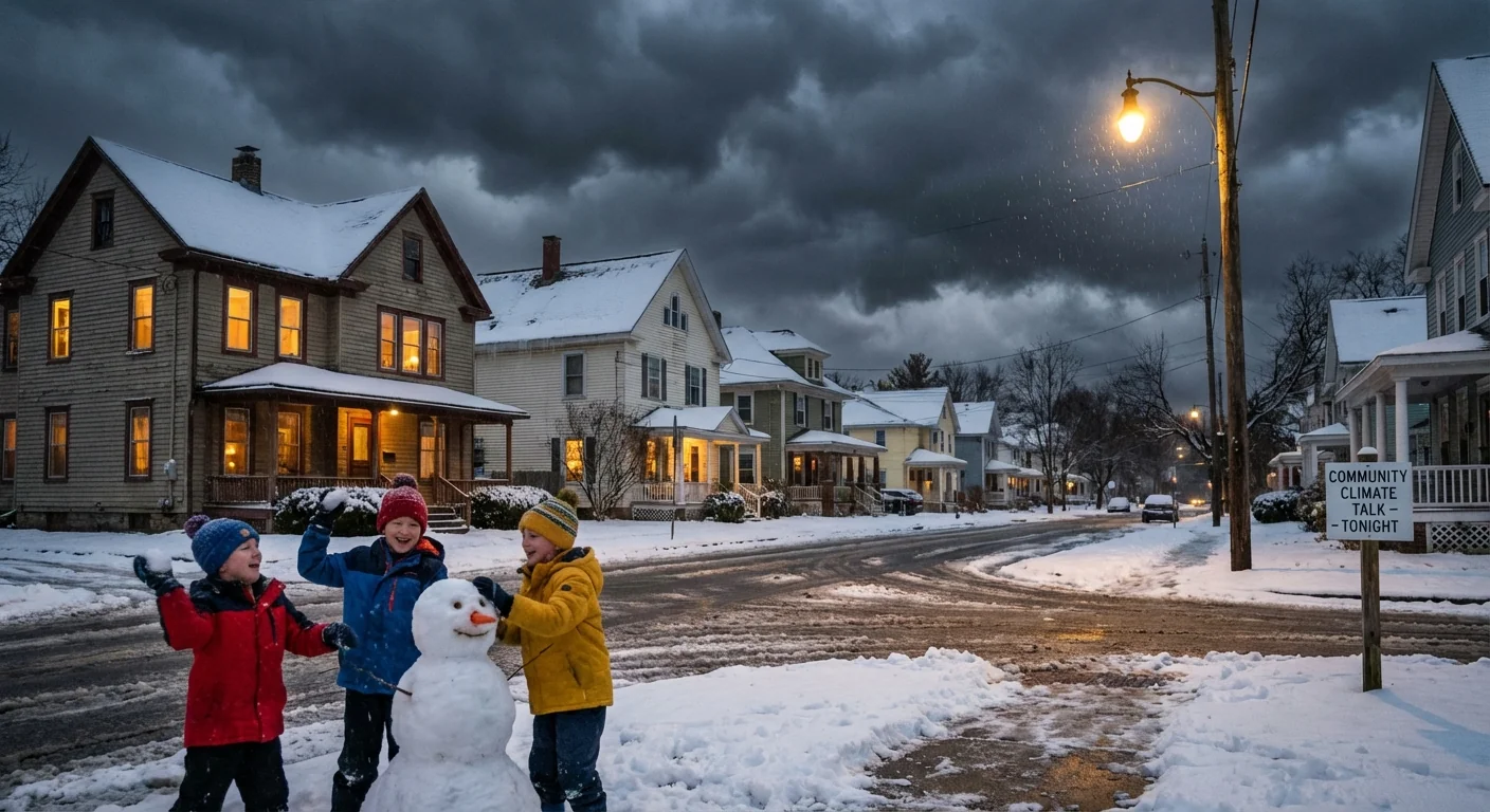
Snow is pounding Long Island tonight, and winter is arriving with authority. Roads are slick. Visibility drops in bursts. The first big snow of the season is here, and it is sticking fast across Nassau and Suffolk. I am tracking it block by block, from Mineola to Montauk, with fresh totals and urgent safety guidance for the night ahead.
In the News 12 Long Island viewing area, the heaviest snow is riding a narrow band that keeps pulsing over the North Shore and central Suffolk. South Shore neighborhoods see a wetter, slushier mix, but colder air is winning inland. Expect sharp differences in just a few miles. That is the nature of a coastal winter storm.
What we are seeing now
Snow is piling up in the higher spots of the North Shore first, where colder air hugs the hills. Central Suffolk has seen steady accumulation through the evening, with plows out and traction poor on untreated surfaces. Nassau sits on the edge of a warmer ocean breeze, so totals are lower near the South Shore, and higher north of the LIE.
Rates spike under the brightest bands. When it snows at one inch an hour, roads turn white between plow passes. That can flip wet roads to ice in minutes. Gusts off the water are 25 to 35 miles per hour in open spots, which can drop visibility to near nothing in squalls.
If you do not need to drive, wait until crews get a pass on your road. Give plows space, and clear home vents so carbon monoxide can escape.
Why this storm is packing a punch
The setup is classic for December, a coastal low pulling Gulf and Atlantic moisture into cold air over land. Sea surface temperatures around Long Island remain warmer than average for mid December. That adds extra water vapor to fuel heavier snow bands. When air is just below freezing, strong snowfall rates can cool the column more, locking in snow instead of rain.
This is what climate science signals for our region. A warming ocean loads storms with more moisture. That means heavier precipitation events in all seasons. In winter, the final call is temperature. If it is cold enough, that extra moisture falls as bigger, wetter snow. If it is a degree or two warmer, it flips to cold rain. Tonight, many neighborhoods sit right on that knife edge.
Impacts and what to do next
Travel is slow on major roads and treacherous on side streets. Expect scattered delays on bus routes and commuter lines as switches and platforms get icy. Wet, heavy snow on leaf-laden branches can stress limbs and power lines, which raises the risk of isolated outages under the fattest bands.
- Keep devices charged, and a flashlight where you can find it
- Shovel in short bursts, push not lift, and take breaks
- Clear storm drains to prevent street ponding during any mix
- Check on older neighbors and anyone who needs assistance
Timing matters tonight. The steadiest snow eases late overnight from west to east. Lingering flurries follow at daybreak, with refreeze likely where slush remains. That early morning glaze is the danger many drivers forget.
Watch for black ice near intersections and bridge decks. Never run a generator or car in a garage, even with the door open. Carbon monoxide is deadly and invisible.
Sustainable snow sense
How we clear snow shapes our bays and drinking water. Salt works fast, but overuse burns lawns, harms paws, and washes into creeks and estuaries. We can keep roads safe and protect our waters at the same time.
- Shovel early and often so you need less salt
- Use brine or sand on walkways, and pick pet safe products
- Aim for three inches between salt grains, not a white carpet
- Pile snow where it can melt into soil, not over storm drains
Every storm is a chance to make better choices at home. It adds up across the Island.


