Breaking: A fresh winter storm is powering across the Great Lakes, then turning toward the Northeast. Heavy snow, strong winds, and areas of ice are lining up through late week. Lake-effect bands will lock in behind the main snow, making travel dangerous into the weekend. I am tracking the setup and its impacts right now.
The Setup and the Clock
A surge of colder air is pouring over the lakes as the storm deepens. Snow expands this evening and spreads through Friday. Wind gusts will strengthen as the front passes, pushing 30 to 45 miles per hour in open areas. That will create blowing and drifting, with sudden whiteouts on exposed roads.
Greatest impacts will form downwind of the lakes. Expect the most intense snow in the usual snow belts near Lake Superior, Lake Michigan, Lake Huron, Lake Erie, and Lake Ontario. Targets include parts of Michigan, Wisconsin, Illinois, Indiana, Ohio, Pennsylvania, and New York. The interior Northeast gets hit next as the storm slides east.
Timing matters. The worst travel windows arrive late Thursday through Saturday, with lake-effect bands pulsing day and night.
Why Lake-Effect Will Spike This Storm
Lake-effect snow needs three things, and this storm has all of them. We have cold air flowing over warmer lake water. We have long fetch, which is wind blowing across long stretches of water. We have wind alignment that focuses narrow snow bands on shore.
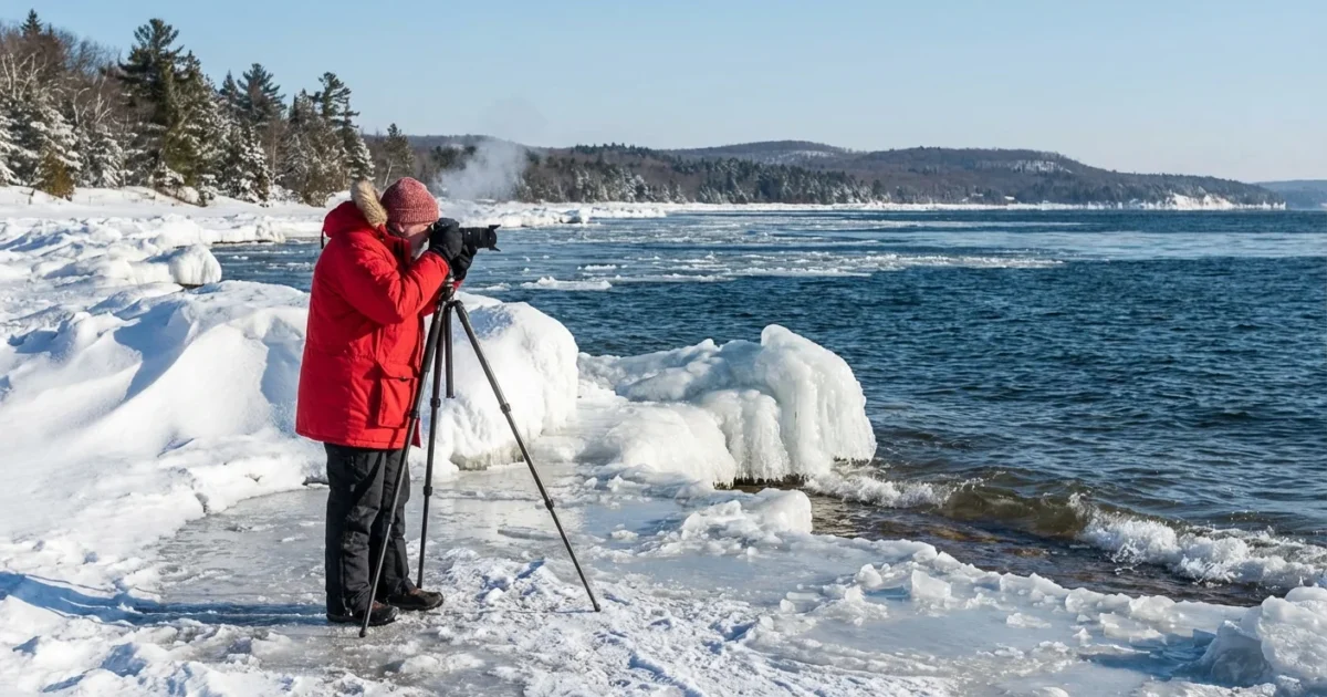
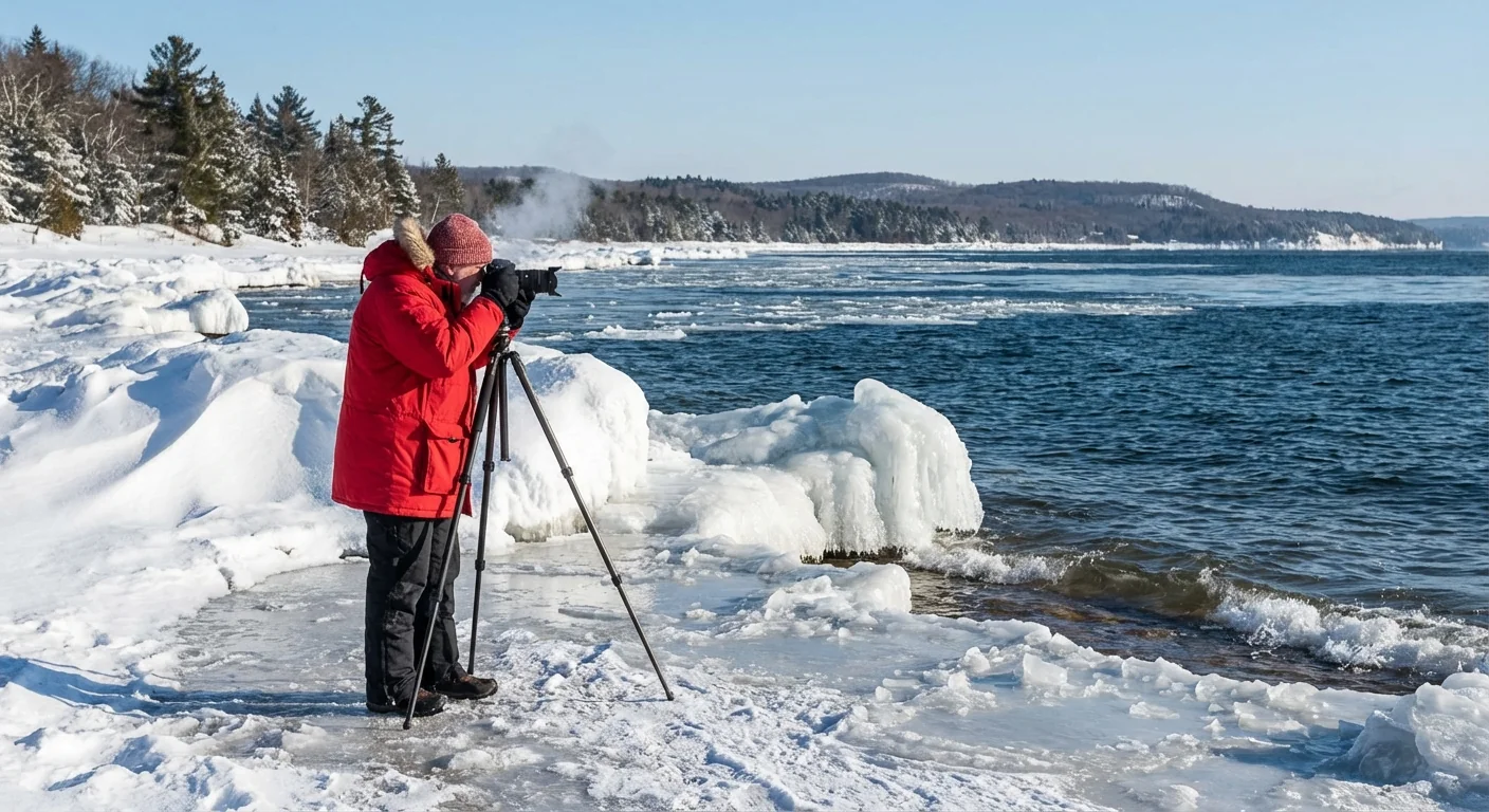
The air over the lakes today is much colder than the water. That big contrast fuels towering clouds and intense snow rates. In the heaviest bands, snow can fall faster than road crews can keep up. Visibility can drop to near zero in seconds, even if the sky looks brighter a few miles away.
Wind Shifts Change Who Gets Hit
As the storm swings by, winds turn from southwest to west and then northwest. That shift will aim bands at different communities. A town can go from flurries to a blizzard-like burst in minutes. If you live downwind of Lake Erie or Lake Ontario, be ready for rapid changes near Buffalo, the Chautauqua Ridge, and the Tug Hill. West Michigan and northern Indiana also face persistent, heavy bands off Lake Michigan.
Travel and Power Risks
Roads will ice quickly where sleet or freezing rain mixes in. That risk is highest near the rain snow line early on. Once winds increase, blowing snow becomes the main issue. Expect tough driving on I 80, I 90, I 94, and I 75. Airport delays are likely in Chicago, Detroit, Cleveland, and Buffalo as snow and crosswinds worsen.
Where heavy, wet snow or glaze meets strong wind, scattered power outages may occur. If you lose power, indoor temps can drop fast in this cold snap. Keep a heat plan and check on neighbors.
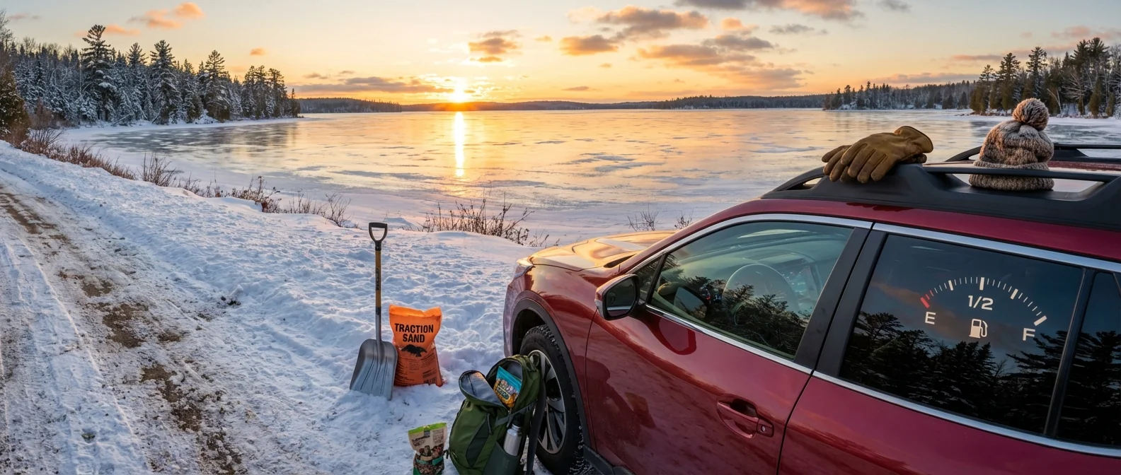
- Keep your gas tank at least half full
- Charge phones and power banks
- Keep a shovel and traction sand in the car
- Have food, water, and meds for 48 hours
Whiteouts can trap drivers. If you cannot see the hood, slow to a crawl, use low beams, and find a safe exit when possible.
Climate Context: Warmer Lakes, Wilder Bands
Ice cover on the Great Lakes has trended lower in recent decades, and lake water is staying open longer into winter. Open water loads the atmosphere with heat and moisture. That can supercharge lake-effect bursts during cold outbreaks like this one. At the same time, a warming climate means fewer deep cold days overall, and more wintry mix events near storms.
This is a preview of winter’s new rhythm in the Great Lakes region. Fewer shutdowns from deep freeze, yet sharper swings when cold air arrives over warm lakes. Communities and travelers must plan for these spikes.
Use salt wisely. Too much road salt washes into streams and the lakes. Shovel early, use a light touch, and add sand for grip.
What To Do Now
Check local alerts and be flexible. Shift trips earlier or later to avoid the peak snow. If you must drive, slow down and leave extra space. Keep your exhaust pipe clear of snow if you idle. At home, clear steps and vents between bands, not after the storm, when ice sets.
- Follow local National Weather Service guidance for timing and totals
- Move vehicles off streets to help plows
- Keep space heaters three feet from anything that burns
- Test carbon monoxide alarms before bedtime
The Bottom Line
This is a two part hit. First, a broad shield of snow. Then, high impact lake-effect that lingers into the weekend. The storm will test roads, power lines, and patience from the Upper Midwest to the interior Northeast. Prepare now, travel smart, and let the bands pass before you go. Winter is not done with the Great Lakes, and the lakes are feeding the fight.