Snow in Hawaii today. The Big Island’s tallest volcanoes woke up white. A Kona Low has spun cold air and deep tropical moisture over the state, and it is dumping snow on the highest ground. Winter Storm Warnings are active for Mauna Kea and Mauna Loa. Beaches are wet and windy. The summits are in full winter.
What is happening on the summits
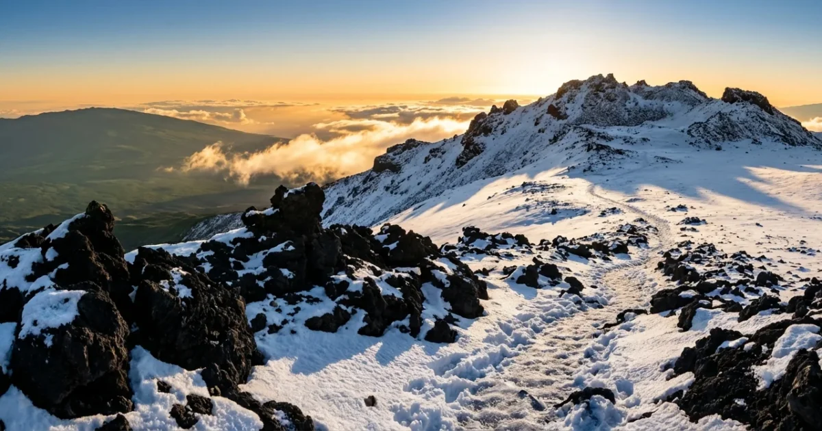
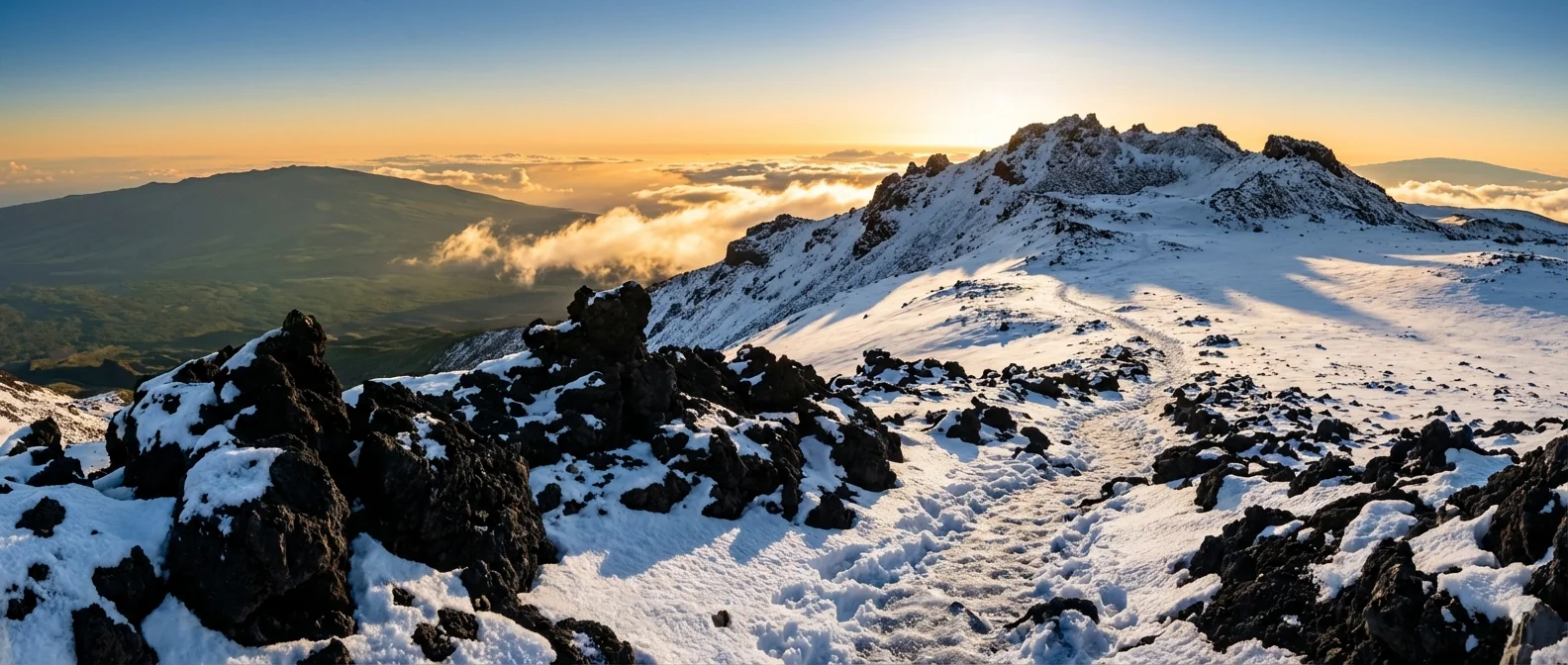
I am tracking steady snowfall above 12,500 feet. Fresh powder coats the cinder cones and observatory roads. Ice is building on exposed gear and signs. Gusty winds are carving drifts along ridgelines. Visibility swings from clear to near whiteout in minutes.
The snow is not at sea level. It is not on your resort lawn. It is confined to the top of the volcanoes, near 13,000 feet. That is a world apart from the coast. Air is thin. Temperatures are below freezing. Tropical sunshine can fade fast behind dense cloud bands.
Road crews may close summit access with little notice. Tires lose traction on rime ice. Doors freeze shut. This is not a sightseeing day, even if the sky looks blue from Hilo or Kona.
Dangerous summit conditions, strong winds, icing, and rapid whiteouts. Do not drive above the visitor stations if gates are closed.
Why a tropical state gets snow
Hawaii reaches far into the sky. Mauna Kea and Mauna Loa lift air from sea level to nearly 4,000 meters. As air rises, it cools. That drop in temperature with height is enough to turn moisture into snow at the top, even while rain falls on the coast.
The Kona Low setup
Kona Lows are slow moving storms that sit southwest of the islands. They pull in deep moisture from the south. They also tap colder air aloft. The normal trade winds weaken or flip. Bands of heavy rain wrap into the state. If the freezing level drops below the summits, the highest clouds release snow, not rain.
The high elevation microclimate
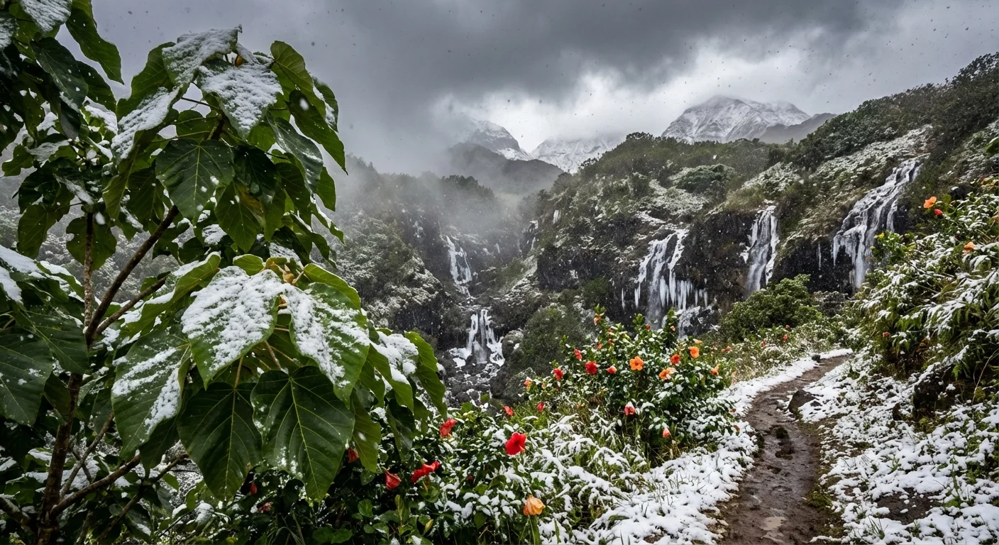
The summit climate is a cold alpine desert. Nights are long and clear. Daytime heating can be strong, then a cloud deck builds and temperatures fall. When a Kona Low crosses the line, ice forms fast on lava rock. Snow can stick, blow, then melt as sunlight returns. The cycle is quick, but it can be intense.
Impacts beyond the snow line
Most people feel this storm as wind and rain. Roads at low to mid elevations pick up ponding and debris. Short, heavy bursts trigger rockfall on steep slopes. Coastal areas face rough surf and strong onshore flow. Streams rise quickly where bands stall.
If you live near gulches or on recent burn scars, stay alert. Saturated slopes can fail with little warning. Power flickers are possible as gusts hit lines and trees. Rain that falls on dry, hard ground runs off fast, so urban flash flooding can happen in minutes.
Heavy rain in Kona Low events can do more damage than the snow. Do not drive through flooded crossings. Turn around, do not risk it.
Climate context, what this storm tells us
Snow in Hawaii is not new. The Big Island sees summit snow in some winters. What is changing is the background. Warmer oceans feed more moisture into Kona Lows. That can increase rainfall rates. At the same time, a warmer atmosphere raises the average freezing level. That can shorten the window for snow at the summits, but it can also make individual events burstier. When cold air and deep moisture overlap, snowfall can be sharp and fast, while downpours pound the coast.
These swings stress a fragile alpine ecosystem. The summit desert has thin soils and rare plants. Tire ruts and foot traffic can scar it for years. Down below, heavier rain pushes sediment into reefs. That clouds the water and weakens coral, which already fights marine heat waves. Storm planning is climate planning. Drainage, slope stability, and reef buffers matter on days like this.
What to do next
Stay weather wise today and tonight. If you do not need to be on the road, wait for bands to pass. If you plan to head uphill, stop at the visitor stations and check the latest postings. Respect closures. Pack layers and water. Leave no trace.
- Monitor NWS Honolulu updates for wind, surf, and flood alerts
- Check county road and summit access pages before any drive
- Keep phones charged and carry a car kit, light, first aid, warm layer
- Avoid stream crossings, watch for debris on dark, wet roads
- Give reefs a break, let storm runoff clear before ocean swims
Take photos from a distance. Use pullouts, not shoulders. The best view is the safe one.
The bottom line
Hawaii can hold snow and surf on the same day. Today proves it. A Kona Low has painted Mauna Kea and Mauna Loa white, while rain and wind work the coast. Celebrate the view, but respect the risk. The islands thrive when we travel smart, protect sensitive ground, and plan for a warmer, wetter future. ❄️🌋


