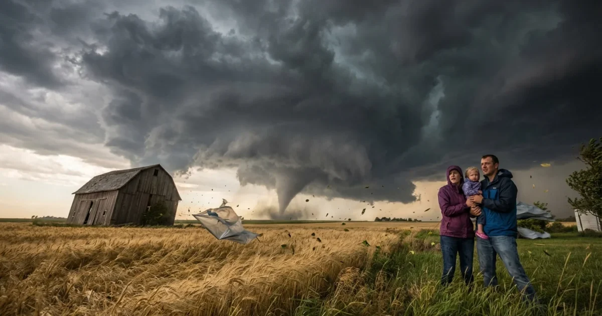
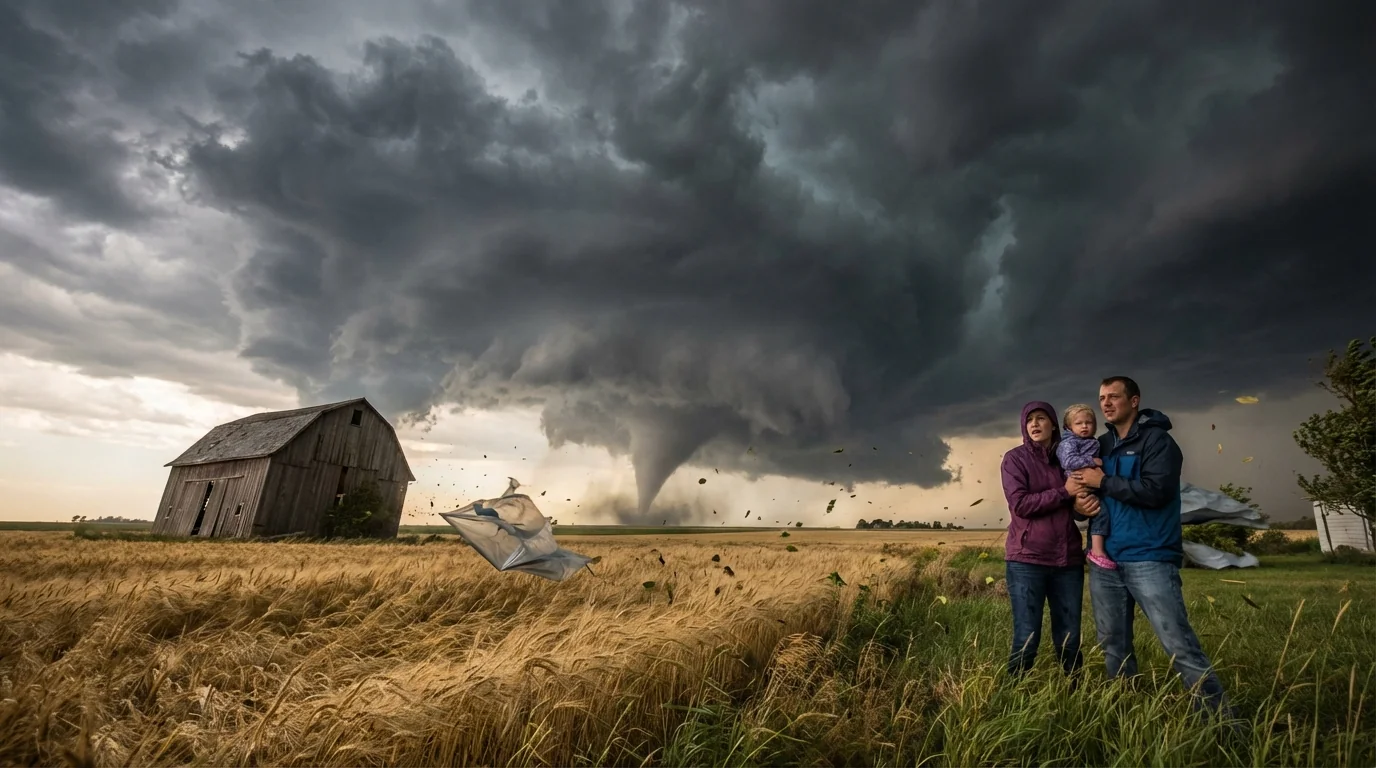
Breaking now: powerful winds are sweeping across the Kansas City metro as temperatures fall and clouds stack up. The air is unstable. The wind is loud. This setup can change fast. 🌪️
Wind advisory in effect, but not a tornado warning
I am tracking a tight pressure gradient racing in behind a cold front. Gusts are pushing into the 40 to 50 mile per hour range in spots. That is enough to bring down small branches and toss unsecured items. Power flickers are possible. Travel on north and west roads will be tricky for high profile vehicles.
A wind advisory is active for Kansas City. That signals strong, potentially damaging gusts. It does not mean a tornado is forming. It does tell us the atmosphere is energized. When the wind roars at the surface, turbulence can easily grow inside passing showers.
A wind advisory is not a tornado warning. A warning means a tornado is happening or imminent. A watch means conditions are favorable. Treat each alert differently, and act fast if a warning is issued. ⚠️
Advisory, watch, warning: what each alert means
Here is how to read the alerts during a day like today. A wind advisory covers widespread strong gusts that can break limbs, scatter debris, and down lines. Visibility can drop in blowing dust. Driving becomes hazardous on open stretches.
A tornado watch means the ingredients for tornadoes are coming together. Think warm, moist air near the ground, colder air above, and strong wind shear. You should be near your safe place and ready to move.
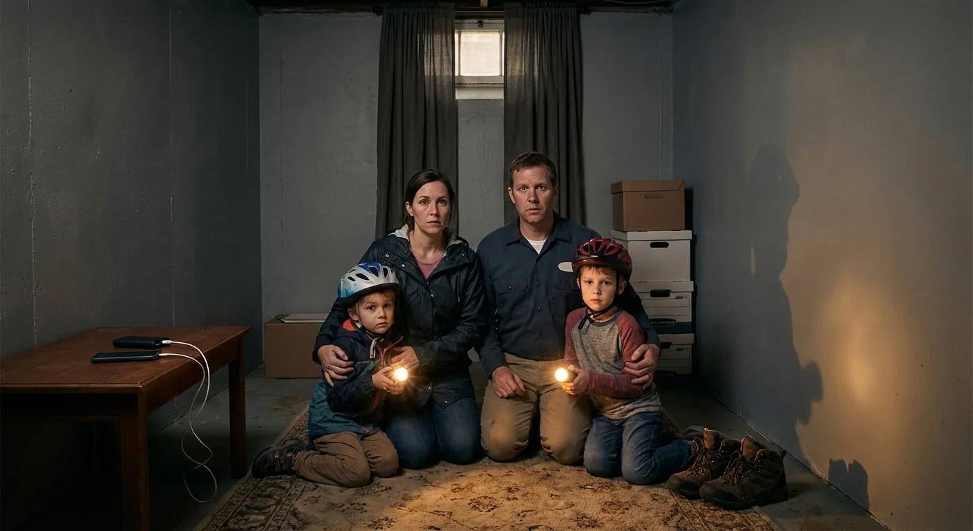
A tornado warning is the urgent one. The National Weather Service issues it when a tornado is spotted or radar shows tight rotation. Sirens may sound. You move to shelter right away.
- If a tornado warning is issued, go to the lowest level, interior room, away from windows.
- Put on shoes, grab helmets if available, and cover your head.
- Bring your phone, charger, and a flashlight.
- Do not try to outrun a tornado in a car if you are close. Get to sturdy shelter fast.
Why the winds are roaring today
This burst of wind is tied to a sharp temperature drop behind a cold front. Dense, colder air is rushing in, and the jet stream above is strong. Daytime mixing pulls that higher momentum down to the ground. The result is a classic Plains wind event, with quick hitting gusts and a raw feel outside.
The bigger climate story is this. Warmer surface temperatures feed the atmosphere with more moisture and energy. That can boost the fuel for severe storms in spring and fall. Scientists see more days with extreme rainfall and strong instability in parts of the central United States. The link to tornado counts is complex, and year to year swings are large. But the environments that support severe storms are showing shifts, and wind driven damage is a growing part of that risk.
What to do right now
Move early and reduce your exposure. Secure trash bins, lawn furniture, grills, and holiday displays. Charge devices and keep weather alerts on loud. Avoid parking under large trees. If you must drive, watch for crosswinds on bridges and open highways. Check on neighbors who may need help.
- Review your safe room location and who goes where.
- Put helmets and hard sole shoes within reach.
- Keep pets leashed and ready to move with you.
- Place a battery radio and extra power bank in your kit.
Text, do not call, during and after a storm. Texting uses less bandwidth and keeps lines open for emergencies.
Building resilience, one windy day at a time
Today’s gusts are a reminder to harden our homes and neighborhoods. Trim trees with a certified arborist to reduce limb failures. Choose native, wind tolerant species when planting. Anchor sheds and solar arrays against uplift. Ask your utility about grid hardening and undergrounding in high risk corridors. Schools, warehouses, and mobile home communities should plan and drill for safe room access. Fewer outages cut the need for diesel generators, which lowers pollution during emergencies.
City planners can also use green design to slow wind near streets, and expand cool roofs and insulation to stabilize indoor temperatures when power blinks. All of this reduces recovery time after a storm, and it lowers long term costs.
Bottom line
Kansas City is under a wind advisory, and the air is primed for quick changes. There is no tornado warning at this moment, but the setup demands attention. Know the difference between an advisory, a watch, and a warning. Act early, secure what can fly, and keep your shelter plan simple and ready. Stay weather aware. This burst of wind will pass, but our work to build resilience continues.


