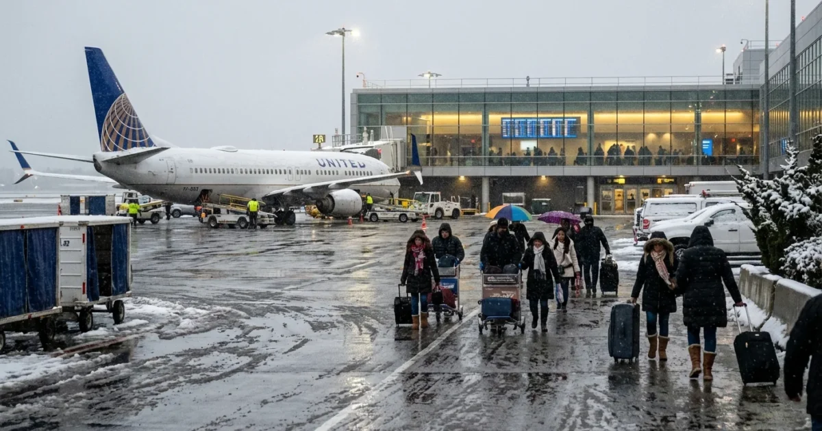
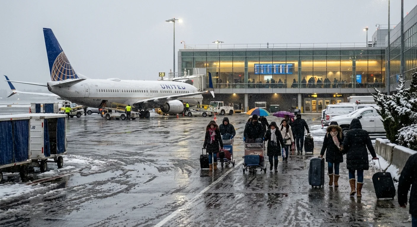
Heavy snow, biting wind, and fast-dropping visibility are now slowing operations at JFK Airport. I am watching the storm cell build along the coast. Runways are open, but traffic is moving at a crawl. Arrivals are being spaced out for safety. Departures are waiting for de-icing and better winds. This is a tough hit to post-holiday travel. ✈️❄️
Storm Slows JFK Operations
The core of the storm is sliding up the Northeast corridor. Cold air is locked in near the surface. Warmer, wetter air is riding over it. That setup is a classic recipe for heavy snow and bursts of sleet. It also invites low clouds and sudden drops in visibility.
At JFK, crosswinds and icy runway surfaces are the big constraints right now. De-icing crews are working nonstop, but glycol application takes time. The Federal Aviation Administration has slowed the arrival rate to keep spacing safe. Expect longer taxi times, gate holds, and last-minute equipment swaps.
I am also seeing ground transport strain around the airport. Roads near the Van Wyck and Belt Parkway are slick. Light snow turned to a heavy, wet mix in spots, which reduces traction and clogs drains.
Give yourself extra time, both on the road and in the terminal. Ice, wind gusts, and low visibility can change plans within minutes.
What Travelers Should Do Now
If you are flying today, act early. Keep control of your options before the gate agent calls your zone.
- Rebook proactively if your flight shows a long delay. Choose a morning departure tomorrow, when crews reset and winds ease.
- Use your airline’s waiver. Most carriers allow free changes during major storms. Move to a safer window without penalty.
- Check JFK’s status page and the FAA delay map. Confirm your flight and your terminal before you leave home.
- Pack for a wait. Bring charging cables, medicine, snacks, and a warm layer. De-icing can add hours.
If your flight is canceled, search alternate airports. Newark, LaGuardia, Boston, Philadelphia, and even Hartford can reopen at different times. Book the first flight of the day to improve your odds.
Why This Storm Packs Extra Punch
This system is moisture rich. The Atlantic is warmer than average for late December, which adds fuel to coastal storms. Warm water puts more vapor into the air. When that vapor meets cold air over land, snowfall rates can spike fast.
The rain and snow line is wobbling, which is common in a warming climate. A shift of a few miles can change totals sharply. Wet, heavy snow sticks to lights and antennas, which hurts visibility and slows runway clearing. Gusts near 35 to 45 miles per hour are possible along the coast. Blowing snow can hide ice patches and reduce braking action.
These storms are also a stress test for airport sustainability. JFK has expanded glycol recovery to keep de-icing fluid out of Jamaica Bay. Electric ground vehicles and gate power reduce emissions while jets sit at stands. That cuts fuel burn during long delays, which helps air quality for nearby communities.
On the Ground and In the Air
Expect de-icing backlogs, especially for wide-body aircraft. Each spray cycle needs strict checks to protect critical surfaces. If snow intensifies after treatment, crews must repeat the process. That is why some planes push back, then return to the gate.
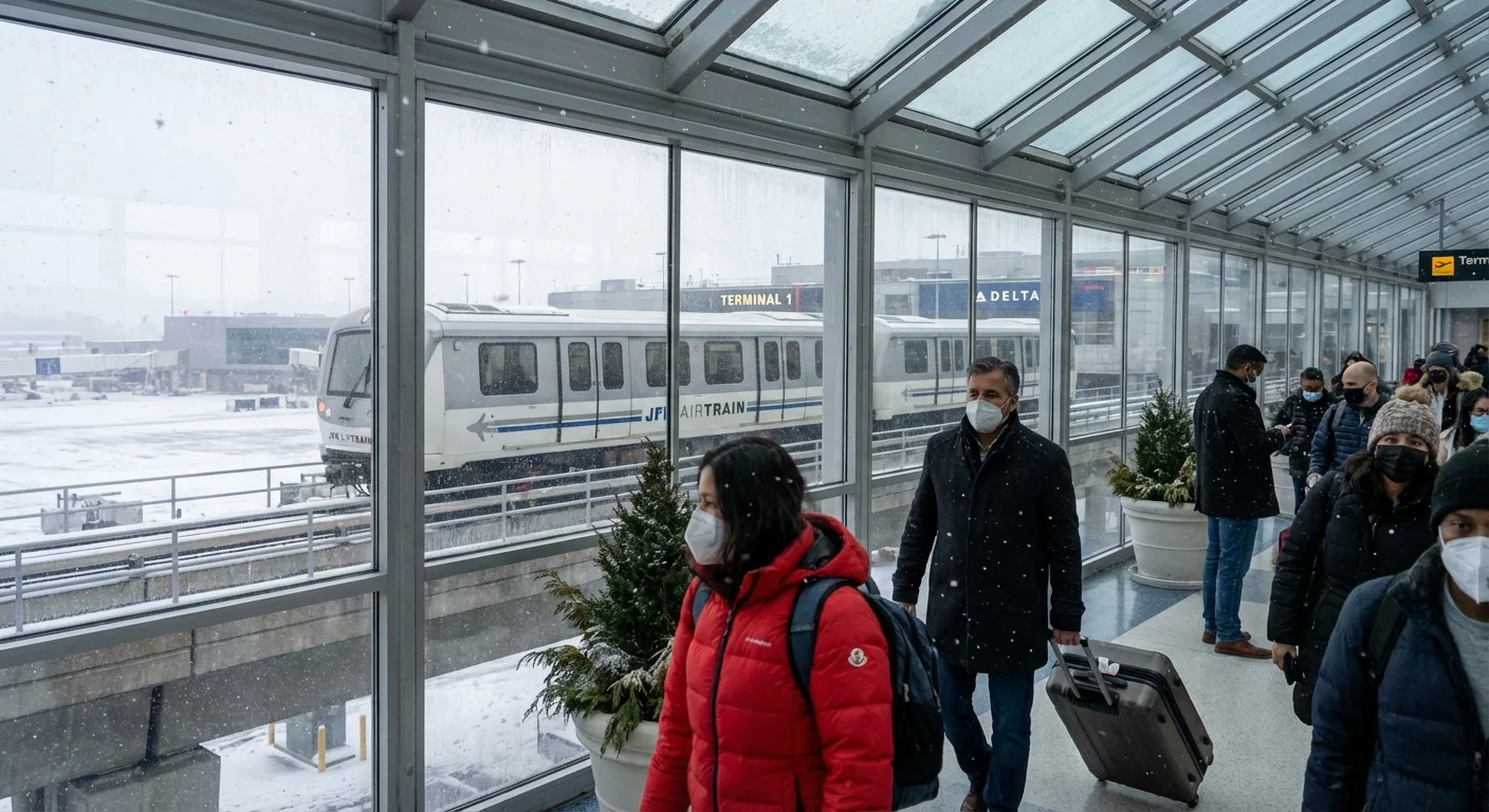
Inside the terminal, lines will grow through the afternoon. Security checkpoints will pulse as flights bunch into small weather windows. Concessions may close early if staff cannot reach the airport on icy roads. Trains and buses are operating, but schedules can slip when switches freeze.
If you must travel, choose rail to Jamaica Station, then the AirTrain. That route is often steadier than highway traffic during heavy snow. Save your boarding pass to your wallet app to speed up reentry if you leave the gate area to regroup.
Timing and Impacts
The heaviest banding is likely from midafternoon into late evening. Expect periods of one inch per hour snow rates north of the field. Along the coast, a wet mix may cut totals but increases icing risk. Winds relax late tonight. Crews should make solid progress on plowing and de-ice stocks before dawn.
Looking Ahead
I expect airlines to run recovery schedules tomorrow. Early flights, with fresh crews and cleaner ramps, will be your best bet. Some aircraft and crews are out of position, so scattered cancellations will linger into the morning. Cargo runs may shift overnight to ease pressure on passenger banks.
Big picture, this is our new normal for winter on a warming coast. Fewer cold days overall, but bigger moisture feeds when storms form. That means sharper swings, from rain to heavy snow, with high-impact travel days at our largest hubs. JFK is built for all-weather flying, and resilience work is ongoing, but today’s storm shows how thin the margin can be.
Stay flexible. Move fast when a rebooking window opens. And travel with patience, for yourself and the crews working the ramps in the cold. I will keep tracking the bands and updates from the field, and I will post the next advisory as conditions evolve.


