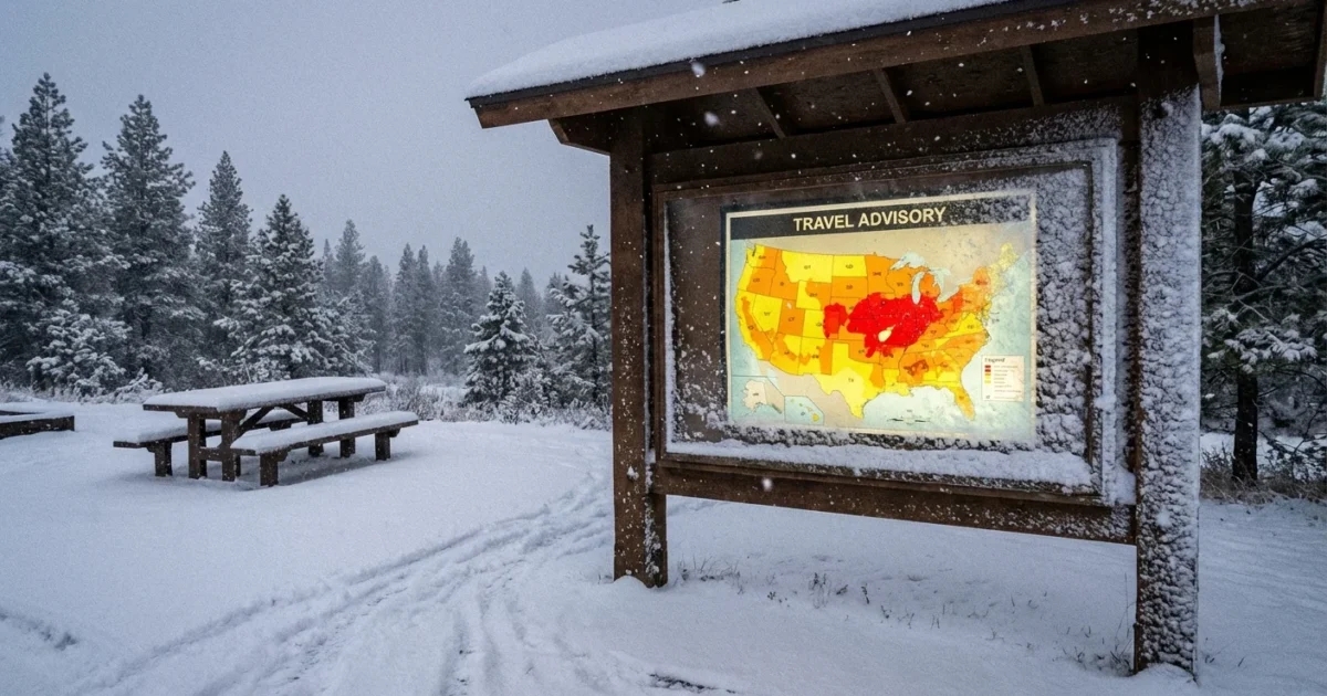
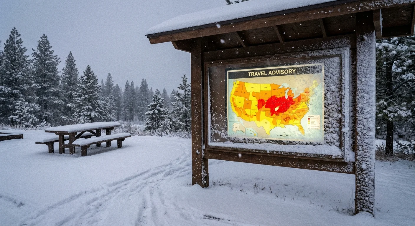
BREAKING: Travel advisory map lights up as blizzard conditions slam the Midwest
A dangerous winter storm is tearing across the region today, and the travel advisory map tells the story in bold color. Indiana is under a statewide disaster declaration. A federal emergency is active to move crews, gear, and aid. Heavy snow, a hard glaze of ice, and strong winds are making travel risky to impossible in spots. If you must move, the map is your first check. If you can wait, stay put. ❄️
What the travel advisory map shows right now
County by county, the map shows rising restrictions as the storm deepens. Many counties are at Watch or Warning status this hour. Plow crews report whiteouts on open stretches. Ice is building on bridges and overpasses. Blowing snow is filling lanes that were cleared just minutes before. Several highways have closures or rolling blockages where crashes occurred.
I am tracking rapid changes on the ground. Conditions may shift two levels in less than an hour as bands pivot and winds gust. Expect drifting to seal side roads and rural routes. Urban streets may hold longer, then fail as snowfall rates spike.
How to read the map in a hurry
The map uses three plain signals. Know them before you leave the driveway.
- Advisory, use caution. Roads are slick, visibility may drop fast.
- Watch, essential travel only. Medical, work that cannot wait, and supply runs for safety.
- Warning, restricted to emergency responders. Do not travel. You may be stopped.
Check the state DOT or 511 site, your county emergency page, and your local news app before you travel. Refresh often. Conditions can change between intersections.
Why this storm turned severe so fast
A deep pocket of Arctic air slid south overnight. It met a plume of Gulf moisture and a sharp jet streak above us. That mix produced heavy, wet snow, then a layer of sleet and ice, then more snow on top. Winds stack snow into hard drifts and rip new powder off fields. That is why roads that look passable from your window can vanish five miles away.
This storm also reflects a broader climate signal. A warmer atmosphere holds more water, which can feed heavier snowfall when air is below freezing. Great Lakes surface waters have stayed warmer later into fall in recent years. That adds fuel for intense lake effect bands when polar air arrives. Ice storms are more likely during wild swings around freezing, which are becoming more common as the jet stream meanders.
Whiteouts erase lane lines and tail lights. Ice glaze makes bridges act like glass. Do not use cruise control. If you cannot see the road edge, pull off at a safe exit.
What the disaster and emergency declarations change
The statewide disaster unlocks money, equipment, and staffing. The federal emergency brings extra support, from generators to fuel to Guard assets. It helps keep plow routes staffed through the night and clears supply chains for hospitals and shelters.
These orders do not set your local travel status. County leaders do. Sheriff offices and emergency managers set Advisory, Watch, or Warning based on live conditions. If your county is at Warning, you should be off the roads unless you are responding to an emergency. Law enforcement can close roads and redirect drivers to protect life and property.
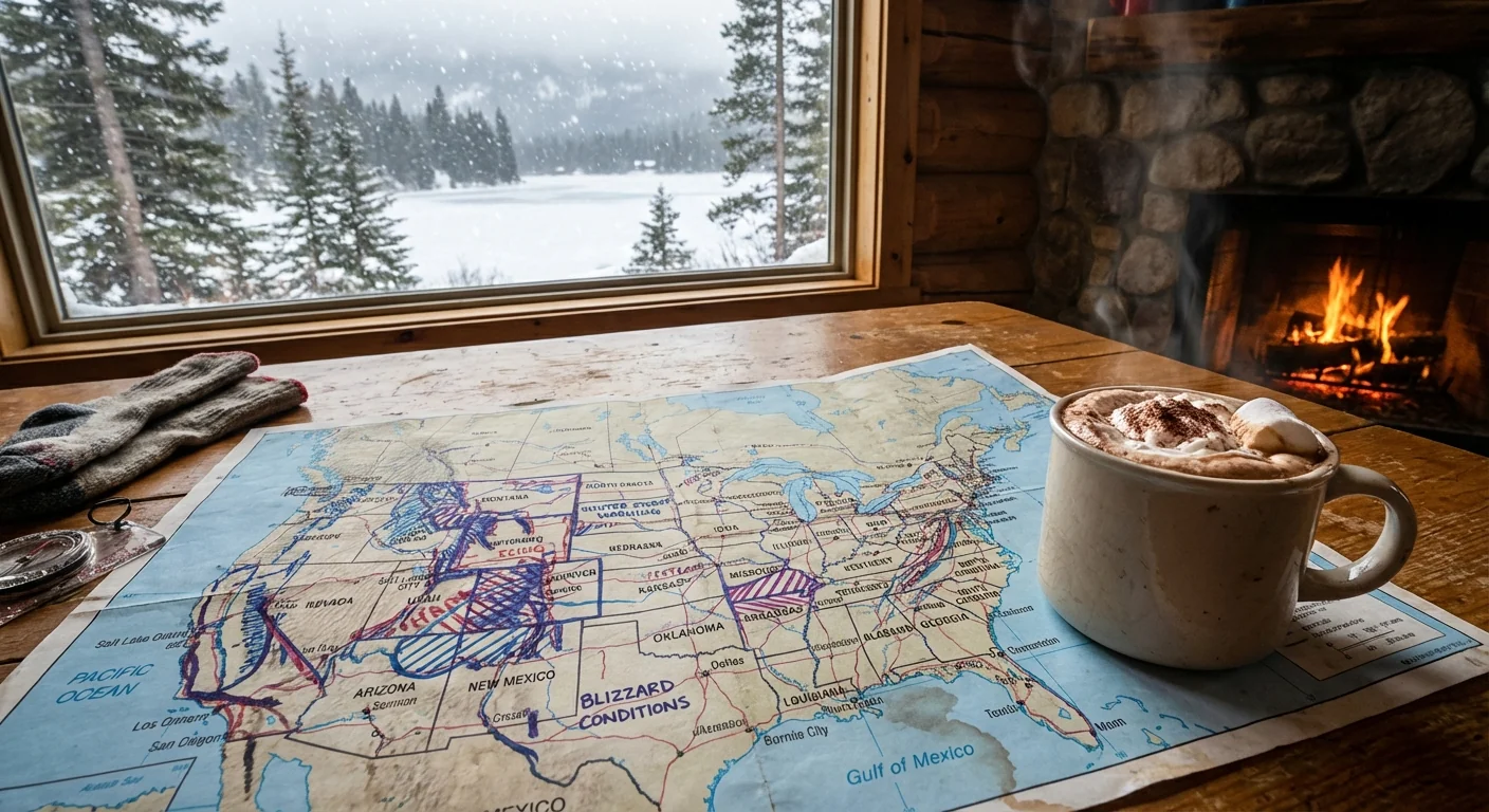
If travel is unavoidable, plan like a pro
Treat your trip like a winter expedition. Pack for delays. Assume help may take time to reach you.
- Carry a winter kit, warm layers, water, snacks, phone charger, shovel, scraper, sand or cat litter, flashlight.
- Top off fuel, or charge to at least 60 percent for EVs, to handle detours and heat needs.
- Tell someone your route and ETA. Stick to main roads where plows run more often.
- Slow down, increase space, and give plows a wide berth. Never pass a plow on the right.
- If you become stuck, clear snow from the tailpipe, run the engine in short cycles, and keep a window cracked.
Staying off the road when your county is at Watch or Warning does more than protect you. It lowers crash risk, cuts wasted fuel from idling traffic, and gives plows room to work, a win for safety and air quality.
The bottom line
The travel advisory map is your lifeline today. Colors and labels tell you when to wait, when to go, and when to stop. This storm will ease, but the pattern behind it is not going away. More moisture in the air means sharper swings and heavier bursts. Use the map, respect the warnings, and make choices that protect your family and your community. Roads can be repaired. Lives cannot. Stay smart, stay warm, and check again before you turn the key. 🚧


