Indiana declares state of emergency as heavy snow slams the state
Indiana is under a statewide disaster emergency tonight as a powerful winter storm dumps heavy snow and chokes travel. I am tracking rapid accumulations, sharp drops in visibility, and strong gusts that will push drifts across highways and city streets. This is a fast moving, high impact event. Travel will be difficult and in some areas dangerous. ❄️
What the emergency declaration means for you
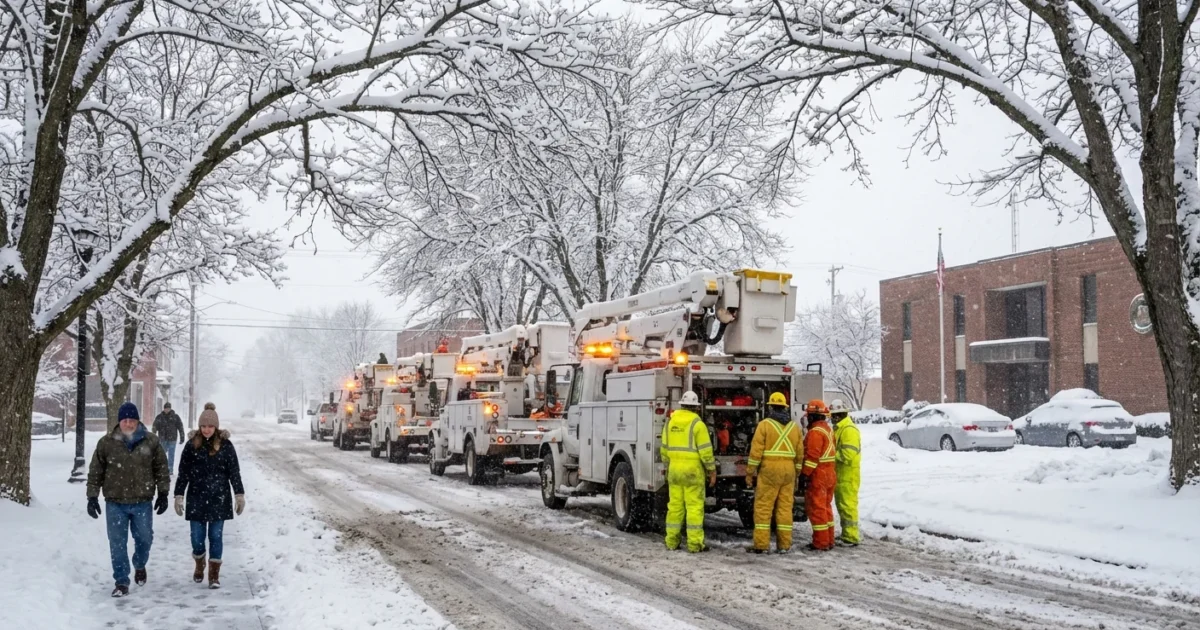
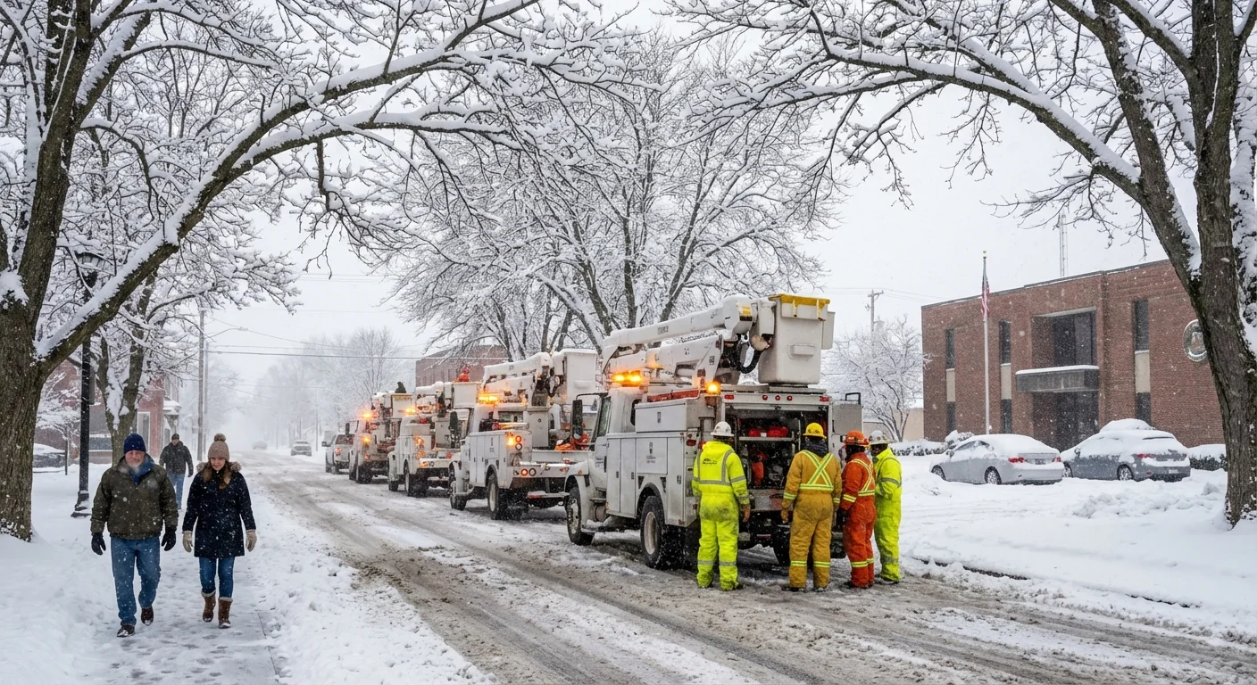
The declaration unlocks tools to keep people safe and services running. It streamlines how the state moves crews, salt, and equipment. It also clears the way for faster help to counties that need it most.
- State agencies can coordinate resources, including plows and utility crews
- Mutual aid can shift across county lines without delay
- Emergency shelters and warming centers can be expanded
- Road and commercial rules can be adjusted for safety and response
Expect local governments to adjust operations through Monday. Some offices and services may scale back in the hardest hit areas. Utility repair crews are staging for potential outages, especially where snow is wet and heavy.
Storm timing and who gets hit hardest
Snow is falling across much of Indiana through Sunday, with the heaviest rates from midday into late evening. Central Indiana sits under the strongest snow band, including the Indianapolis metro. Totals near Indianapolis can approach 10 inches, with localized higher spots where bands stall. Winds will gust 25 to 35 miles per hour. Blowing and drifting will reduce visibility on open stretches.
North of US 30, colder air is locked in. That favors powdery snow and more drifting. Lake effect bands will add extra accumulation near the Michigan line tonight and early Monday. Isolated totals could top 10 inches in those narrow bands. South of Bloomington and Columbus, a slightly warmer layer aloft may mix sleet at times. That will cut totals a bit in the far south, but slushy roads will still be slick.
The storm weakens late tonight. Light snow and flurries linger into Monday morning, along with refreeze on untreated roads. Plan for a slow start to the day.
Travel, roads, and service impacts
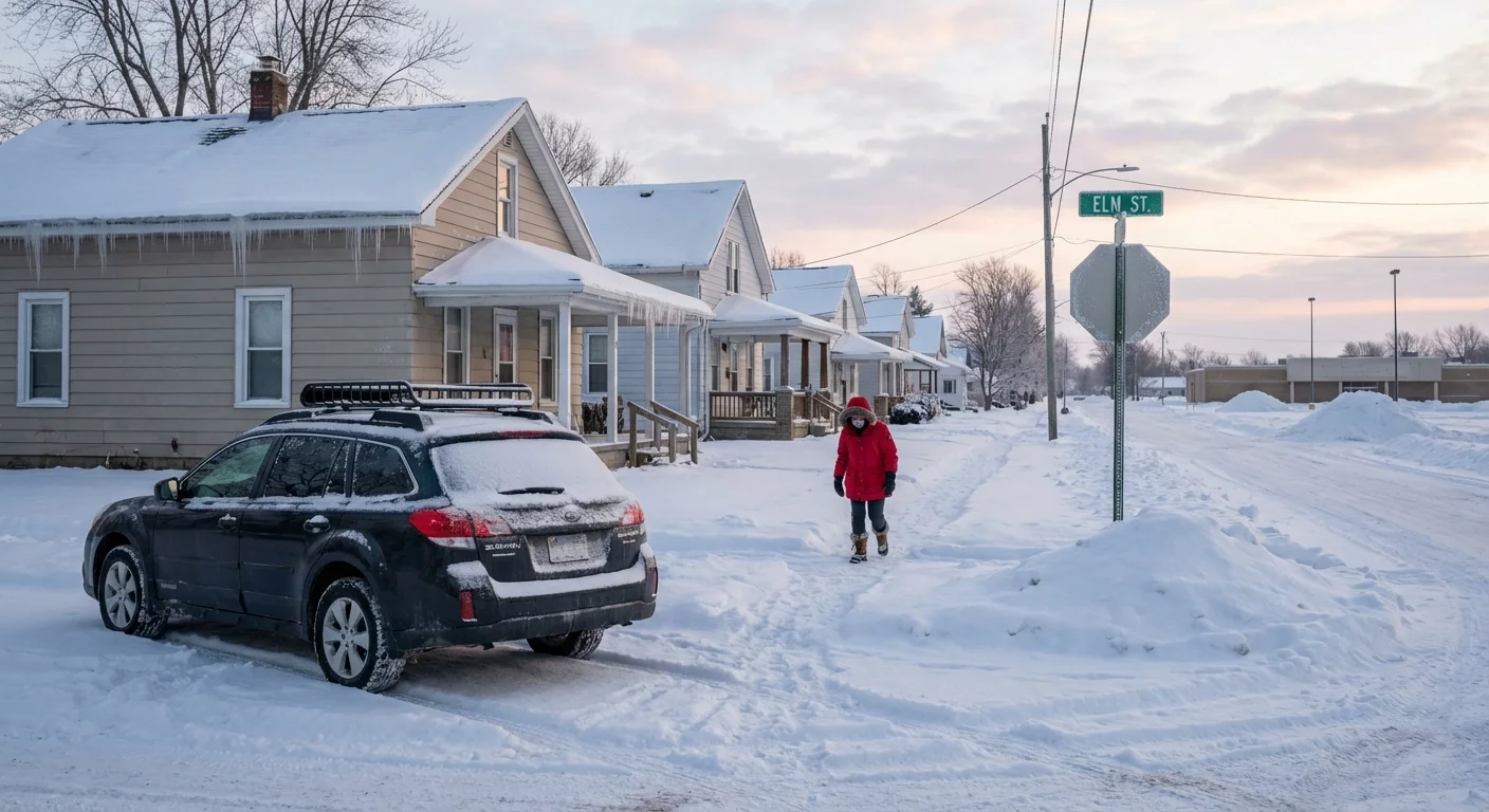
Road crews are in a race against rates that may hit 1 to 2 inches per hour during peak bursts. Salt is less effective when pavement temperatures drop into the teens. Drifts will re-cover freshly plowed lanes, especially in open country. Give plows room to work and avoid passing them.
Indiana uses a county travel status system. Advisory, Watch, and Warning levels signal increasing limits on nonessential travel. Check your county emergency management updates before you head out. If you must drive, keep your tank at least half full. Carry a shovel, sand or kitty litter for traction, and warm layers.
If you slide off the road in low visibility, stay with your vehicle. A stopped car is shelter and is easier for responders to find.
Power outages are possible where snow clings to trees and lines. Report outages to your utility, not 911, unless there is an immediate hazard. Keep phones charged and conserve battery.
Why heavy snow still happens in a warming climate
A warming atmosphere can hold more moisture. When Arctic air sinks south and overlaps that moisture, snowfall rates can spike. That is what we are seeing today. Cold enough air for snow is present, and there is plenty of water vapor feeding the storm. The result is intense bursts, quick totals, and rapid road impacts.
Indiana’s winters are trending milder over decades, with more freeze and thaw swings. Those swings can mean slushy, heavy snow in one storm and powder in the next. They also stress road surfaces and add potholes, which complicate plowing. Planning for these swings matters, from equipment choices to salt use and storage.
Practical, sustainable storm prep
You can stay safe and reduce the storm’s footprint at the same time. Start with heat, light, and communication, then think about snow and ice management.
- Shovel early and often to avoid heavy lifts that can strain your back
- Use salt sparingly, and switch to sand on very cold nights to cut runoff
- Clear storm drains and hydrants near your home to reduce flooding during melt
- Check on older neighbors and those with limited mobility
Build a simple 24 hour kit. Include water, snacks, meds, a flashlight, spare phone battery, and a blanket. Keep one kit in your car.
If you heat with gas, clear snow from furnace and dryer vents to prevent carbon monoxide buildup. Keep generators outside and away from windows. If you feel dizzy or nauseous, get fresh air and call for help.
The bottom line
Indiana is under a disaster emergency as heavy snow and strong winds strike. Central counties, including Indianapolis, face the highest totals near 10 inches. Northern counties will see drifting and lake effect, with slick roads lasting into Monday. Limit travel, help crews do their jobs, and take care of one another. The faster we reduce risk tonight, the faster the state can dig out tomorrow.


