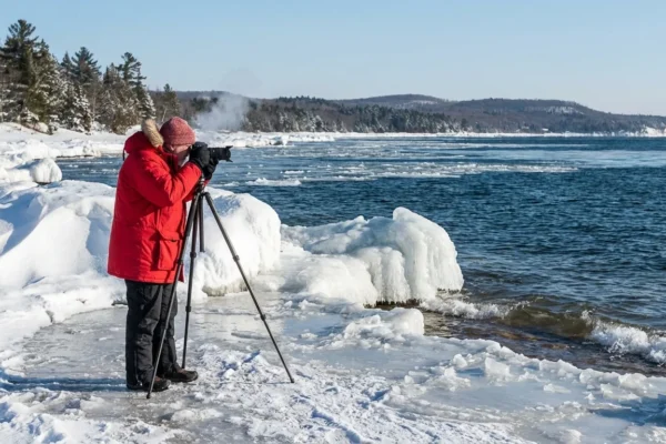
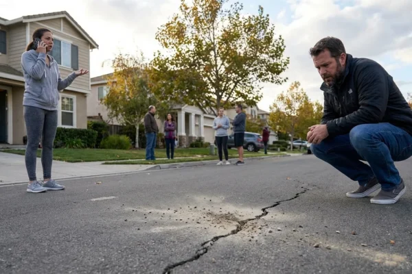
The nation is locking in for a dangerous winter blast tonight. I am tracking Winter Storm Fern as it sweeps from Texas to the Northeast, then into Atlantic Canada. This sprawling system is more than 2,000 miles wide. It is dropping heavy snow, laying down thick ice, and pulling Arctic air straight into cities and farms alike. At least 14 states and Washington, D.C., are under emergency orders. More than 1,300 flights are already canceled. Campus doors are closing. Roads are failing fast.
What is happening now
Fern is a multi-threat storm. It brings heavy snow to the Ohio Valley and Northeast, significant icing to the Mid Atlantic and the Carolinas, and bitter cold across the Plains. Double digit totals are likely from the lower Great Lakes to interior New England. D.C. is bracing for 5 to 9 inches of snow, 1 to 3 inches of sleet, and more than a quarter inch of ice. Wind chills near minus 10 degrees will follow.
Travel is breaking down across hubs in the Midwest and the East. Airlines are preemptively canceling and delaying routes through the weekend. University closures are stacking up, including in Michigan, with cold safety plans active on several campuses in the South. In Houston, school districts are canceling events ahead of freezing rain. Central North Carolina faces a major icing setup. Parts of Oklahoma are locked into subfreezing air with a snow and ice glaze.
Grid managers are in readiness mode. Utilities are staging crews for ice damage and line gallop. The risk is highest where ice reaches one quarter inch or more and winds top 25 miles per hour.
[IMAGE_1]
Ice is the most dangerous part of this storm. It snaps trees, drops lines, and turns roads into sheet glass. If you must drive, go slow, leave distance, and watch for black ice on bridges.
Region by region, through Monday
Southern Plains and Texas
Light to moderate wintry mix moves east tonight. Icy spots will linger on overpasses from Dallas to eastern Texas. Power lines could glaze, but the bigger story is the cold. Wind chills fall into the teens and single digits.
Lower Mississippi and Tennessee Valley
A band of sleet and freezing rain tracks from Arkansas into western Tennessee. Travel will be slick. Isolated outages are possible where ice loads build on trees.
Ohio Valley and Great Lakes
This is the snow core. Expect widespread 8 to 14 inches from Indiana into Ohio and western Pennsylvania. Lakeshore areas will see waves of heavier bursts. Winds increase Sunday, cutting visibility and pushing drifts across secondary roads.
Mid Atlantic, including D.C.
A messy stack of snow, sleet, and freezing rain hits tonight into Saturday, with colder air locking in after. D.C. and suburbs face plowable snow, then a crust of ice. Temperatures plunge Sunday night. Refreeze will be severe.
Northeast and New England
Snow expands Saturday, then deepens into Sunday. Interior zones from the Catskills to Vermont will see a foot or more. Coastal areas mix at times, then flip back to snow as cold air returns. Blizzard conditions are not widespread, but whiteouts are likely in squalls.
Atlantic Canada
Fern’s northern push arrives late Sunday. Nova Scotia and New Brunswick face heavy snow and coastal wind. Travel will be limited through early Monday.
[IMAGE_2]
Why this storm is so intense
Fern is tapping deep Gulf moisture and slamming it into Arctic air. That sharp clash builds heavy snow and dangerous ice. The cold air source is tied to a disrupted polar vortex. When the stratosphere warms and the vortex weakens, lobes of cold spill south. That is what we are seeing now. Another stratospheric warming signal is likely in early February. That could keep the pattern cold and stormy into next month.
Climate change does not stop winter. It often amplifies it. Warmer oceans feed storms more moisture. Warmer air can hold more water, then dump it as heavy snow when surface air is freezing. The result is bigger swings, sharper contrasts, and more disruptive events.
The grid, travel, and what you can do
I am watching grid stress where ice accretion exceeds one quarter inch. The combination of glaze and gusts can cause rolling outages. If you lose power, expect crews to rotate repairs to keep hospitals, water plants, and neighborhoods online in turn. Air travel will need several cycles to recover. Some disruptions may last into early next week.
Conserve energy during peak hours, usually morning and early evening. Lower your thermostat a few degrees, delay laundry, and switch off unused lights. Small steps protect the grid for everyone.
Charge phones and power banks now. Refill vehicle fuel, gather warm layers, and stage flashlights and blankets where you can reach them in the dark.
Here is how to stay ahead without waste:
- Salt and sand only what you must, to reduce runoff into streams.
- Clear heat vents and meters of snow for safe operation.
- Open curtains in sunny rooms to warm spaces, close them at night.
- If safe, check on neighbors who may need help.
- Keep taps dripping only if pipes are at risk, then turn off to save water.
This is a life-impacting storm. I will keep updating the forecast track, the icing zones, and recovery timing as new data arrives, including guidance from advanced AI forecast models. Those tools are speeding up detection of narrow ice bands, but local expertise still matters. Stay put if you can. Respect road closures. Protect your energy use. The storm fades Monday, the cold lingers, and the cleanup begins. Stay safe out there ❄️.


