A dangerous line of storms is ripping across Idaho, and the threat is not over. A severe thunderstorm warning is in effect for multiple counties. I am tracking fast moving cells with damaging wind, large hail, and blinding rain. Emergency crews are mobilizing. Two children are in critical condition in the Magic Valley after storm injuries. Roads in and around McCall have been closed or clogged by downed trees and debris. If you are in the warned area, take shelter now.
What is happening right now
Lightning is frequent. Gusts are strong enough to snap limbs and throw loose gear. Hail has already fallen in pockets, with stones large enough to dent cars. Rain rates are high, which raises the risk of flash flooding in low lying areas and along steep drainages.
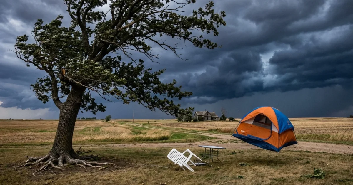
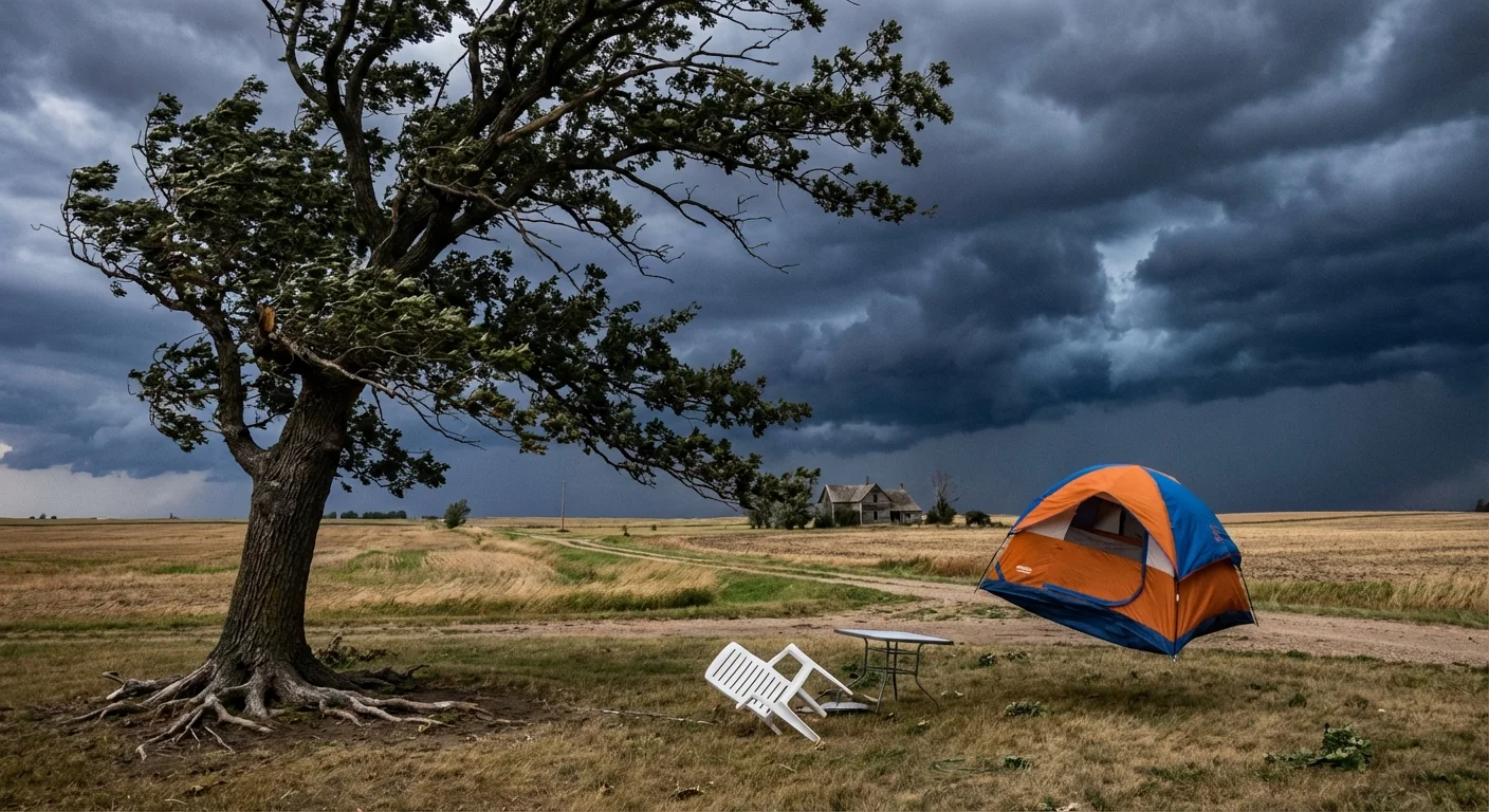
I have confirmed with county responders that the most intense core is moving north and east, riding the terrain. Expect sudden shifts in wind as outflow hits. That can topple shallow rooted trees and toss unsecured tents or patio furniture.
If you can hear thunder, you are at risk. Get inside a sturdy building. Avoid windows. Do not drive through water covering roads.
On the ground impacts
I have confirmed with local officials that two children are in critical condition after storm related injuries in the Magic Valley. Medics transported both to regional hospitals. Fire crews report scattered power outages and several downed lines. Avoid any wire on the ground, even if it looks inactive.
McCall has seen road closures and long backups as the storm moved through. Crews are working to clear fallen trees and rockfall triggered by intense rain. Drainage along popular routes struggled to keep up, which pushed water over road crowns and into shoulders. Backcountry trailheads are muddy and unstable. Debris can move quickly on steep slopes.
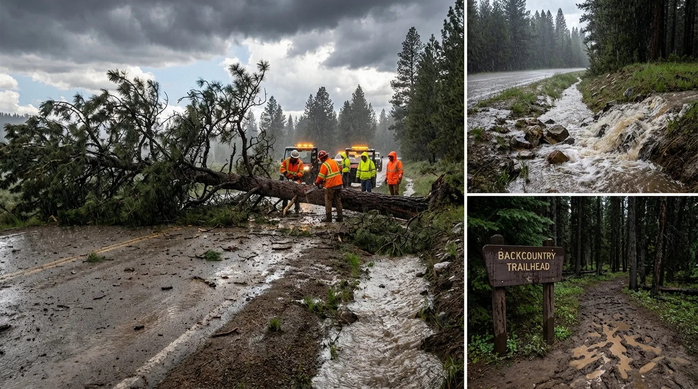
If you must travel, check the latest road status first. Expect delays as crews clear debris and assess damaged bridges and culverts.
Why storms are hitting harder
Thunderstorms feed on warm, moist air. Today’s atmosphere has both. A warmer climate holds more water vapor. That means storms can squeeze out heavier rain in a shorter time. That boosts flash flood risk, even outside floodplains.
Heat also adds energy to updrafts. Stronger updrafts can loft hail higher, allowing stones to grow before they fall. Mountain valleys, like those in central and southern Idaho, focus winds and funnel storms along narrow corridors. When storms slow or repeat over the same area, rainfall piles up. Burn scars and dry soils shed water faster, which sends sudden flows into creeks and across roads.
This is a snapshot of a broader pattern. As Idaho warms, short sharp downpours are becoming more common. Communities that plan for yesterday’s storms will fall behind tomorrow’s risks.
Preparedness tested, what worked and what did not
Alerts hit phones quickly today, and that likely saved lives. Spotters sent in fast updates that helped target warnings. Still, gaps showed. Outdoor recreation areas had few hardened shelters. Visitors did not always know where to go. Drainage in parts of McCall was overwhelmed, which turned intersections into ponds. Some rural pockets lacked clear backup power for key cell sites, and signals dropped as winds rose.
You can lower your risk with quick steps right now:
- Move to an interior room on the lowest floor, away from windows.
- Park away from trees and power lines, and set the parking brake.
- Unplug electronics to avoid surge damage.
- Keep a flashlight, charged phone, and basic first aid within reach.
After the last thunder, wait at least 30 minutes before going back outside. Lightning often strikes behind the main rain.
What to do next
Stay put until warnings expire and crews clear the main hazards. If water is entering your home, move valuables and medicines to higher shelves. Photograph damage only when it is safe, and never wade into floodwater. Check on neighbors who may need help, especially older adults or those with disabilities. If you rely on well water and flooding occurred, plan to test or boil water before drinking.
This event is a hard reminder. Stronger downpours test roads, culverts, and roofs. Towns can build resilience with upgraded drainage, more shade and wind breaks, and clear shelter plans at parks and lakes. Households can prepare simple kits and practice a storm plan. Small steps scale up when a whole community takes them.


