Power is out across a wide stretch of the country tonight. A powerful winter storm is laying down heavy snow and dangerous ice. I am tracking about 140,000 customers without electricity as of this update. More outages are likely as the storm pushes east. Flights are delayed or canceled. Roads are slick and visibility is poor. This is a fast moving, high impact event.
Where the lights are out right now
Outages are scattered from Colorado to New England. The heaviest trouble is forming along the ice belt, where temperatures hover near freezing. That zone is shifting from the central Plains into the Midwest and the interior Northeast. I am seeing growing clusters in parts of Missouri and Illinois. Ice is also pressing into Indiana and Ohio. Pockets are flaring in Pennsylvania and upstate New York. New England could see a late hit as colder air deepens overnight.
Expect the worst to migrate east through the night. The snow and ice line will wobble by tens of miles. That small shift matters. A town buried in snow can keep power, while a town glazed in ice loses it. Conditions will change quickly.
Why ice breaks the grid
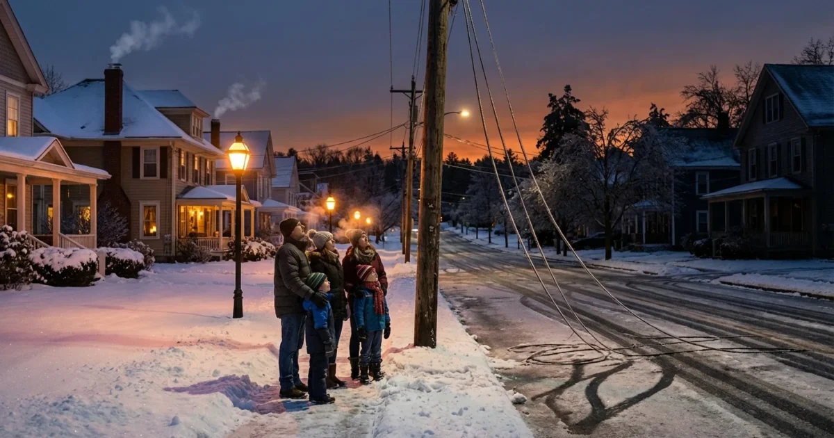
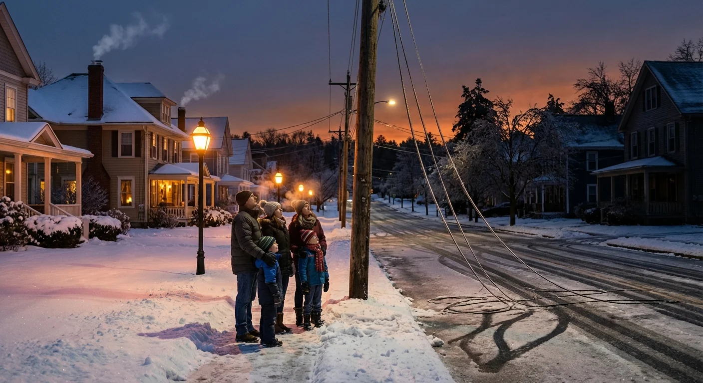
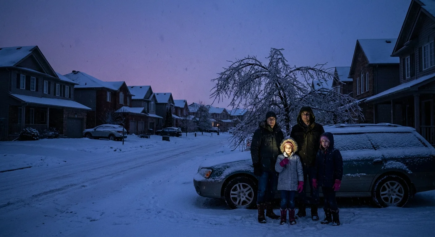
Freezing rain forms when a thin warm layer sits above cold ground. Snowflakes melt into raindrops up high, then freeze on contact with trees, roads, and wires. Even a quarter inch of ice adds huge weight to lines. Add wind, and lines sway and slap. Poles crack. Tree limbs fail. Transformers trip to protect the system. Repair crews can only move when it is safe, so restoration takes time.
Snow is heavy too, but ice is the real grid killer. Ice binds to everything. It turns small problems into system wide stress. When soil is saturated, roots lose grip, so whole trees can tip. That is a common factor today.
Icing on trees and power lines is the main driver of outages in this storm.
Travel is messy, and the storm track matters
Air travel is snarled across the path of the storm. Cancellations and delays are stacking up as deicing lines grow. On the ground, plows are working nonstop in the snow zone. In the ice zone, roads look wet but act like glass. A thin glaze can beat the best tires. If you must travel, build in time, and watch for black ice near bridges and overpasses.
Forecast maps show the worst snow pivoting from the central Plains into the Great Lakes and northern New England. The sharp transition zone, the ice strip, will set up just south of that. If you live within 30 miles of that line, your risk is highest. Keep checking local alerts. The line will wobble as the storm breathes.
What to do if your power goes out
First, stay safe. Call your utility to report the outage. Do not assume someone else has called. Keep phones charged and use battery saver modes. Limit opening the fridge to hold the cold. If you have a safe alternate heat source, set it up before temperatures drop indoors.
- Avoid downed lines and anything touching them
- Run generators outside, 20 feet from doors and windows
- Layer clothing and use blankets to hold body heat
- Check on neighbors, especially older adults and those with medical needs
- Follow local alerts for warming centers and restoration updates
Prepare for an extended outage. Gather water, shelf stable food, flashlights, and backup power for medical devices.
Never use a grill or stove for heat indoors. Carbon monoxide can build fast and is deadly.
Why winter storms are getting wetter and icier
A warmer atmosphere holds more moisture. That extra moisture feeds stronger storm systems. When surface temperatures sit near freezing, that moisture can fall as heavy, wet snow or freezing rain. The result is higher ice loads on a grid built for a cooler past. Climate signals show an uptick in heavy precipitation events. That includes winter storms with big water content.
Areas near the rain snow line face rising risk. Small changes in temperature now decide if you get plowable snow or power cutting ice. Today’s storm is a textbook case. Warm air aloft, cold air at the surface, and a moisture rich conveyor.
Building a grid that can take the hit
Crews are restoring power as weather allows. But we also need systems that break less often. That means smarter tree trimming and insulated or coated lines in ice prone corridors. It means sturdier poles and crossarms. In key places, it means putting lines underground. Rapid switching can isolate faults and shorten outages.
Home and community resilience matters too. Rooftop solar paired with batteries can keep essentials running. Neighborhood microgrids can hold critical services like clinics and shelters. Better home insulation keeps heat longer, so outages are less dangerous. Heat pumps, when paired with backup power, can ride through cold snaps.
The bottom line
This storm is not done. I expect the outage map to pulse east through the night and into the morning. The ice belt will decide the worst impacts, block by block. Stay off icy roads. Keep devices charged when you can. Report outages quickly, and follow local alerts for updates and warming centers. I will keep tracking the grid and the storm as conditions evolve. Stay safe out there ❄️.


