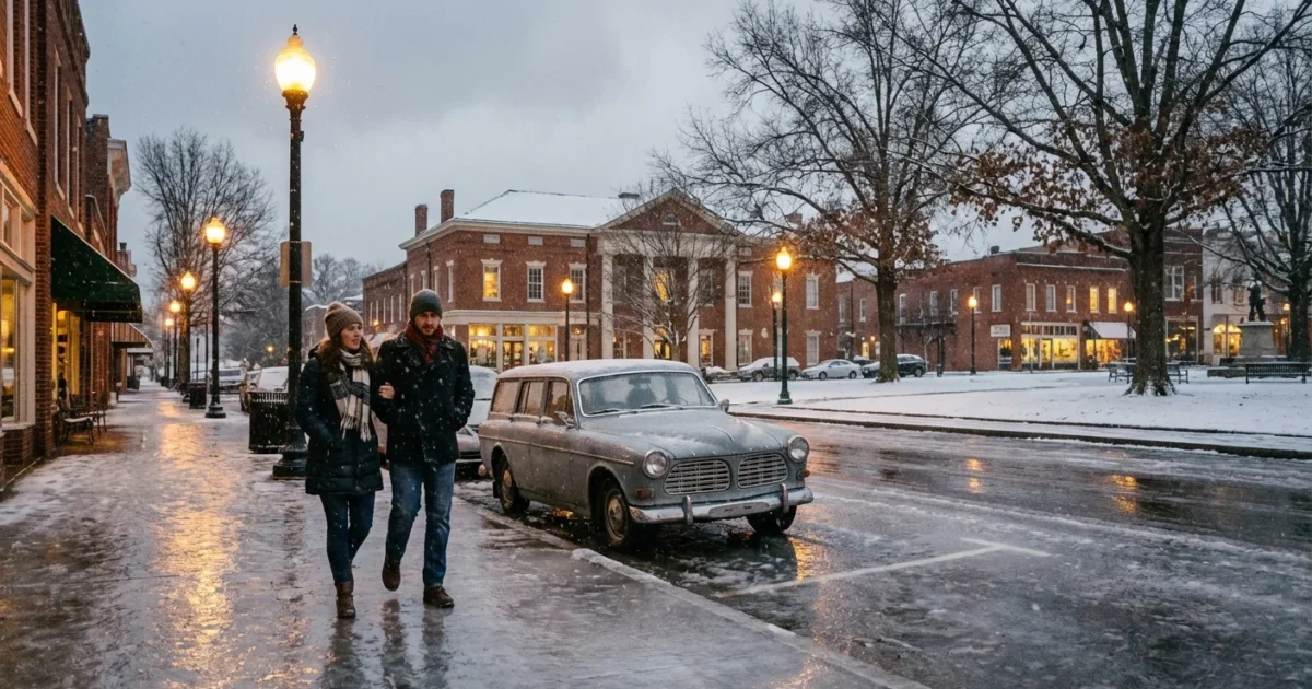
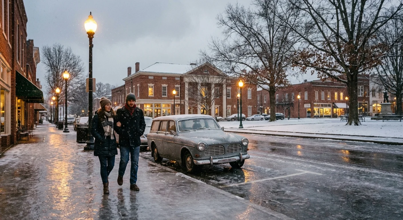
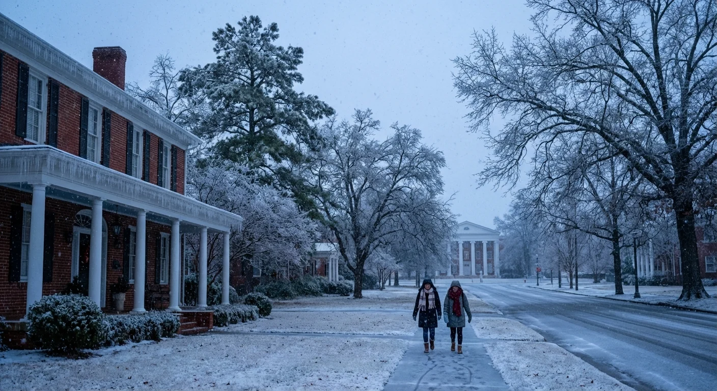
Oxford is locked under ice tonight. Sleet, freezing rain, and bursts of snow have turned streets into glass. I am tracking widespread damage, stalled traffic, and a full stop to normal life. The storm is not done.
A city glazed in ice
Ice is the main threat in and around Oxford. A cold surface layer froze rain the moment it touched roads, porches, and power lines. Trucks and SUVs slid on hills. Tree limbs cracked in waves. Side streets are a patchwork of ruts and glare ice, and bridges are treacherous.
Temperatures sit well below freezing. Wind chills cut deeper, and any slush refreezes at night. Crews are spreading salt and brine, but recovery is slow. The glaze keeps bonding to fresh surfaces.
Travel is hazardous across Lafayette County. If you do not have to drive, do not. Black ice is widespread, and emergency response is stretched.
Why this storm turned so dangerous
This setup is classic Southern ice. A shallow pool of Arctic air hugged the ground, cold and dense. A warmer layer sat above it, fed by Gulf moisture. Snowflakes melted into raindrops up high, then those drops refroze on contact at the surface. That is freezing rain, and it builds a shell of ice in minutes.
The result is heavy load on trees and power lines. A quarter inch of ice can bring branches down. A half inch can snap whole limbs and topple poles. Gusts from the north tilt the balance even more.
Climate science adds another layer. A warmer atmosphere can hold more water. That means more fuel for winter storms, even in a freeze. The jet stream also swings wider at times, which can park cold air in the South. Put deep cold under rich moisture, and you get an ice maker over Oxford.
Daily life on pause
The Oxford School District has closed for the week after extensive winter damage. District crews are checking buildings for burst pipes and roof leaks. Many driveways and neighborhood roads remain unsafe. Small businesses are making case by case calls. Some opened for limited hours, most stayed dark.
First responders are busy with crashes, stranded drivers, and welfare checks. Utilities report scattered outages where limbs fell into lines. Public works teams are cutting debris away to reach trouble spots. They are working methodically to keep workers safe.
If you must move around town, plan with care:
- Stick to main roads that have been treated, and slow down early for turns
- Give plows and bucket trucks extra room, these crews keep you safe
- Watch for falling branches near older oaks and pines
- Keep your phone charged and a blanket in the car
Resilience and sustainability
Community steps now can reduce harm and help the grid. Heat demand is surging, and each small choice matters. Set thermostats a few degrees lower, wear layers, and seal drafts with towels. Open cabinet doors under sinks on exterior walls, and let faucets drip to protect pipes. Check on neighbors, especially seniors and those without steady heat.
Conserve energy during peak hours, sunrise to mid morning and late afternoon to evening. Lower heat slightly, delay laundry and dish cycles, and unplug idle devices. Small cuts prevent bigger blackouts.
In the longer view, Oxford can harden for future ice. Tree trimming around lines reduces limb failures. Weatherizing homes lowers peak load. Resilient microgrids and buried distribution lines can keep clinics and shelters powered. Cities across the South are also testing salt alternatives, like treated brine and sand mixes, to limit runoff into creeks.
Road salt and melting chemicals wash into streams. Use only what you need on sidewalks, and sweep up excess when ice is gone.
What to watch next
Cold air will hold firm for now. Daytime melting may be slow, and nights will refreeze what thawed. Power crews will chase new outages as ice shifts under wind. Road conditions will improve in steps, not all at once.
Here is the likely rhythm over the next 48 hours:
- Periods of light wintry mix possible, with freezing drizzle in spots
- Gradual road treatment progress on main routes, side streets lag behind
- Intermittent power flickers where ice and limbs sag lines
- A slow warming trend late week, with faster thaw in sunlit areas
Stay alert for updated school and city notices. If you hear branches popping near your home, move away from windows and avoid porches until the danger passes. Generators should run outside and far from doors to prevent carbon monoxide.
Oxford is resilient. Neighbors are already stepping up, from opening warming spaces to clearing sidewalks. The ice will break. Our actions now, careful and steady, will decide how quickly we thaw and how safely we recover.


