A dangerous winter storm is forming now. I am tracking a cold surge and a firehose of Gulf moisture. The two will meet from Texas to the Carolinas, then push into parts of the Mid Atlantic. This setup points to heavy snow, crippling ice, and bitter wind chills. The impact window runs late this week into the weekend. Travel will turn risky fast. Power outages are likely where freezing rain takes hold.
Breaking now
Winter storm watches are going up across the South and East. A watch signals that severe winter weather is possible, not certain yet. The early signal is clear. Cold air is already sliding south at the surface. Warm, wet air from the Gulf is riding over it. That is the classic recipe for snow to the north and a band of freezing rain and sleet to the south.
The bullseye for ice risk stretches from central Texas into the Deep South and the Carolinas. Snow will stack up north of that zone. As this system deepens, the wind will snap and drift snow, and add stress to coated trees. Expect the footprint to expand as the storm taps more moisture.
A thin glaze of ice can drop trees and lines. A half inch can shut down entire counties.
What a winter storm watch means
A watch tells you to prepare within the next one to two days. It is not a travel ban. It is a heads up that conditions can turn dangerous with little notice. When confidence increases, a warning or advisory will replace the watch. That shift can happen quickly. Plan now so you do not need to rush later.
If you live in the southern tier, take this seriously. Many communities there have less snow and ice gear. That means roads can degrade faster. Recovery can take longer. Power crews also face wider damage fields when ice clings to lines.
Why ice risk is different from snow
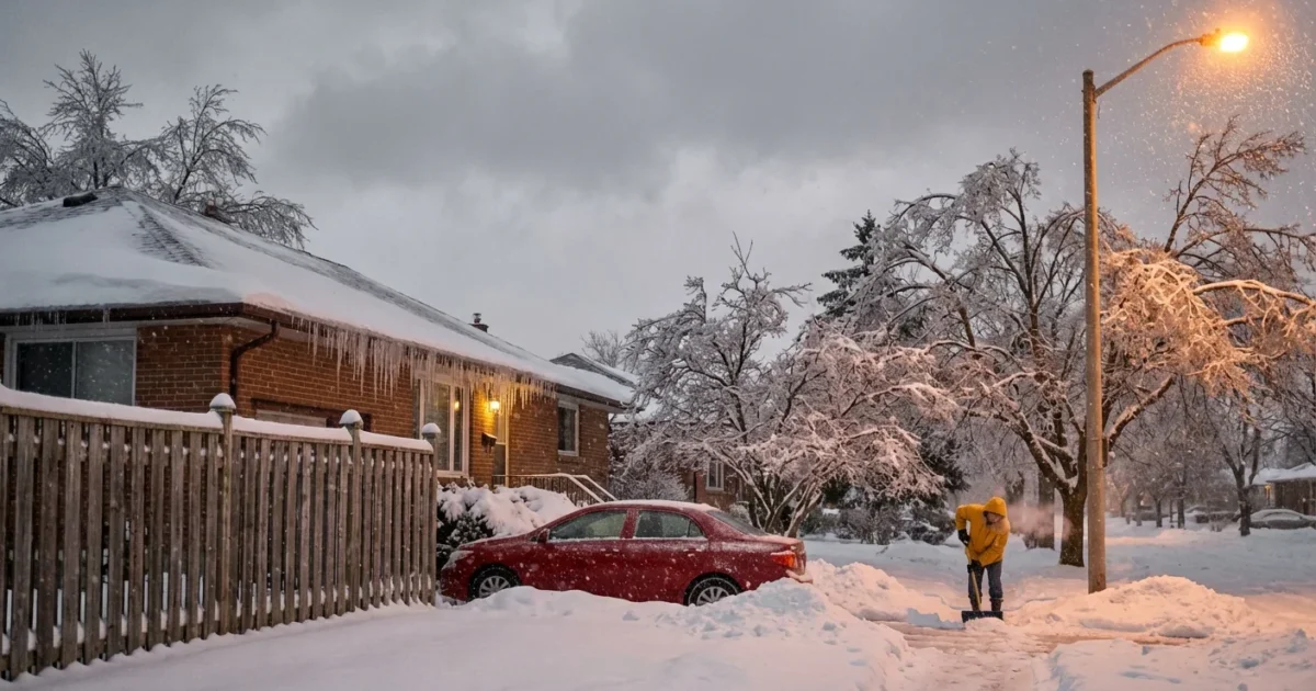
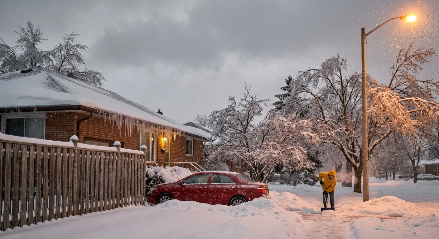
Snow reduces traction and slows travel. Ice changes the game. Freezing rain coats everything in glass. It adds huge weight to tree limbs and power lines. It turns steps, porches, and roads into rinks. Sleet is less sticky, but it still makes roads slick and noisy. Both hazards can trap drivers and block emergency response.
Bridges and overpasses freeze first. They cool on all sides, so ice forms there even when main roads are only wet. Black ice is also a concern at night and dawn. It looks like water until it is too late.
If the road looks only wet and air temperatures are near freezing, assume hidden ice on bridges and shaded curves.
The climate backdrop
This storm sits at the crossroads of weather and climate. The Gulf of Mexico is running warm for January. Warm water loads the air with moisture like a sponge. When that moisture meets shallow Arctic air near the ground, the sky wrings out heavy precipitation. Small temperature changes then decide if it falls as snow, sleet, or freezing rain.
A warming climate does not end winter. It shifts the odds. Warmer air holds more water. That can mean heavier downpours and heavier snow when cold air is present. It can also widen the mixed zone where ice forms. Southern grids and forests, built for heat and hurricanes, face new winter stress. Building resilience now is a sustainability choice, not only a safety move.
Prepare now, before the first drop freezes
I want you ready before roads lock up. Move up errands. Refill needed meds. Check in with neighbors who may need help. Then follow these quick steps.
- Charge phones, battery packs, and medical devices. Save power with low brightness.
- Secure heat. Test space heaters. Keep a safe distance from anything that can burn.
- Protect water. Insulate exposed pipes. Drip faucets on exterior walls.
- Fuel up. Top off your car and your home backup energy supplies.
- Park smart. Move cars away from big trees and lines.
Keep a lean storm kit within reach:
- Flashlights with fresh batteries
- Non perishable food and a manual can opener
- Bottled water for two to three days
- Warm layers, hats, and blankets
Lower your home thermostat a few degrees before peak demand, and close curtains at night. This eases grid stress and keeps heat in. ❄️
I will continue to track the changeover zones and timing. Expect the worst conditions from late Saturday into Sunday in many southern and eastern areas, then a slow thaw. Stay tuned to local alerts for street level details. Avoid nonessential travel during peak icing. If you must drive, go slow, add distance, and watch for falling limbs.
Conclusion
Winter storm watches are the first alarm, and this one deserves your full attention. Ice is the headline risk in the South, with heavy snow to the north and brutal wind chills behind the front. Smart prep today protects your family, your neighbors, and the grid. Take a breath, make a plan, and get it done. When the first raindrops freeze, you will be ready. 🔌


