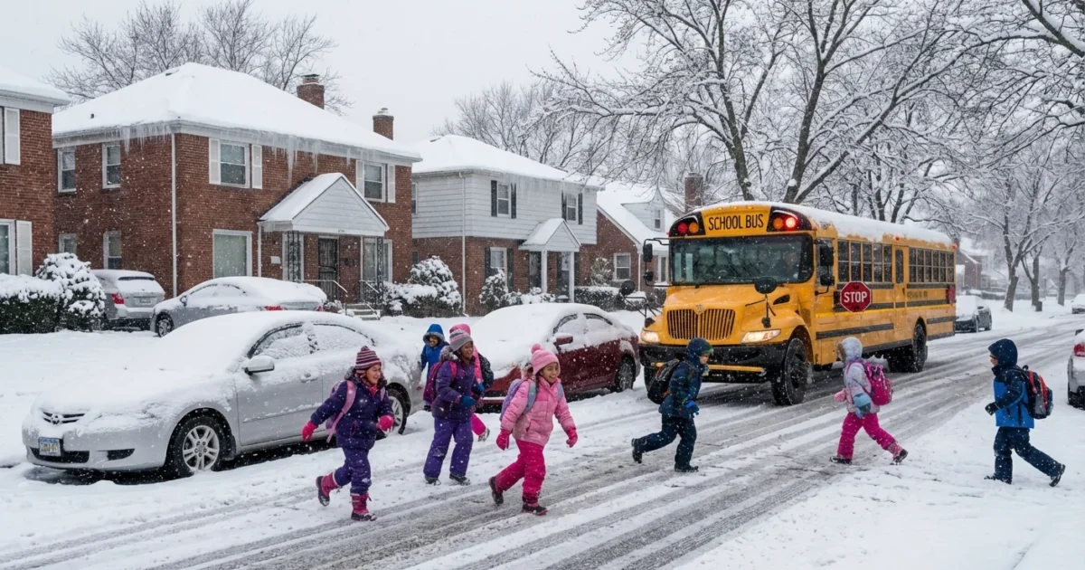
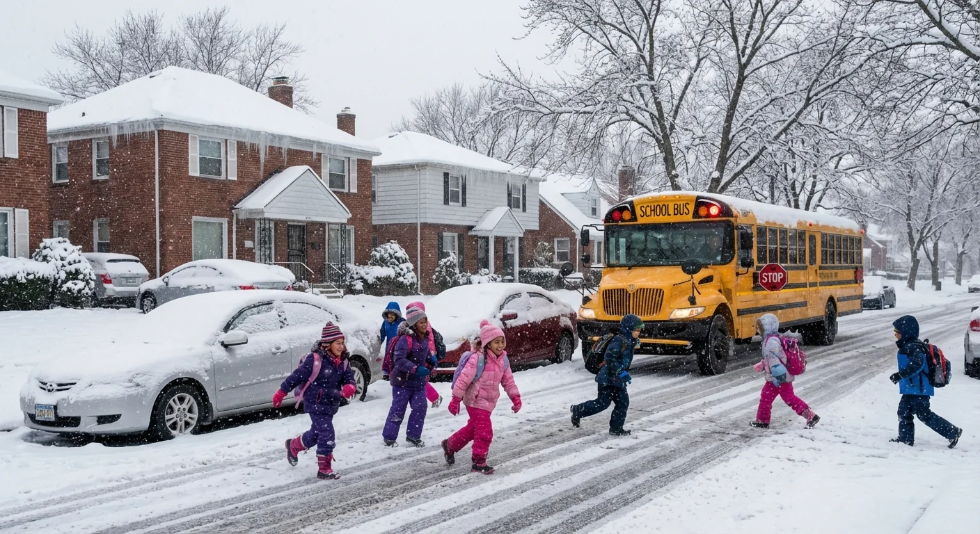
Detroit-area schools are closing this morning as a fast, heavy snow burst turns roads slick and visibility poor. I am tracking widespread closures and delays across Metro Detroit and much of Southeast Michigan for Thursday, Jan. 15, 2026, with some districts also shuttered on Wednesday evening. Expect slower travel, limited bus service, and a long morning cleanup. ❄️
What is closed and when
Districts across the region have confirmed closures or late starts today. The decisions follow a band of intense snowfall that moved in before dawn. Plows are working, but ice under fresh powder is a problem on side streets and hills. Bridges and ramps are especially risky. Wind is pushing light, dry snow back over cleared lanes, which reduces the payoff of early plowing.
Many superintendents signaled this wave of calls late Wednesday, then expanded the list early today as the heaviest snow hit the commute window. Parents should plan for a full day of closures in most communities. Some schools may shift to remote work or cancel activities outright. After school events are likely off.
Road conditions remain hazardous this morning. If you must drive, slow down, leave extra space, and watch for hidden ice.
Why this storm is hitting hard
This is a classic Great Lakes winter setup. Cold air rushed in overnight. It met deep moisture streaming off Lakes Michigan, Huron, and Erie. That mix primed the sky for quick building snow bands. The result is a short window of high snowfall rates, then lighter snow and flurries that linger. Even a few hours of heavy snow can overwhelm neighborhood plowing and school bus routes.
There is a climate angle here. Winters in Michigan are trending warmer on average, but the lakes are staying ice free longer. Open water gives the atmosphere extra moisture and energy. That fuels heavier short bursts of snow when cold snaps arrive. It is a paradox we expect to see more often, even as the total number of very cold days goes down.
Gusty breezes are adding to the risk today. Blowing and drifting reduce visibility along open stretches. Temperatures near or below freezing keep salt from working fast. This combination, quick snow plus slow melt, is why so many districts chose to close.
How families can verify closures fast
School closure decisions can change by the hour in a dynamic storm like this. Do not rely on third hand posts. Go to direct alerts.
- Check your district’s website, text alerts, and robocalls first.
- Verify bus service updates from your transportation provider.
- Watch city or county emergency alerts for road and plow notes.
- Use state traffic cameras to gauge conditions on your route.
If you do not get texts from your district, enroll today. Add a backup contact, then screenshot the closure notice for your records.
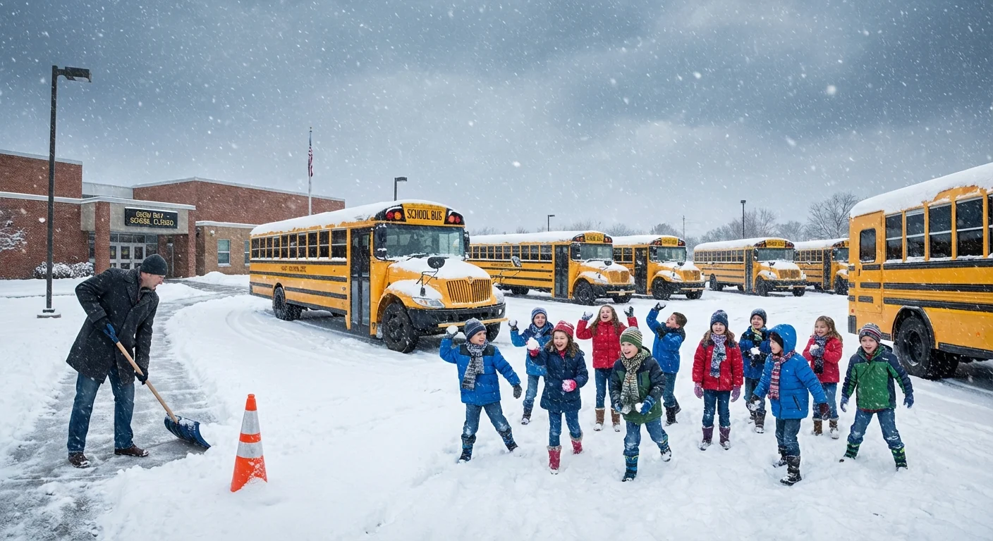
Expect updates through the late morning as crews assess side streets and parking lots. Some districts may move from delay to full closure if conditions do not improve. Others could greenlight afternoon activities if lots are cleared and winds relax. Stay flexible, and assume slower travel even after the snow tapers. 🚸
Safe and sustainable snow routine
Today is a good day to clear snow the smart way. We need safe sidewalks, and we need clean rivers in spring. Both can happen with a few simple choices.
- Shovel first, then salt only what ices over.
- Use a pet safe deicer or sand on steps and corners.
- Keep salt off lawns and away from storm drains.
- Consider an electric shovel or blower to cut fumes.
Overuse of salt harms trees and soils. It also runs into the Rouge and Clinton River systems, then into the Great Lakes. Small changes on your block add up across a metro area this large.
Aim for traction, not bare pavement. A light application after shoveling often does the job and saves money.
Bus stops and walking routes
Clear curb cuts and corners so kids are not forced into the street. Pile snow on the downstream side of drains so meltwater can flow. If your sidewalk faces the north, expect refreeze later. A quick pass with a scraper this afternoon can prevent black ice tonight.
What to expect next
Snow intensity will lighten by midday, then fade to flurries. Temperatures stay near freezing, so slush will refreeze after sunset. Watch for dicey conditions on untreated roads this evening. Districts will evaluate Friday schedules based on how well crews can widen lanes, clear lots, and push back drifts.
I will continue to monitor closures across Metro Detroit and Southeast Michigan. The key today is patience, clear communication, and smart cleanup. Warmer lakes may be loading the dice for bursts like this, but our response can still be calm, safe, and sustainable. Stay tuned for midmorning updates, keep those notifications on, and take it slow out there.


