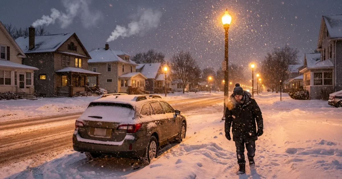
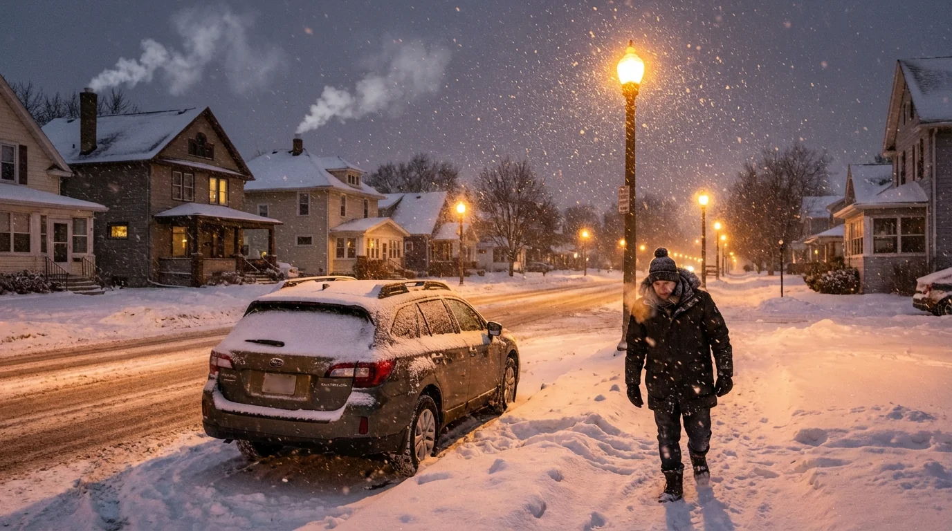
Green Bay, stay sharp. A strong winter storm locks in on our area Sunday, and I am tracking a fast build in snow and wind. Totals near 4 to 6 inches look likely. Roads will get slick fast. Visibility will drop in blowing snow. Weekend plans will need a backup. ❄️
What to expect and when
Snow pushes in Sunday and grows steadier through the day. The most intense period should arrive from afternoon into late evening. That is when plows will struggle to keep up and when travel will be most hazardous. Winds strengthen as the snow deepens, which means drifting across open stretches and on bridges. The storm slowly eases overnight. Lingering snow and slick spots may hold through the Monday morning commute.
This snow will be dense and wet in many neighborhoods. Temperatures hover near freezing, so the snow sticks, compacts, and weighs down branches. That is a setup for isolated power flickers if winds pull at ice‑coated limbs. Expect slower cleanup where plows face heavy slush at intersections and curb lines.
Hazardous travel Sunday afternoon and night. Blowing snow, low visibility, and slick pavement will be widespread. Delay nonessential trips. ⚠️
Why this storm packs a punch
This system feeds on two ingredients, mild air for December and plenty of moisture. Warmer air can hold more water. When that moisture collides with just‑freezing air near the surface, we get heavy snow rates, even without arctic cold. The Bay and Lake Michigan also help by keeping low‑level air humid. That can enhance snowfall bands near the shoreline and along open country roads.
This is also the winter we live with now. Wisconsin winters are warming, but that does not end snow. It shifts it. Storms can carry more moisture, which can boost single events. We also see more freeze and thaw swings. That wears down pavement and stresses storm drains. It also increases road salt use, which carries real costs for rivers, soils, and drinking water.
Travel and safety, starting now
If you must drive Sunday, plan for extra time and poor lines of sight. Keep your gas tank topped off and your phone charged. Crews will be out, but snowfall rates may outpace treatment during the peak. Rural routes and east to west roads will drift first in strong crosswinds.
- Slow to a safe speed and leave triple the space to stop
- Pack a winter kit with blanket, snacks, water, and a scraper
- Clear all windows and lights, and keep wipers up when parked
- Bring pets indoors and check on neighbors who may need help
- Keep devices charged and a flashlight ready in case of outages
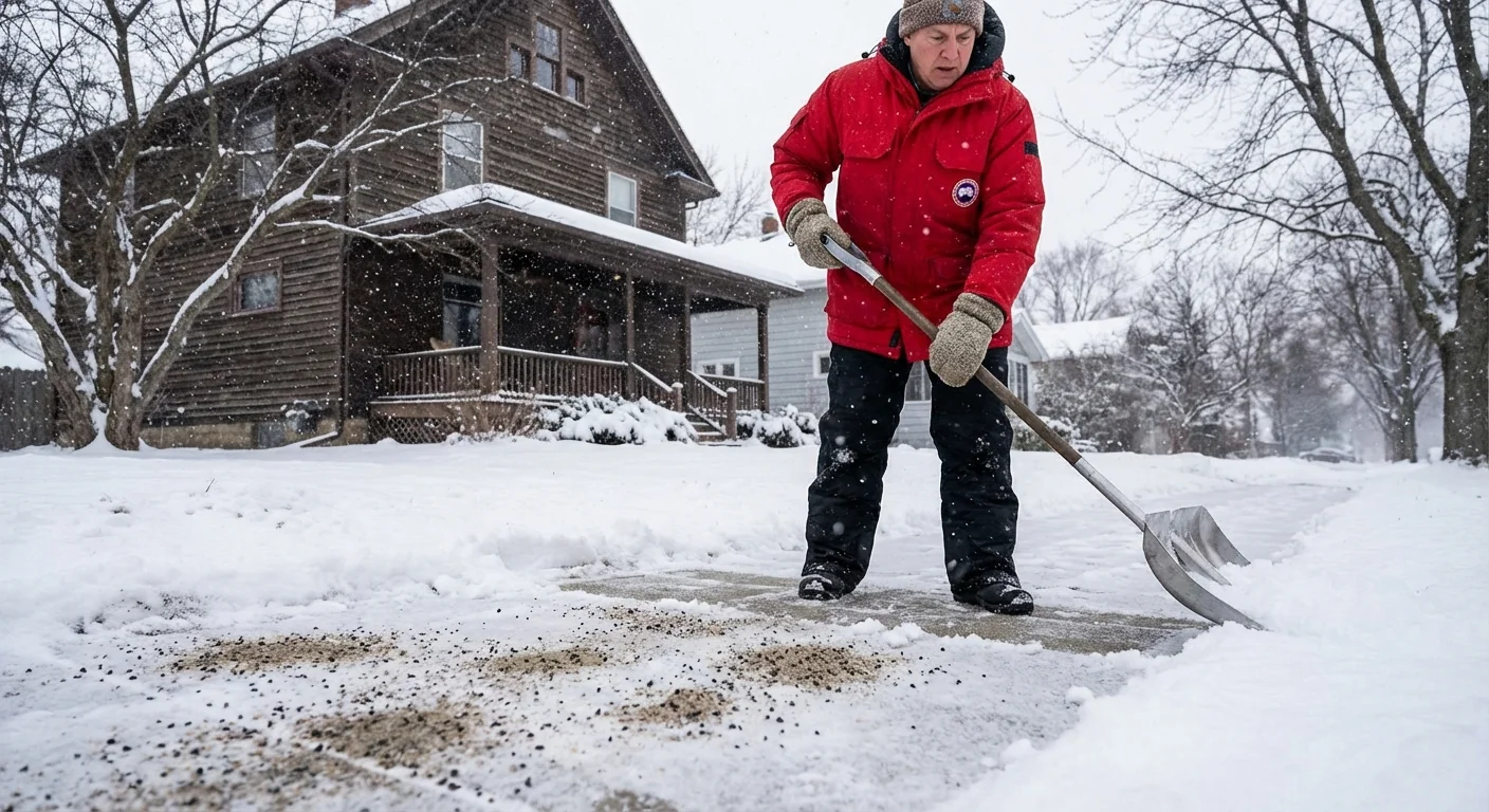
Shovel early and often to reduce salt use. Try sand or calcium magnesium acetate on steps. Aim for bare enough, not bare dry. Your river will thank you.
Sustainability choices that matter in a storm
Salt is effective, but overuse harms fish, soil, and groundwater. Shovel to the pavement before you salt, and use a coffee mug as a measure. If the surface temperature is below 15 degrees, most rock salt fails, so sand for traction instead. Sweep up leftover salt after the storm, and store it dry for next time.
Think energy resilience. Charge external batteries today. If you have a home backup, test it before snow arrives. Clear snow from furnace and dryer vents to prevent carbon monoxide buildup. Never run generators in a garage or near windows. Layer clothing indoors if you lose heat. Close interior doors to keep warm rooms warm.
For Monday cleanup
Push snow away from storm drains to reduce street flooding during the thaw. Keep hydrants clear by three feet if you can. That helps firefighters and protects your block. Pile snow on lawns, not on the street, to avoid freeze ridges and refreeze crashes.
Where to get real‑time local updates
I will continue to track this storm and push updates as it evolves. For street‑level detail, use these local sources during the event. Check the National Weather Service office in Green Bay for warnings and timing. Follow the City of Green Bay Public Works for plow progress. Use Wisconsin 511 for road conditions and camera views. Monitor your utility’s outage map and text alerts for restoration times. Local school districts will post closures early Monday if needed.
If you hear thunder while it is snowing, do not be surprised. That can happen in bands of intense lift. Treat it as a signal that rates are peaking and that roads will worsen quickly.
The bottom line
A plowable snow is on the way, with 4 to 6 inches for most of the Green Bay area, and winds strong enough to drift it. Sunday afternoon and night will be the hardest window. Prepare today, travel smart, and salt with care. We can keep roads safer, protect our waters, and get through the first true test of the season together.


