BREAKING: Widespread school delays tomorrow as brutal wind chills grip central Ohio
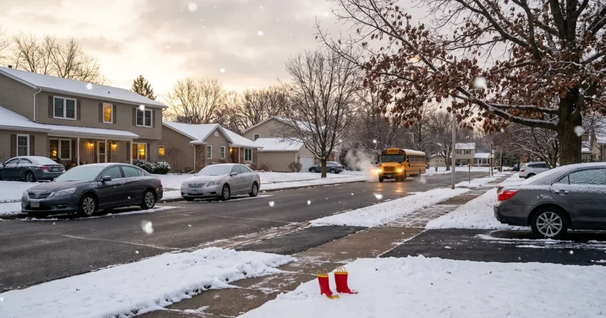
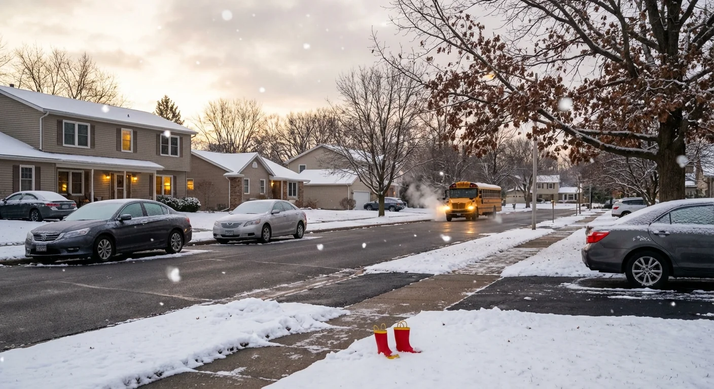
Families, set your alarms and your plans. Districts across central Ohio are delaying or canceling school for Monday, Dec. 15, 2025. I am tracking broad announcements tonight as a fast moving winter system locks in bitter air. Feels like temperatures fall below zero before sunrise. That is enough to tip the balance on student safety, bus reliability, and road conditions. ❄️
What is happening and where
The core of the cold settles over the Ohio Valley overnight. Air temperatures dip to the single digits in many neighborhoods. Strong northwest winds increase the bite on skin and make any exposed wait at a bus stop risky. Side streets and sidewalks refreeze after today’s melt, so black ice will be a hidden hazard before dawn.
By evening, hundreds of schools across central Ohio had already posted delays or full closures for Monday. More districts are likely to join overnight as road crews update surface conditions. Expect final calls between 5 and 6 a.m., the usual window when transportation teams test routes and buses.
Wind plus cold can trigger frostbite on exposed skin in as little as 30 minutes. Cover ears, fingers, cheeks, and the tip of the nose if you must be outside.
Why a delay instead of a normal start
District operations staff weigh a few key factors. Wind chill thresholds for young students. How quickly salt works on cold pavement. Whether diesel buses crank on time in extreme cold. And the fact that most walkers and riders wait in the dark just before sunrise. A two hour delay can lift the sun, give crews more time to treat problem spots, and reduce exposure risks.
How the weather fits our changing climate
It seems strange to talk about extreme cold in a warming world. Here is the science in plain terms. The Arctic is warming faster than the rest of the planet. That can alter the jet stream, which is the fast river of air high above us. When the jet stream bends and slows, pockets of polar air can dip south for short blasts. We feel those bursts as dangerous cold snaps. The planet is warming, yet we still get sharp cold spells, sometimes sharper when the jet wobbles.
There is also more water vapor in a warmer atmosphere. That means when cold air meets moisture, snow bands can build quickly. The Great Lakes add extra fuel, so lake effect bursts tonight could make roads slick unevenly, street by street.
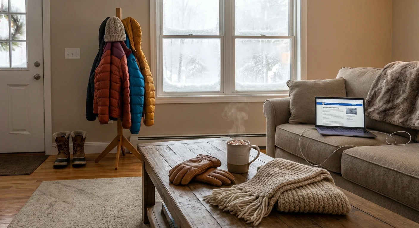
What to do tonight and at first light
You do not need perfect plans. You need simple, ready steps. Here is a fast sequence to follow.
- Check your district’s alert system and verify contact info. Set quiet hours to allow emergency alerts through.
- Lay out layers for morning. Avoid cotton. Use a warm hat, scarf, and insulated gloves.
- Confirm your bus stop plan. Shorten outdoor wait time and have a warm ride backup.
- Charge laptops and hotspots in case of a remote learning day. Test logins now.
If you drive, start 10 minutes early. Roads that look wet can be ice. Smooth, shiny patches usually mean black ice. Gentle braking keeps traction.
A quick word on sustainability while we stay safe. Cold snaps spike energy use. Small choices help both the grid and your bill. Lower the thermostat by one degree if safe. Close curtains at night to trap heat. Avoid idling cars at the curb, exhaust worsens local air quality and wastes fuel. Use sand or kitty litter on steps to reduce salt use near streams.
- Schools can help by preheating buildings gradually, sealing known drafts, and limiting bus idling at depots.
How districts decide, and what comes next
Transportation teams drive test routes before dawn. They check drifts on rural roads, shaded bridges, and narrow side streets. Operations managers review bus start data and consult with neighboring districts to avoid mixed messages for shared routes. Health staff weigh exposure risks for the youngest riders. Superintendents make the call and aim to notify families early enough for childcare planning.
Expect extracurricular adjustments too. Morning practices are likely off. Afternoon events may go forward if temperatures rebound, but coaches will send updates. Some districts will shift to a remote day. Others will add minutes to future schedules or set a make up day. The priority tonight is simple, safe travel and warm kids.


