BREAKING: Freezing rain triggers widespread school closures across Minnesota
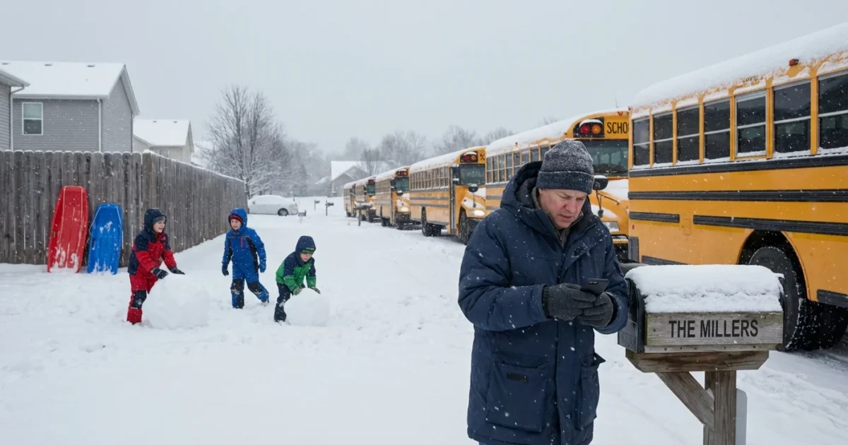
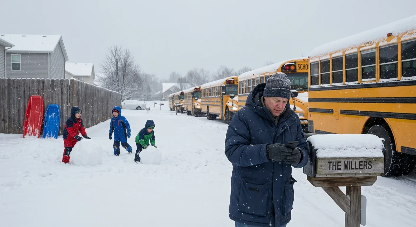
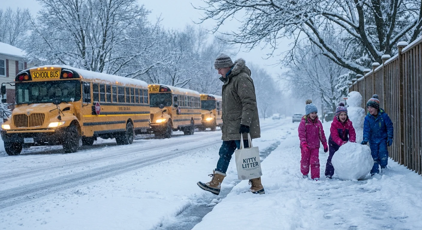
Minnesota woke to ice, not snow. A cold glaze formed overnight, turning roads and sidewalks into skating rinks. I am confirming widespread school closures and late starts across the state today, Tuesday, Jan. 6, 2026. This is a fast moving situation. Buses, carpools, and walkers all face slick conditions that can change block by block.
What is happening right now
A band of freezing rain moved in before dawn. Temperatures hovered near 32 degrees at the surface, while a shallow cold layer sat at ground level. Rain fell through a warmer layer aloft, then froze on contact with roads and trees. That thin ice film is now widespread on untreated routes.
Districts from the metro to outstate communities have pulled back on normal schedules. Some canceled classes. Many pushed start times to late morning. Transportation departments are reassessing by the hour as salt and brine catch up. Families should expect modified bus routes and canceled morning activities. Afternoon plans remain uncertain, since a small swing in temperature could improve or worsen conditions.
Black ice is highly reflective and easy to miss at night and dawn. Assume bridges, ramps, and neighborhood hills are icy, even if main roads look wet.
Why freezing rain closes schools
Heavy snow slows us down. Freezing rain stops us. A glaze of ice cuts tire traction, lengthens stopping distances, and makes turning dangerous. It also coats bus steps and sidewalks, raising fall risk for students and staff.
This is not about plow depth. It is about timing, surface temperatures, and microclimates. Hills that face north stay colder. Rural routes wind through open fields that radiate heat away. City intersections compact into polished ice with each pass of a tire. A quarter inch of glaze can be worse than six inches of powder, especially during the morning rush.
The weather setup
- Warm air aloft sends liquid rain to the ground.
- A shallow subfreezing layer chills the surface.
- Rain freezes on contact, building a clear, hard crust.
How districts decide and how alerts go out
I am tracking decisions from superintendents and transportation leads across Minnesota. Crews check test routes before 5 a.m. They drive bus turnarounds, bridge decks, and shaded hills. They coordinate with county plow teams and watch surface temperature sensors, not just the air reading. They also consider special education routes, teen drivers, and walking zones.
When traction falls below safe margins, the call comes quickly. Districts push alerts by text, email, and app notifications. They update websites and local media feeds. Many also coordinate with 511MN so families can compare road status with school plans. Expect another round of messages by late morning as conditions evolve.
Set district alerts to high priority. Cross check with 511MN, county public works updates, and your bus provider. Recheck after 9 a.m., when crews report new traction readings.
What families should do now
Safety comes first. If your district is open but delayed, use the extra time to plan a slower trip.
- Leave early, drive slower, and leave long gaps between cars.
- Use winter shoes with traction. Carry sand or kitty litter for steps.
- Keep headlights on. Clear all ice from windows and cameras.
- Watch for refreeze in shaded areas and on bridges.
Climate signal behind the ice
Our winters are warming, but not evenly. The atmosphere often holds a warm layer above a cold surface. That setup raises the odds of freezing rain and mixed precipitation. Across the Upper Midwest, climate data shows more days with wintry mix in late fall and mid winter. That trend stresses school operations. It shifts risk away from plowable snow and toward ice events that are harder to treat and time.
Ice storms also carry hidden costs. More salt goes on roads during glaze events, since crews need fast traction. Excess salt washes into lakes and streams and can harm fish and plants. Cities are testing brine blends and smarter spreaders to cut use while keeping roads safe. Precision treatments help, but they require training, sensors, and tight timing. That investment matters as ice days rise.
Safe travel and clean water can go together. Calibrated spreaders, targeted brining, and slower speeds reduce salt use without losing traction.
The bottom line
I am calling this morning what it is, a high impact ice event for Minnesota schools. Freezing rain, not snow, drove the decision to close or delay. Expect schedule changes, limited transportation, and rolling updates through midday. Keep checking your district alerts. Compare them with 511MN road status. Travel only if needed, and move as if every surface is slick. Today, patience is a safety tool. And in a warming winter, we will need that tool more often.


