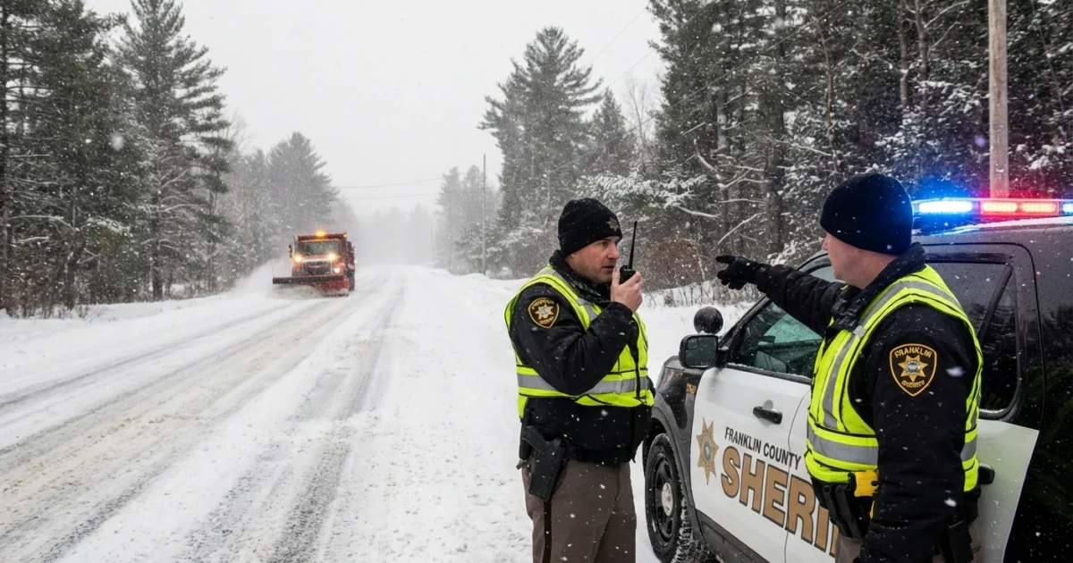
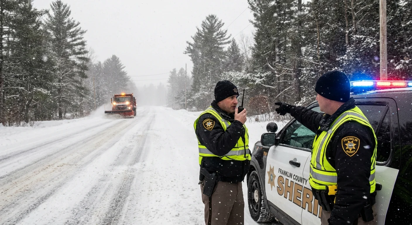
Franklin County has entered a Level 3 snow emergency as Winter Storm Fern pounds central Ohio with heavy, wind driven snow. Roads are closed to non-emergency travel. This is the highest alert in Ohio. It is also the first Level 3 for Franklin County since the state created the system. This is a rare moment in a fast changing winter.
Franklin County hits Level 3
Snow bands have stacked over the Columbus metro since overnight. Visibility has dropped to near zero at times. Plows are fighting deep drifts and slick ice under a thick pack. Travel is dangerous and slow. Many ramps and secondary roads are blocked by stuck vehicles. Crews need space to clear lanes. Staying off the roads speeds the recovery.
Officials stress one key point. Level 3 is serious, but it is not an automatic ticket or arrest. Deputies are focused on safety first. They will use judgment with true emergencies, like medical needs or shelter access.
What Level 3 legally means
Level 3 is Ohio’s top tier for winter road safety. It closes public roads to non-emergency travel. If you are not police, fire, EMS, road crews, or on a true emergency run, you are told to stay home. Drivers who ignore the order can face citations. Employers may still call in essential staff, but the road rules do not change. If you must go, carry proof of your role and route. Expect to be stopped and advised to turn back if it is not critical.
Franklin County’s decision to move to Level 3 marks a turning point. For years, central Ohio has avoided the top level while other counties to the north issued more frequent bans. This storm is different. The snowfall rate, the gusty winds, and the ice under the snow have combined to overwhelm normal response.
Level 3 closes roads to non-emergency travel. If it is not a real emergency, do not drive.
Why this storm packed so much snow
Fern is a classic winter low that tapped deep Gulf moisture, then pulled it over a dome of Arctic air sitting on the Ohio Valley. Warmer air can hold more water vapor. When that air is lifted and cooled, it dumps heavy precipitation. Today, that moisture crossed a shallow layer of subfreezing air near the surface. The result is rapid snow growth, intense banding, and whiteout bursts.
This is the pattern scientists expect in a warming climate. Average winter temperatures are rising, but the heaviest snow days can grow more intense when cold air is in place. The atmosphere now holds more fuel. When it tips to snow, the flakes stack up fast. That is what we are seeing on the ground, from clogged neighborhoods to buried interchanges.
Winds are also a key part of this story. Gusts are pushing fresh powder into drifts, then scouring treated lanes back to glare ice. That undoing effect is why crews need longer cycles. It is also why travel bans matter during peak hours.
Keep outside furnace and dryer vents clear of snow to prevent carbon monoxide buildup in your home.
Safety, sustainability, and recovery
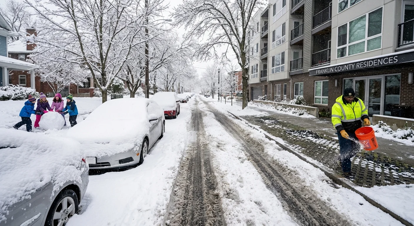
The fastest way to reopen the county is simple. Stay put. Let the plows work. Use this window to dig out safely and with care for our waterways. Rock salt works, but heavy use sends chlorides into streams and the Scioto and Olentangy. That harms fish and plants and corrodes pipes and bridges. Use only what you need. Sand or traction grit can help on steps and short walks. Calcium magnesium acetate is gentler if you have it.
Do the basics that save lives and energy:
- Shovel early in light lifts, and clear storm drains and hydrants near your home.
- Check on neighbors, especially older adults and those without power.
- Keep a three foot radius around space heaters, and test smoke and CO alarms.
- Lower thermostats a notch to ease strain on the grid during peak demand.
This storm is also a reminder about urban design. More tree cover slows wind and drifting. Permeable sidewalks reduce ice. Smart salt storage and brining plans cut runoff. These choices reduce winter costs and protect rivers long after Fern moves out.
What comes next
Expect plow teams to focus on main arteries first, then secondary routes, then neighborhoods. Drifting will remain a problem until winds ease. Side streets will take time. Sidewalk clearing is a community effort, and it starts at your front door. If you must travel for a true emergency, call ahead, plan a slow route, and carry a winter kit.
Franklin County leaders will reassess conditions through the day. The Level 3 order will lift when roads are passable and crews can keep up. Some nearby counties may hold at Level 2 with less strict limits. Others could match Franklin if banding shifts. The message is consistent. Do not drive unless you must. Watch for updates from the Sheriff’s Office and emergency management. When the snow stops, the work begins. If we give crews space now, the county can bounce back faster tomorrow. ❄️


