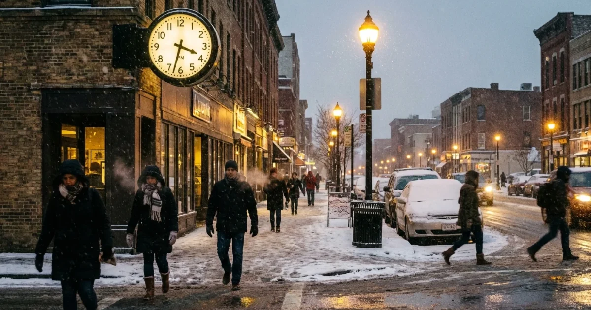
BREAKING: The UK is turning white, and the clock matters. Arctic air is flooding south today, locking in deep cold. Fresh snow and ice warnings are active now. Many are asking for the exact time the snow will start or turn heavy. I am tracking the bands in real time. Here is what you need to know, and how to stay ahead of it.
What is happening right now
Cold air from the high Arctic has pushed over the UK. The wind is from the north, straight down the country. That flow is feeding lines of showers into coastal areas. As they move inland, they fall as snow for many. Ground temperatures are low. That means ice is a real risk even where snow is light.
The pattern will keep pulsing through today and tonight. Some places will see quick bursts, then a break, then another burst. Small shifts in wind direction will focus showers into narrow bands. Where they stall, roads will turn treacherous fast.
Hazardous ice is likely on untreated roads and pavements, even where snowfall is brief.
Why the exact time is hard to pin down
Asking for the exact minute snow starts makes sense. Plans, travel, and events rely on it. But winter systems like this move on the edge of what models can time perfectly.
Snow showers today are narrow, like ribbons 10 to 30 miles wide. If a band wobbles a short distance, your start time may change by an hour or two. Temperatures near freezing add another twist. A one degree change can flip sleet to snow, then back again. That is why nowcasting matters. Radar and short-range models, updated often, beat yesterday’s forecast.
What to expect by region today
Here are the most likely windows based on the current setup. Allow some wiggle room, since bands can shift quickly.
- Northern Scotland, Highlands and Islands, and the Northern Isles: snow showers on and off through the morning and afternoon. Blowing snow on higher routes.
- Central Belt, southern Scotland, and northern England: snow increasing late morning to mid afternoon. Heavier bursts along wind-aligned bands.
- North Wales, the Midlands, and Yorkshire: sleet turning to snow for many from mid afternoon into evening. Icy stretches after dusk.
- Southwest England, south Wales, and the M4 corridor: mixed sleet and wet snow later today and tonight. Colder inland spots may turn briefly white.
- Southeast England and East Anglia: lighter flurries at first, with a better chance of snow showers later this evening and overnight. Ice risk grows after sunset.
Remember, coasts may stay slushy while inland rises turn white faster. Urban heat can delay settling, then ice hardens after dark as skies clear between bands.
Track it minute by minute
You can follow the snow to your street by watching the radar loop and short-range updates. That is how I am timing the bands as they form and fade.
- Open a live rain and snow radar with a 5 to 15 minute refresh.
- Turn on precipitation type and temperature layers if available.
- Watch the last hour loop to see the direction and speed, then extrapolate 30 to 90 minutes ahead.
If a line is holding steady and pointing at your area, expect a start time within an hour. If it weakens or splits, timing will slip. For the most precise local timing, check live updates and radar from the Met Office or your trusted local forecast provider.
Use notifications for warnings and radar “now” alerts. They update faster than general forecasts.
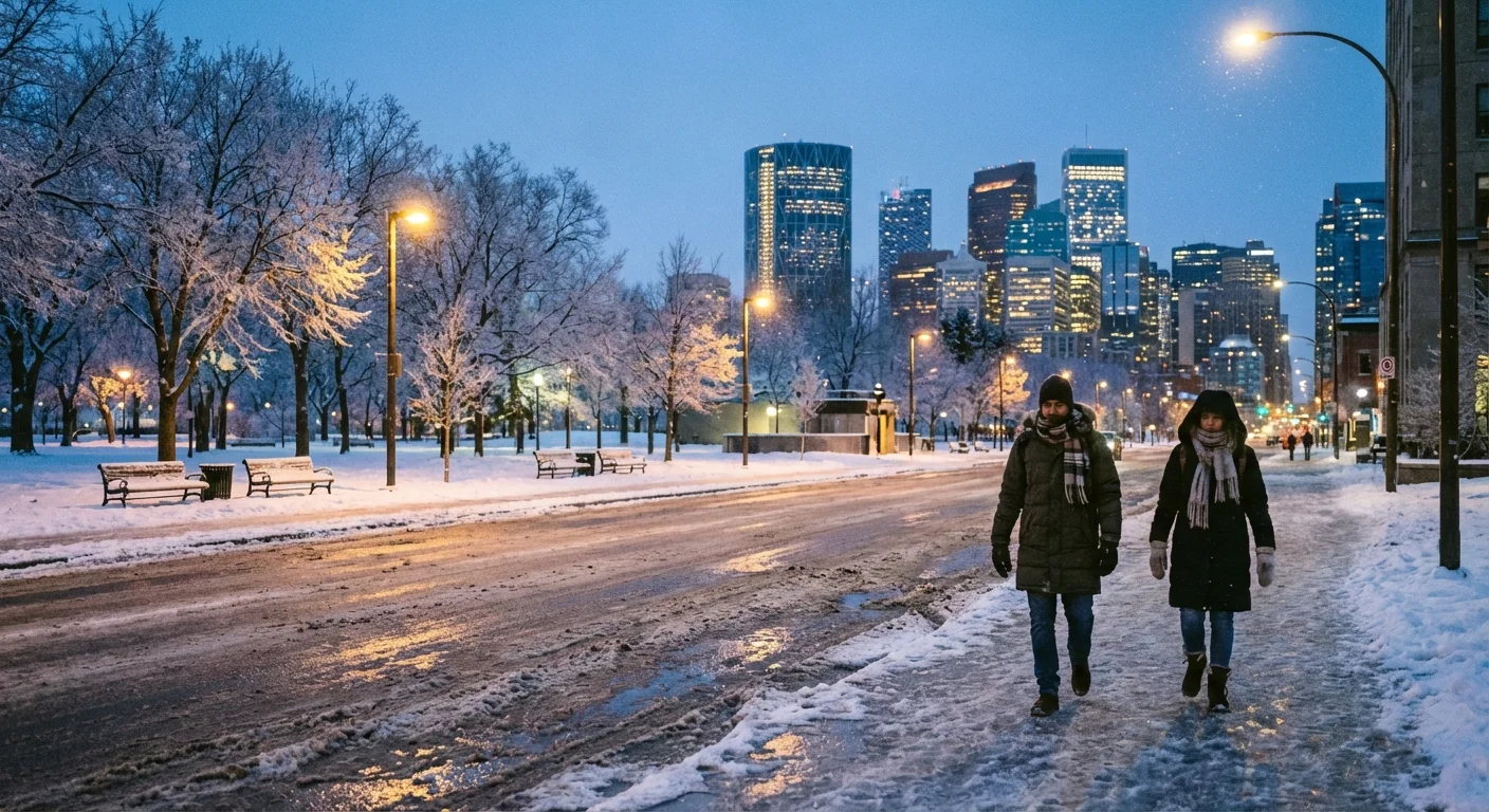
Safety and sustainability in the freeze
Cold snaps test our systems. Smart choices protect people and cut emissions at the same time. Plan journeys with extra time. Slow down and leave room to brake on ice. Shift non‑essential travel to daylight when surfaces are less icy.
Warm the person, not the whole home. Close doors to keep heat in one room. Layer clothing and use blankets. Set the thermostat steady to avoid big spikes in demand. If you drive, clear all windows, not just a porthole. Use gentle braking in second gear on packed snow. If you can, use public transport where gritting is focused.
Quick actions for today:
- Grit or sand steps and paths before sunset to block black ice.
- Charge phones and keep a torch in the car.
- Check on neighbors who may struggle in the cold.
- Bring in or cover bins and bikes to reduce slip hazards.
The climate picture behind the chill
A warmer world still gets winter. In fact, a warmer Arctic can pull the jet stream into wavier patterns at times. That can allow sharp bursts of polar air to dive south into the UK. We feel that as short, intense cold spells. At the same time, UK winters are warming overall. Snowfall days are down over the long term, and rain is more common. When cold does lock in, air can hold more moisture, so short snow events can be punchy.
Resilience is the lesson. Better home insulation cuts bills and keeps heat in during cold snaps. Heat pumps run well in steady cold, and clean power reduces the peaks that strain the grid. Greener roads with porous surfaces and smart gritting reduce ice risk and salt use. Trees and hedges slow wind, trap drifting snow, and cool our streets in summer. The tools we use for cold help with heat too.
Conclusion: The snow clock is ticking, but it is not a single time. Think windows, not minutes. Use radar, plan ahead, and move carefully. The Arctic air will ease, but tonight is bitter, and ice will bite. Stay warm, stay patient, and stay informed.


