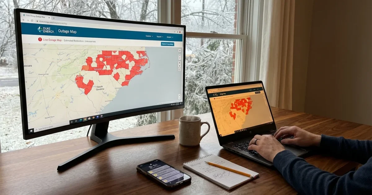
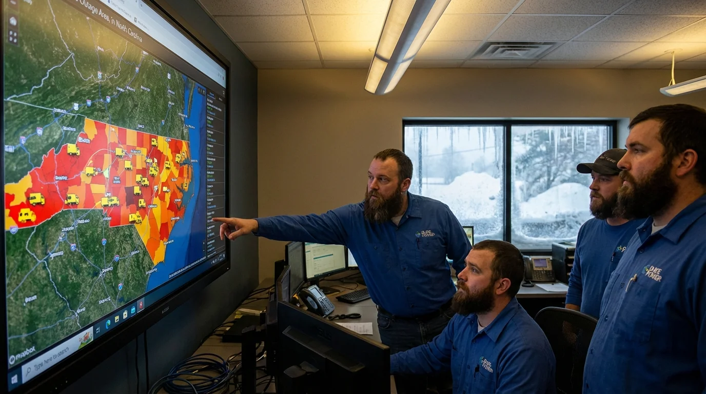
Ice is snapping limbs across the Carolinas this morning, and power is blinking out neighborhood by neighborhood. Sleet and freezing rain have iced lines, poles, and pines. I am tracking Duke Energy’s live outage map as crews race the storm. Conditions are still evolving, and restoration times will shift as fresh damage comes in. This is a dangerous, fast changing situation, and the map is your best window into what is happening on your street.
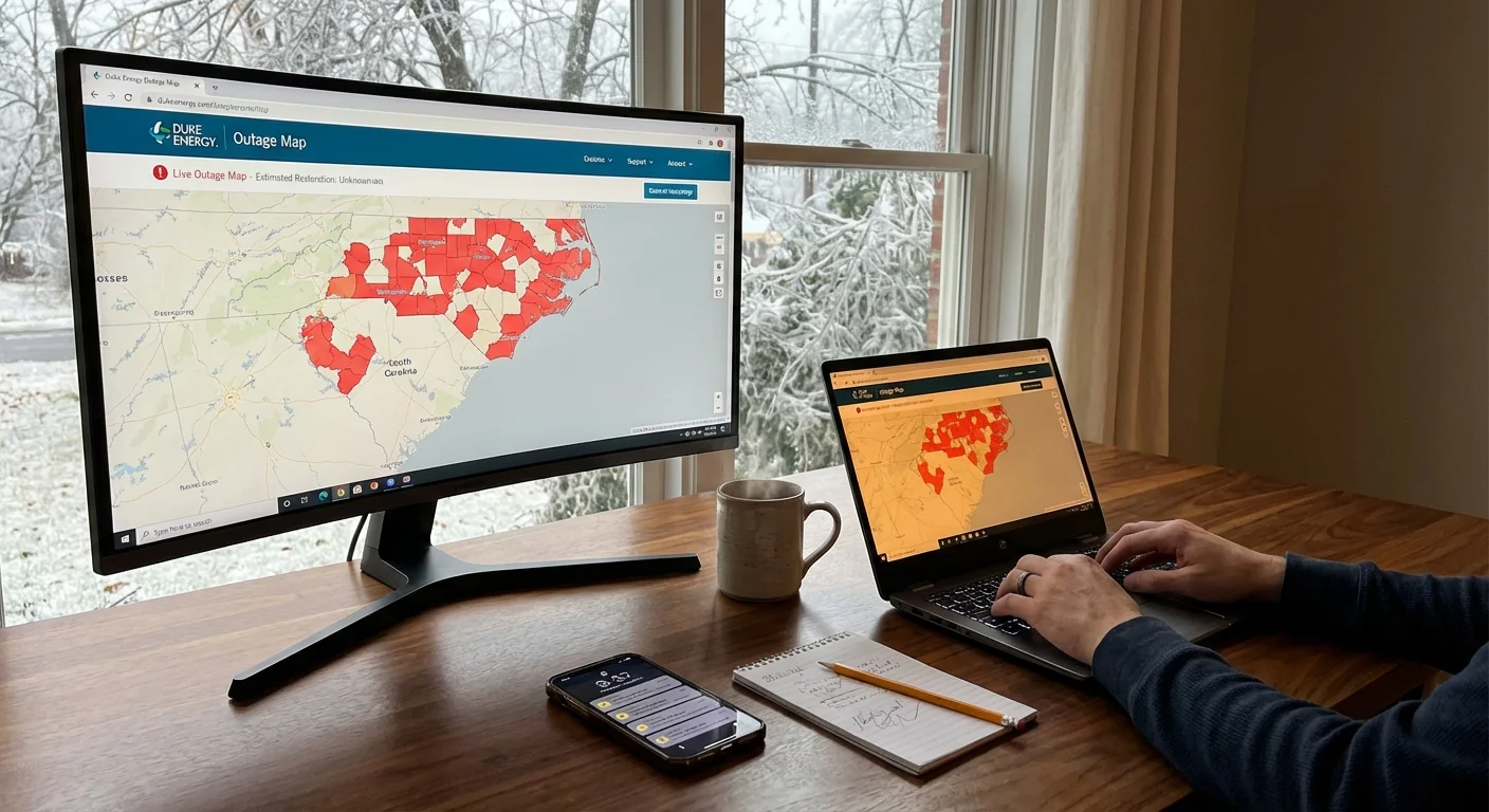
Power outages surge as ice builds
From the Upstate to the Triangle, pockets of heavy icing are pushing weak limbs onto lines. Cold air is trapped at the surface, while warmer, wetter air rides above it. That setup is classic for freezing rain east of the mountains. It turns rain into glaze on every exposed surface.
Duke Energy reports outages across multiple counties in North and South Carolina. Some clusters are small, a single blown fuse. Others are wide, where a main line is down. Crews have been staged, but icy roads and ongoing precipitation will slow work. Expect new outages even as repairs begin. That is common with storms that keep laying ice hour after hour.
How to use Duke Energy’s outage map right now
The map shows real time outages, crew status, and estimated restoration times. It updates as field teams assess damage. Use it to set your plans for heat, light, and charging.
- Enter your address or ZIP to zoom to your area.
- Tap outage clusters to see how many customers are affected.
- Select your location to view cause notes, crew assignment, and ETA.
- Refresh often. ETAs can change as crews find new damage.
What the icons and timers mean
Clusters point to the scale of the problem. Larger clusters often mean a damaged feeder or a broken pole. Crew icons indicate teams dispatched or on site. A restoration time is a best estimate based on what is known. If icing continues, times can slip, then tighten once crews complete a damage patrol.
Restoration windows are estimates, not guarantees. When ice keeps falling, every repair can reveal new breaks down the line.
Why this ice storm is hitting harder
This setup is familiar to the Carolinas, but the ingredients are warmer and wetter. The Atlantic and Gulf have been running warmer. A warmer ocean puts more moisture into storms. When that moisture rides over shallow cold air near the ground, it increases the risk of freezing rain.
Even as winters warm, the most damaging winter events can still strike. More moisture means heavier glaze when temperatures hover near 32 degrees. That extra load on trees and wires turns a marginal storm into a grid stress test. Cold air damming along the eastern slopes of the Appalachians adds staying power. It holds the cold in place while the conveyor belt of moisture keeps feeding in. ❄️
Safety and sustainability while the grid is stressed
Treat every downed line as live. Stay well back and call it in. Use flashlights, not candles. Generators belong outside, away from doors and windows. Never in a garage.
Downed lines can energize fences and puddles. Keep children and pets away. Carbon monoxide from generators is deadly. If you feel dizzy or faint, get fresh air and call 911. ⚠️
Heat is the biggest challenge in an outage. Close curtains, block drafts, and gather in one room. Layer clothing. Open cabinet doors to let warmer air reach pipes. Let faucets drip to prevent freezing.
- Charge phones and battery packs now.
- Set refrigerators to the coldest setting and keep doors closed.
- Prepare blankets, warm drinks, and a safe backup heat plan.
- Conserve power when service returns to ease the restart surge.
Save your phone battery. Lower screen brightness, turn on low power mode, and close background apps. Text instead of calling when possible.
A more resilient grid can blunt future storms. Undergrounding in key corridors, stronger poles, and insulated wires reduce tree damage. Smart switches can reroute power around faults. Local solar plus battery systems keep critical loads running in homes, schools, and community centers. These upgrades cost money, but they cut outage hours, truck rolls, and the very real human toll of cold homes.
What to expect next
Utility teams prioritize hospitals, emergency services, and main feeders first. Then they work down to neighborhood taps and single homes. That is why you might see lights on across the road before yours. It is not neglect. It is the fastest way to restore power to the most people.
Road ice, falling limbs, and limited daylight may slow crews today. Expect rolling updates on the map as assessments finish. If you do not see a crew yet, it likely means they are clearing higher voltage lines upstream. Your restoration depends on those lines coming back first.
Report your outage if you have not. Do not assume your neighbor’s call covers you. Keep phones charged. Check on neighbors, especially seniors and those with medical needs. When power returns, ease the load. Turn on heat, then bring appliances back in stages to avoid tripping the system again. ⚡
This storm will pass, but the pattern is a warning. Warmer seas, wetter air, and shallow winter cold make freezing rain more likely along the Piedmont. We can harden the grid, tend the trees, and build backup power where people gather. For now, keep the outage map close, stay safe, and let the crews work. I will continue monitoring conditions and will update as the ice breaks and lights return.

