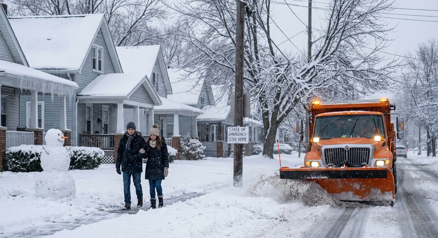
Ohio is now under a state of emergency as a major winter storm closes in. Governor Mike DeWine has activated the state to move fast, protect people, and keep roads clear. Forecast guidance shows widespread heavy snow, strong winds, and dangerous travel from tonight through the weekend. Some communities will see a foot of snow. Columbus will face severe disruptions. The Tri-State corridor could take the hardest hit, with 8 to 14 inches possible. ❄️
I am tracking the storm’s evolution and the ramp up in state response in real time. The message is simple. Prepare now, limit nonessential travel, and stay alert as conditions change quickly.
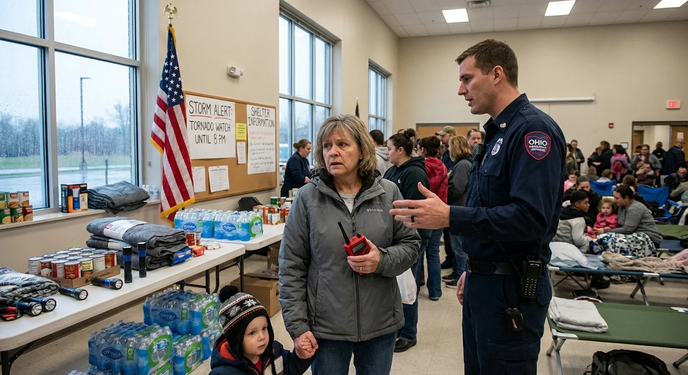
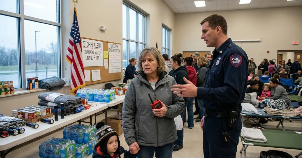
What the state of emergency means
The declaration unlocks people, equipment, and money. Plow crews, tow teams, and emergency managers can move where they are needed without delay. The state can request National Guard support if conditions worsen. Fuel and weight limits can be eased for supply trucks that keep hospitals, shelters, and utilities stocked. The order also speeds contracts for salt, brine, and road repairs.
For residents, it signals urgency. It does not mean panic. It means stay off the roads if you can, so crews can work. Local leaders may issue travel advisories. Follow your county EMA and city alerts closely.
If your job is not critical, avoid driving during the heaviest snow and wind. Give plows room to clear and treat roads.
Power crews are on standby for scattered outages, most likely where heavy, wetter snow clings to lines and gusts increase. Keep phones charged and devices ready.
The setup in the sky
This storm is a classic winter collision. A deep dip in the jet stream is pulling Arctic air into the Ohio Valley. At the same time, a strong low is drawing Gulf moisture north. Cold air, plus a fire hose of moisture, equals widespread snow. The snow will start light, then increase fast overnight. The peak looks to arrive Saturday into early Sunday. Winds will rise into the teens and 20s, with higher gusts in open areas. Blowing and drifting will reduce visibility, especially on east to west roads.
Temperatures hold near or below freezing statewide. That supports high snow ratios inland, lighter and more powdery snow that blows around. Closer to the Ohio River, snow may be a bit wetter at first. As the low pulls away, lake effect bands will fire on Sunday in the snowbelt, adding a second round for parts of Northeast Ohio.
Whiteouts are possible during heavier bands. If you lose the road edge, stop safely, and wait for visibility to improve. Never pass a plow.
What to expect region by region
Tri-State and the Ohio River
Cincinnati and the Ohio River counties sit near a strong snow band. Totals of 8 to 14 inches are possible by Sunday. The risk of heavy, wet snow early, then drifting as colder air deepens. Expect significant travel disruption on I-71 and I-75.
Central Ohio and Columbus
Columbus will face long-duration snow with dangerous roads. Totals of 6 to 10 inches are likely, with locally higher north and west of the city. Blowing snow Saturday night will keep road crews busy into Sunday morning.
Northeast Ohio and the snowbelt
Cleveland east to Ashtabula can see 6 to 10 inches from the main storm, with lake enhancement Sunday adding more in the primary snowbelt. Gusts off the lake will create drifting in open country.
Northwest and the I-75 corridor
Toledo and the far northwest can expect 5 to 9 inches, lighter, powdery snow that drifts easily. Rural routes and overpasses will ice fast, with busted visibility in squalls.
How to prepare in the final hours
Time is short, but smart steps now will pay off.
- Stock essentials, water, ready-to-eat food, medications, and pet supplies for 48 hours.
- Charge phones, battery packs, and flashlights, and gather blankets in one room.
- Set home heat a bit higher before peak snow, and open cabinets near sinks to protect pipes.
- Park off-street if possible, and clear storm drains and hydrants near your home.
- If you must drive, carry a kit, shovel, scraper, sand or kitty litter, and a bright cloth.
Check on neighbors, especially older adults and those with medical needs. Share warmth and information, it saves lives.
Climate context and resilience
Big snows in Ohio are not new. What is changing is the fuel they can tap. A warmer atmosphere holds more water vapor. When cold air and strong lift arrive, that extra moisture can turn into heavier snowfall. Lake temperatures that trend warmer in fall can extend lake effect season, then quick Arctic shots trigger intense bands. We are also seeing sharper swings from mild to frigid in winter, a sign of a tug of war in the jet stream.
Preparedness is climate resilience. Ohio DOT pre-treats with brine to reduce salt use, which protects streams and saves money. Residents can help by slowing down, giving plows room, and avoiding brine washouts. Utilities ask for energy conservation during peak loads to protect the grid and cut emissions. Small moves matter, seal drafts, lower thermostats a degree when safe, and use heavy curtains at night.
This storm will test roads, the grid, and our routines. The state of emergency is a tool to keep Ohio ahead of the worst impacts. Stay alert, act now, and let crews work. I will continue to monitor the storm, the snow totals, and the response, with updates as conditions evolve through the weekend.


