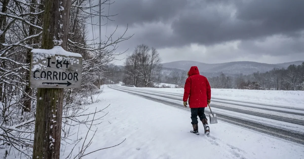
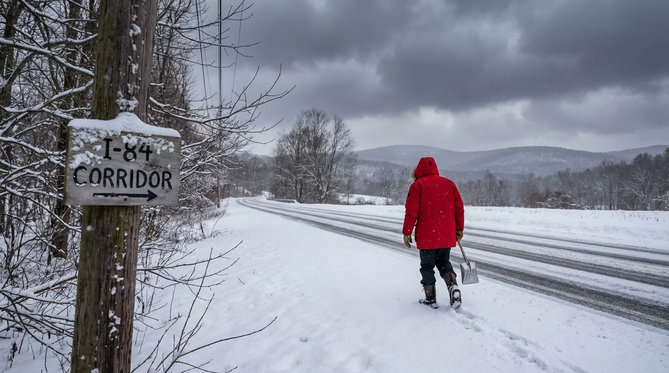
Snow is back in the weekend forecast, and this setup deserves your full attention. I am tracking a coastal system that will tap Atlantic moisture, pull cold air across Connecticut, and lay down fresh snow. The track is close, the temperatures are marginal near the shoreline, and the timing favors slick travel. Expect sharp differences between the coast and the hills, with impacts rising quickly if the storm hugs the sweet spot.
What is lining up over Connecticut
Here is the picture this afternoon. A low pressure system is organizing to our south. It will ride north along the coast late Saturday into Sunday. Cold air is in place inland, while the shoreline is milder after yesterday’s thaw. That split sets the stage for a coastal mix and an inland snow zone.
If the center tracks 50 to 100 miles farther east, colder air wins for more areas. That would push higher totals toward the I 84 corridor and the Litchfield Hills. A slightly farther west track would warm the lowest few thousand feet, leading to more sleet or rain near I 95, and lower totals at the shore.
Ground conditions matter too. We already have a base from the overnight snow. That helps new snow stick in the hills. Along the coast, warmer roads may eat the first inch or two, then turn slick fast once rates pick up.
Why the models disagree, in plain language
You will see different snowfall maps today. Here is why. The American model and the European model handle the storm’s path and temperatures a bit differently. Small changes near the coast have big effects here. One keeps the core just offshore, which favors colder air and fluffier snow inland. The other nudges it closer to Long Island, which brings slightly warmer air into the lowest levels near the shoreline.
Timing also matters. If the heaviest band arrives after sunset Saturday, cooling helps accumulation even near the coast. If the burst comes earlier, you lose some to melting on treated roads. Snow ratio is another piece. Powdery snow piles up faster than heavy wet snow. Inland, ratios could be higher. At the coast, wetter flakes compact and settle.
- What to watch in updates:
- The storm track position by Saturday morning
- Coastal temperatures just above the surface
- Onset time of the heaviest band
- Wind direction shifts that tug the rain snow line
Use model snow maps as a guide, not a promise. Focus on ranges and the rain snow line, not a single number.
Coastal to hill towns, big spread in totals
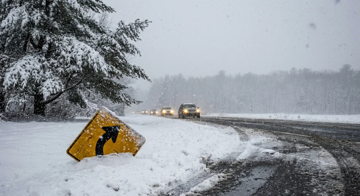
Plan for a coastal to inland gradient. Along I 95, a period of rain or sleet is likely, especially if the storm tracks close. That trims totals but raises the risk of heavy, pasty snow as temperatures drop late. From the Merritt north, colder air hangs on longer. Expect mainly snow from central valleys to the hills, with higher amounts where elevation climbs.
Higher elevations in Litchfield and Tolland counties could hold the cold best. If the storm’s banding sets up there, rates may top one inch per hour at times. Visibility would drop, roads would ice quickly, and drifting could begin if winds gust. In the valleys, lighter ratios and some mixing would cut totals a bit, yet travel would still be tough during the peak.
Remember the ground. Bare spots at the shore will take time to cool, then flip fast once snow intensity increases. Where snow cover remains from last night, new snow will stack more easily.
Travel, power, and community steps
I expect advisories, and possibly warnings, if confidence ticks up tonight. The core window runs late Saturday through early Sunday. Road crews will gain ground between bursts, but heavy banding can overwhelm any treatment. Plan on slower travel, poor visibility, and quick changes over short distances.
Wet snow near the coast adds weight to branches and lines. Inland, lighter snow is less taxing, but gusts can still drop limbs. Keep devices charged and clear vents and hydrants as you shovel.
Do not overuse salt. Sand and careful timing work well, and excess salt harms rivers, soil, and pets.
Sustainability starts on the block. Clear storm drains to reduce street flooding if mixing occurs. Use a shovel first, then a light melt product only where needed. Combine errands, or take transit if available, to cut emissions and keep roads clear for plows. Lowering heat a notch while you are active outside also eases grid demand during storms.
The climate signal behind a fickle winter
This storm is a classic example of winter in a warming world. The Atlantic is warmer, which loads storms with more moisture. That can mean heavier snow where cold air holds, but more mixing and rain near the coast. Small temperature changes decide the outcome. That is why gradients are sharper, and why totals swing so much over short distances.
Long term, we see fewer snow days at lower elevations, and more big, intense bursts when the pattern lines up. Weekend storms like this reflect both forces. Expect more cases where inland towns dig out from deep snow while the shoreline slogs through slush and rain, then freezes late.
Conclusion
I am tracking fresh guidance into the evening and will update the expected track, timing, and snow ranges as confidence grows. Keep plans flexible, prepare for slick roads, and watch for late shifts in the rain snow line. The smart move now is to get chores done early, rest the shovel, and be ready to pivot when the first flakes fly ❄️.


