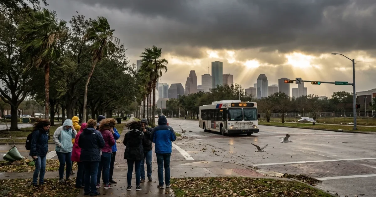
A sharp cold front snapped into Houston overnight, flipping our winter switch in a hurry. Morning arrived cloudy, raw, and loud. Temperatures sit near 47°F, but the north wind makes it feel colder. Gusts between 35 and 45 mph have rattled windows and snapped weak limbs. This is the first real cold punch of the season, and it is hitting hard.
What is happening right now
Cold, dry air surged in from the Plains and pushed warm Gulf air out to sea. The result is a thick cloud deck, choppy waters, and a rush of wind-driven chill. Highs will only reach the low to mid 50s this afternoon. Wind chills will linger in the mid 30s for much of the day, especially along the coast.
A wind advisory remains in effect west and south of the city, including coastal Harris County and Galveston. Expect the strongest gusts near open areas and along corridors that funnel wind toward the bay and Gulf. Conditions will stay blustery into the afternoon, then ease this evening.
Power and safety impacts
The wind did more than rattle trees. It knocked out power across the metro. Outages peaked near 31,276 overnight. About 27,000 CenterPoint customers remain without electricity as restoration continues. Entergy reports thousands of outages statewide, including hundreds in Montgomery County. Crews are moving circuit by circuit to clear limbs, replace hardware, and bring neighborhoods back online.
Transportation and public services are feeling it too. Traffic signals may be dark. Some water lift stations may be on backup power. Any outdoor work that involves lifts or cranes should pause until gusts drop.
Treat every downed line as live. Stay back, keep others away, and call 911.
Cold adds risk for seniors, children, and anyone without steady heat. If you rely on medical devices, have a backup plan in place and communicate with your support network now.
If you depend on powered medical equipment, confirm battery reserves and identify the nearest warming center before nightfall.
How this fits our changing climate
This chill follows a fall that felt like an extension of summer. Houston delayed its first seasonal brush with true cold. Now we have a fast flip to winter. That whiplash is a hallmark of our warming climate. Average temperatures are rising, especially at night, yet strong cold fronts still arrive. The warm season stretches longer, then fronts can produce sharp swings. We get fewer cold days overall, but the ones that do arrive can still be disruptive.
Warmer Gulf waters and a persistent autumn ridge kept us mild for weeks. Soil and vegetation dried out. When the door finally opened to northern air, the gradient favored strong winds. We should plan for more volatility like this, not less, in the years ahead.
The forecast through New Year
Tonight will be cold, with lows in the upper 30s across most of the metro. Some northern spots may dip a bit lower near sunrise. Wednesday looks like the coldest morning of the stretch. Expect readings in the low to mid 30s. A widespread hard freeze is not likely, but patchy frost is possible north and west of town.
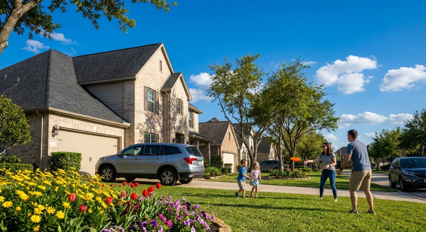
Clouds will thin midweek, and a warming trend begins around New Year’s Day. Highs return to the 60s, then likely the 70s by late week. Nights will also moderate. That rebound will take pressure off home heating and speed grid recovery.
Prepared now, resilient later
Use today’s event to protect your home and cut energy waste. Small steps matter in wind and cold.
- Seal drafts around doors and windows to keep heat in.
- Set thermostats to 68°F, wear layers, and use blankets to reduce load.
- Trim problem limbs near service drops when conditions allow and crews approve.
- Charge phones and battery packs, and keep flashlights handy.
Never run generators or grills indoors. Carbon monoxide is deadly, and it builds fast without warning.
This cold front is a reminder. Resilience is not just about storm season. It is year round. Smarter tree care reduces outage risk. Weatherizing homes lowers bills and emissions. Backup power for critical sites keeps neighborhoods safe when lines fail. Cities that plan for swings, not just averages, ride out shocks with less harm.
Houston knows wind and water. Today, it is wind and cold. We will get through this stretch, then warm into the new year. Use the break to prepare for the next turn in the weather. Our climate is changing, but our choices can make us safer, cleaner, and stronger. 🌬️


