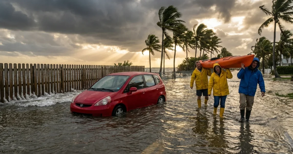
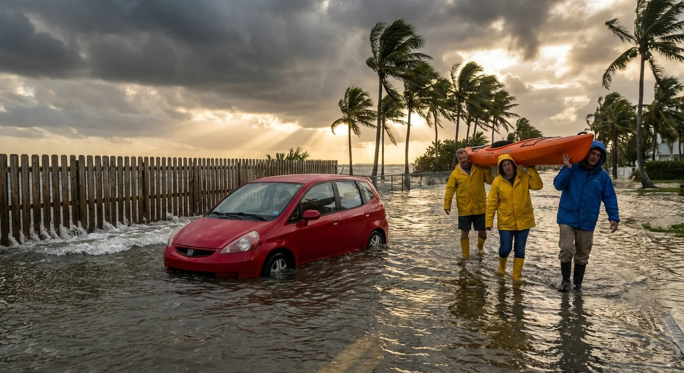
Breaking now: Coastal flood statements and advisories are up for parts of the New York City shoreline on Sunday. Expect minor flooding during high tides. This includes Staten Island, Brooklyn, and parts of Westchester County along the Long Island Sound. Water could cover shore roads for a short time. Basements in low spots may take on water. Creeks and tidal rivers may run high.
What is happening and who is in the zone
The National Weather Service has issued coastal flood statements and some advisories for Sunday. A statement means minor flooding is possible in known trouble spots. An advisory signals a higher chance of water on roads, in parks, and in low lots near the waterline.
Staten Island’s east and south shores face the main risk. Brooklyn’s shoreline, from Coney Island to Sheepshead Bay and up the Narrows, is in play. In Westchester, Sound-side towns are on alert. Tidal stretches of nearby rivers and creeks can also swell with each high tide.
A weekend weather system is pushing winds from the ocean toward the coast. The wind adds water on top of the normal tide. A low pressure system offshore, plus a full fetch over the Atlantic, will nudge levels just enough to cause nuisance flooding in vulnerable spots. That is often all it takes.
Timing the tides, timing the impacts
Plan for the highest risk around each high tide on Sunday. Impacts usually peak within one to two hours of the high mark. The exact time depends on your shoreline. Harbor sites often peak earlier than the western Long Island Sound. Sound-side towns tend to run later. If you live near the water, check the nearest tide gauge today.
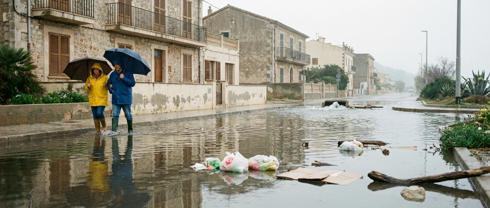
Water can push over bulkheads and curbs in brief surges. It drains back as the tide falls. That is why timing matters more than rainfall in this setup. Light rain may add to puddles, but the main driver is the wind and tide. Small rivers that meet the tide can also back up. Expect slower drainage near outfalls and marshes.
Look up Sunday’s high tides for your exact pier or inlet. Set an alert on your phone for one hour before the high mark.
What you can do right now
Think simple and early. These are small, quick floods. A few moves reduce your risk and stress.
- Move cars from known flood-prone streets and lots near the shore.
- Avoid storing boxes or electronics on basement floors today.
- Clear leaves from street drains near your home.
- Keep kids and pets away from seawalls and inlets during peak tides.
Never drive through flooded roads. Water can hide potholes and strong currents. Most flood deaths in cars happen in shallow water.
If you must travel, choose routes away from low causeways and parkways near the water. Use transit if it keeps you out of the flood zone. Expect brief road closures in spots that always flood at king tides. Beach erosion is not a major concern in this event, but splash-over can move sand and debris onto walkways.
Why this keeps happening
Minor coastal floods are getting more common in our region. Sea level has risen about a foot since the early 1900s. That extra foot raises the base waterline every day. Add onshore wind and a strong high tide, and what used to stay below the curb now reaches the street.
Warmer oceans also store more heat. That can deepen low pressure systems and sharpen wind fields along the coast. The result is more frequent days with just enough push to tip us into nuisance flooding. Drainage is another factor. High tides can block storm drains that empty to the harbor or the Sound. Water has nowhere to go until the tide falls.
A few inches of sea level rise can turn a once-a-year nuisance flood into a monthly problem. Today’s minor flood is tomorrow’s routine disruption.
What I am watching next
Advisories can escalate. If forecast water levels rise, statements can become watches or warnings. I am tracking wind speeds over the nearshore waters, pressure trends, and updated tide anomalies at key gauges. The next updates arrive with each model run and marine observation set this evening and overnight.
If you live in Staten Island’s east shore neighborhoods, South Brooklyn, or along the Westchester Sound coast, recheck conditions before each high tide on Sunday. Secure yard items that could float. Bring in trash bins. Make a quick plan with neighbors who park on low blocks. Small steps today prevent big headaches tomorrow.
This is a manageable event, not a crisis. Treat it with respect. Tide by tide, our coast is changing. Preparing for these minor floods now builds habits that protect us when bigger storms arrive. Stay tuned here for updates as the water levels and advisories evolve through the weekend.


