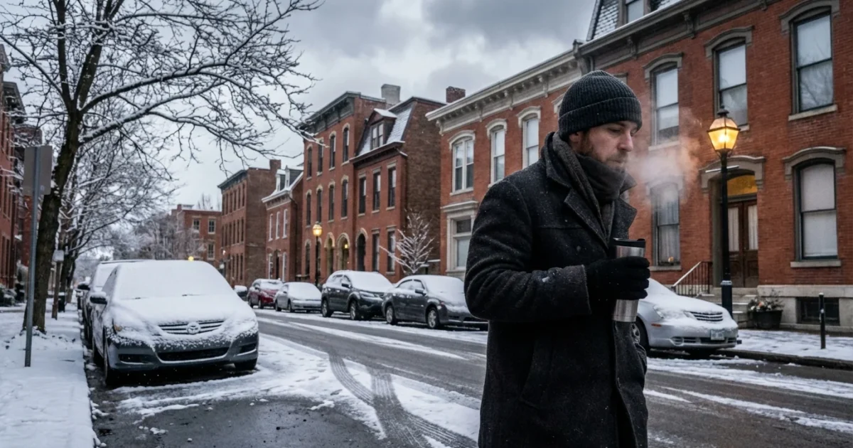
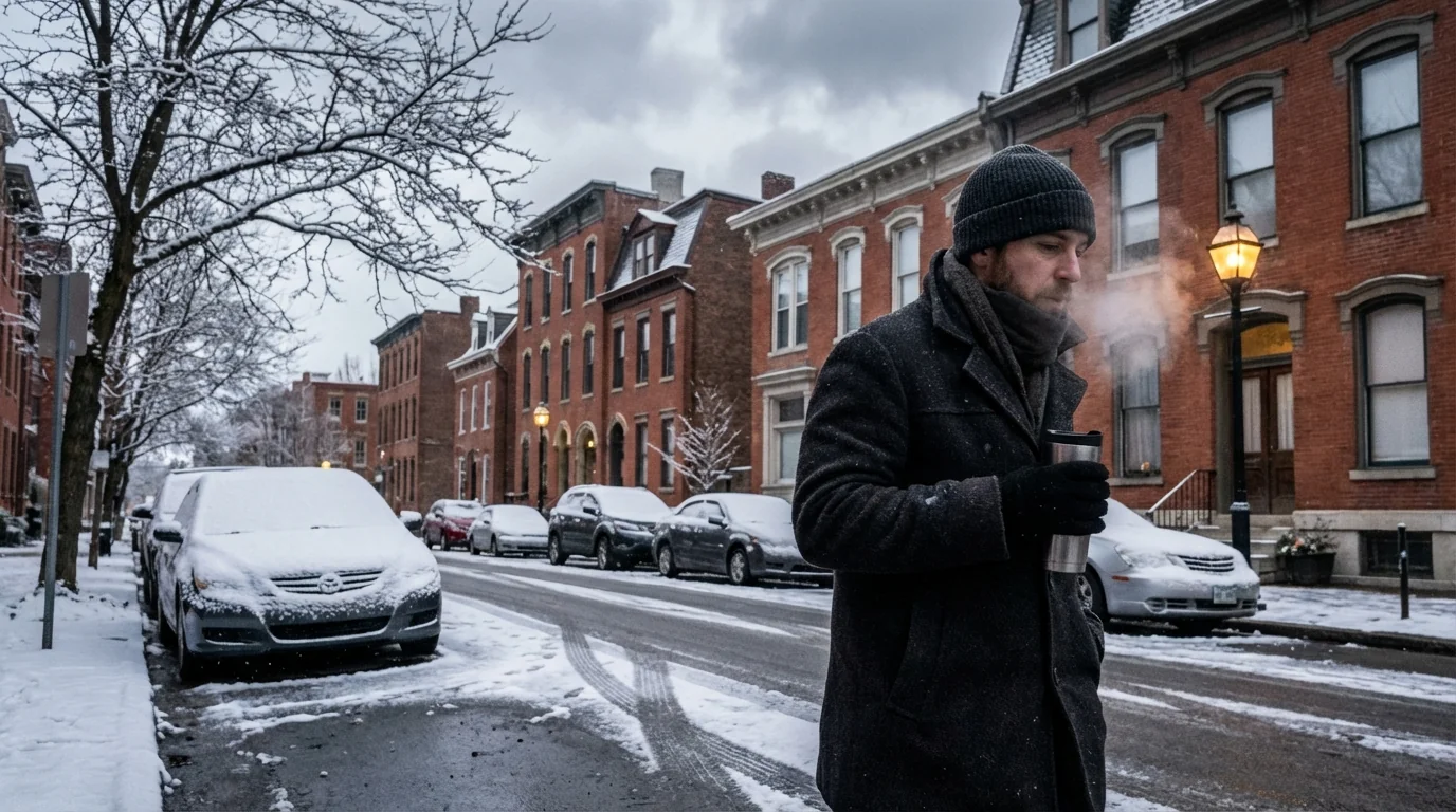
Light snow is coating Cincinnati right now, and the first commute of the day told the story. Temperatures sit near 29°F, about minus 2°C. Flurries will keep drifting through late morning, and roads remain slick in spots. I am tracking two rounds of accumulating snow into the weekend, with bitter cold to follow. This is a fast-changing setup, and it will affect how you travel, learn, and work today.
What is happening right now
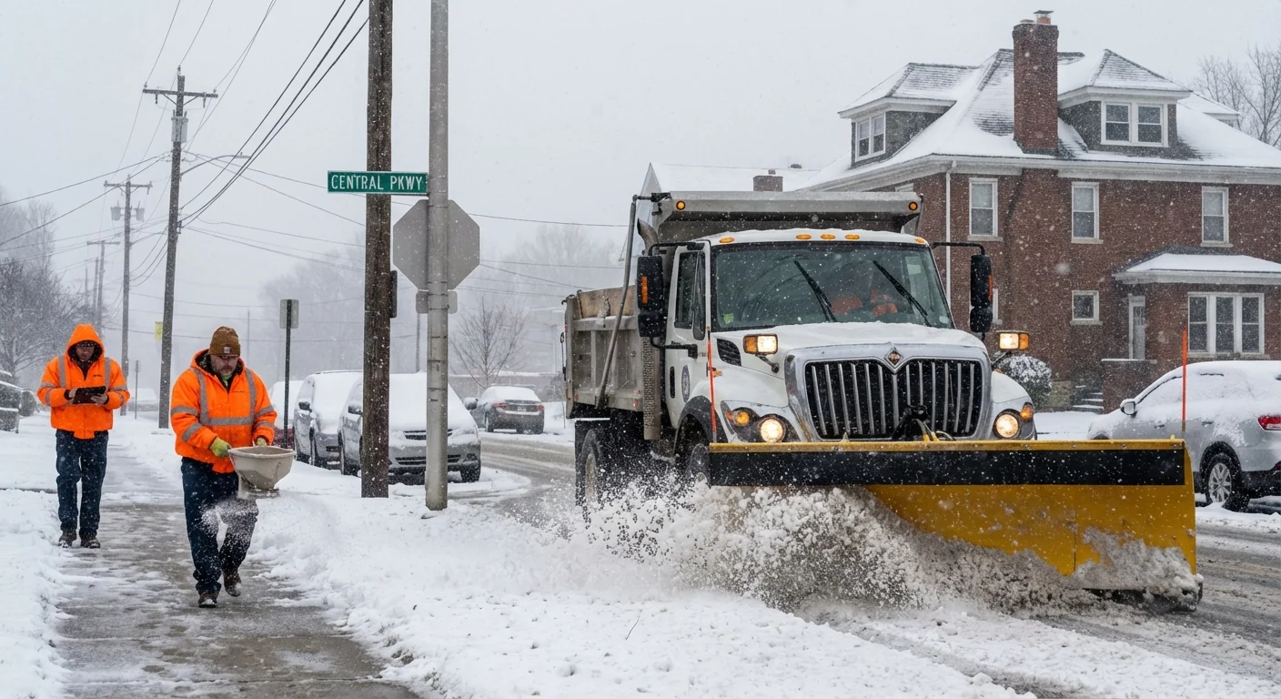
Snow showers continue across the city and suburbs. Pavement temperatures are near freezing, so bridges and ramps glaze first. That is where the slide risk is highest. I am seeing plows out in force, but light snow can quickly cover treated lanes between passes. Give crews room.
A Winter Weather Advisory holds through 10 a.m. Friday. Another, stronger push arrives Saturday. That one is under a Winter Storm Watch from Saturday morning through Sunday morning. Most neighborhoods pick up 2 to 4 inches by Friday morning, then another 2 to 4 inches Saturday. A few spots can reach 4 to 5 inches.
Friday morning and Saturday afternoon commutes carry the greatest risk for crashes, low visibility, and spinouts. Slow down, increase following distance, and avoid sudden braking.
The forecast timeline
- Thursday night to Friday morning, steady snow, 2 to 4 inches. Roads slick for the early drive.
- Friday midday and evening, lighter snow and flurries. Highs in the mid 30s, near 2°C, some melting on treated roads.
- Saturday, a second, broader shield of snow. Another 2 to 4 inches with pockets near 5 inches.
- Sunday into Monday, colder and windy. Single digit wind chills, icy patches refreeze overnight.
The storm path pulls Gulf and Ohio Valley moisture into cold air overhead. Lift from a passing low helps snow bands hold together. The Ohio River valley has warmed over the long term, but cold snaps still happen. Warmer air holds more water, which can load winter systems with extra moisture. When the temperature is just cold enough, that extra moisture becomes heavier snow.
City response and how to move safely
Cincinnati Public Services has crews on 12 hour shifts. They are pretreating, salting, and plowing priority routes, then neighborhood streets. The city’s snow plow tracker is back online, so you can check which routes were cleared most recently. I have also confirmed multiple early crashes, including a 3 vehicle collision on I 75. Expect school delays and sporadic closures as districts manage bus safety and staffing.
Schools and businesses will update plans through the morning and again Friday night. Check your district or employer directly before you head out.
Keep your car kit simple and ready. Clear all windows, not just a porthole. Pack gloves, scraper, a small shovel, and sand or cat litter for traction. Idling for long periods burns fuel and adds pollution, so limit warm up to what you need for clear glass.
Why this storm fits a larger climate pattern
Cincinnati winters are trending warmer over the decades, and the first freeze often arrives later in fall. Still, our snow risk has not vanished. When cold air presses south, the added moisture in a warmer atmosphere can boost snow rates. The Great Lakes are also freezing later in many years. Open water adds humidity to passing systems, which can enhance snowfall downwind.
What we do during storms also matters. Road salt is vital for safety, but it washes into creeks and the Ohio River. That harms fish, soils, and drinking water over time. We can keep people safe and protect waterways with smarter use.
- Shovel early and often, then use only as much salt as needed. A coffee mug per 10 sidewalk squares is enough.
- Scatter grains, not piles. If salt is left after the melt, sweep it up for reuse.
- Keep storm drains clear so meltwater can flow and refreeze less.
- Check on neighbors, especially seniors. Share a shovel or a ride if needed.
Use calcium chloride or magnesium chloride in extreme cold. They work at lower temperatures, so you can use less and reduce runoff.


