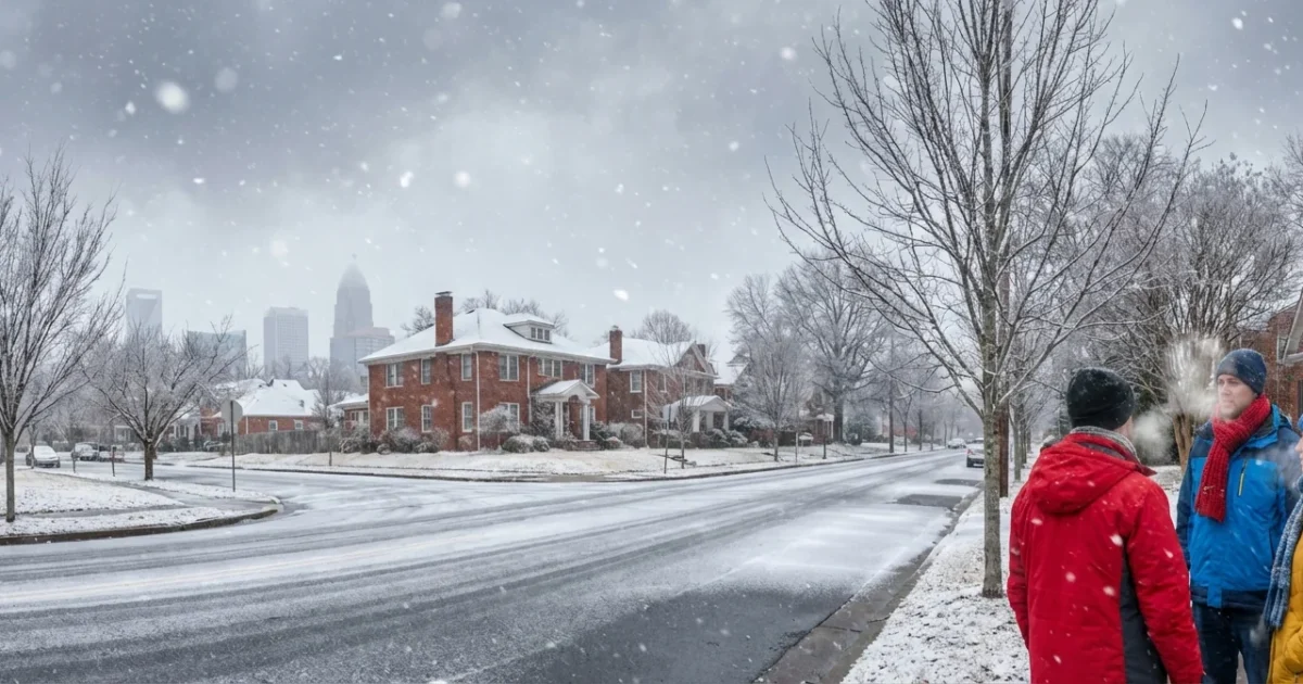
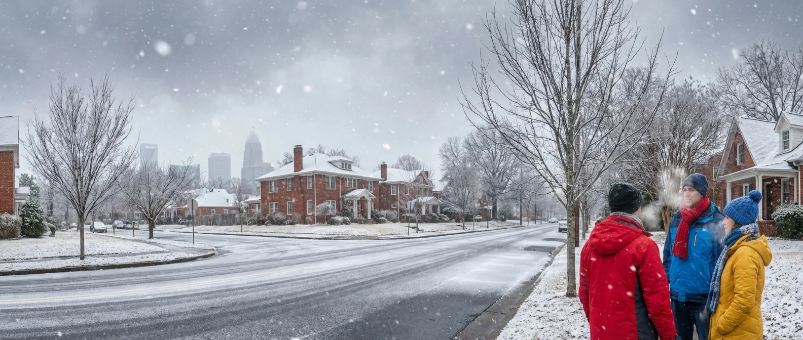
BREAKING: Charlotte sits on the knife’s edge as winter storm targets the Carolinas
A sharp winter storm is lining up for the Carolinas, and Charlotte is right in the balance. I am tracking a fast building system that pulls deep Gulf moisture into a cold pocket over the region. Western North Carolina has the best shot at heavy snow. The Charlotte metro sits near the rain and snow line, which means a small shift could flip us between wet roads, slush, or dangerous ice. This is a high impact setup for travel and power, even if totals end up modest. ❄️
The setup: a tight rain and snow line over the metro
Cold air is shallow across the Piedmont. Warm air rides in above it. That is the recipe for a wintry mix. If the storm track nudges south, colder air wins and we stack up snow. If it holds north, warm air aloft melts snowflakes, which can refreeze at the surface as sleet or glaze into freezing rain. That is when ice builds on trees and lines, which is the worst outcome for outages.
Moisture is not the question. The storm has plenty. The question is the exact path and the temperatures a few thousand feet up. I am watching that thin layer closely, since it decides who gets snow and who gets ice.
A 30 mile track shift can change Charlotte from a slushy snow to a damaging ice glaze.
When Charlotte should expect the worst
The storm organizes tonight and pushes in through the weekend. The most hazardous window lines up with the coldest hours.
- Late Friday night to early Saturday, first bands arrive, mainly rain south, mix north.
- Saturday pre dawn to mid morning, best chance for a snow and sleet mix in the metro.
- Saturday afternoon, mix may flip to cold rain in parts of the city, icy spots linger north.
- Saturday night into early Sunday, refreeze risk rises as temperatures drop, black ice forms.
Roads that look wet can flash to ice after sunset. Bridges and shaded spots go first.
Ice on trees and lines can cause power outages, even with light wind.
Travel and power: what to plan for
Visibility will drop in any burst of snow or sleet. Travel will be slow during the heaviest bands. The worst driving conditions often follow the storm as slush hardens overnight. Expect slick ramps, neighborhood hills, and untreated secondary roads to cause trouble. If ice takes the lead, scattered to localized outages become likely, especially on the north and east side of the metro where colder air pools.
Tree limbs under glaze can snap and block roads. Crews can be delayed by icy routes. Keep a safe following distance, and do not crowd salt trucks. If you must travel, pack a blanket, water, and a phone charger. If you lose power, report it fast, then switch off major appliances so the grid can stabilize when power returns.
Prepare now, and do it the sustainable way
You can be ready without wasting energy or harming streams with excess salt. Small choices matter during storms and over the long run.
- Charge phones, lights, and battery packs, store them off cold windows.
- Set your thermostat a little lower during the day, close curtains to hold heat.
- Use traction sand or a light hand with salt, protect nearby plants and drains.
- Check flashlights, not gas generators, in attached garages for safety and air quality.
- Keep your EV at a moderate state of charge, precondition while still plugged in. 🔌
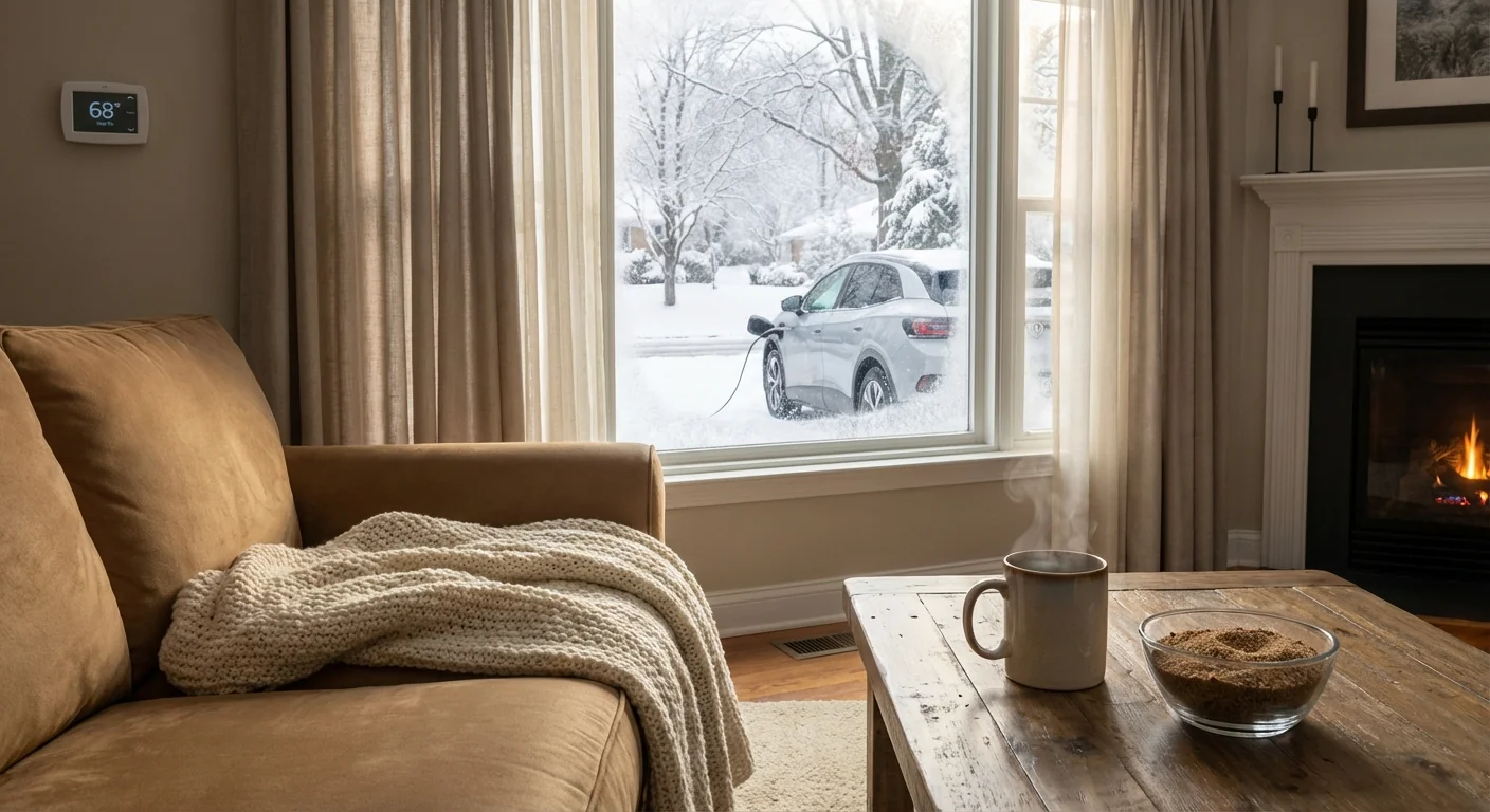
Charge phones and battery packs now, and keep them warm to hold charge.
The climate signal behind this storm
Winters in the Southeast are warming, yet big snow is still possible when cold air and moisture line up. A warmer atmosphere holds more water vapor, which can fuel heavier precipitation. When near freezing layers stack up, that extra moisture often falls as sleet or freezing rain in Charlotte, not powdery snow. That is why mixed storms are becoming a more common headache here, with higher ice risk and more stress on trees and lines.
Storm tracks are also shifting as the jet stream bends in larger swings. That sets the stage for sharp gradients, like the one over our city today. One neighborhood can see slush, while another has a glaze.
What I am watching next
I am locked on three pivot points. First, the storm’s exact low pressure path along the Southeast coast. Second, the temperature a few thousand feet up, since that decides snow versus ice. Third, how fast cold air drains back in Saturday night. A quicker drop means widespread refreeze and black ice by early Sunday.
I will update timing and type through the day as new data arrives. If the colder track verifies, Charlotte can expect more snow and sleet. If the warmer layer noses in, ice risk rises, especially north of Uptown and along I 77 into the Lake Norman area.
Bottom line
Charlotte, plan for a disruptive weekend. Expect a wintry mix, slick roads, and a risk of outages if ice forms. The details will shift, but the smart move is the same. Finish errands today, charge up, and avoid non essential travel during the heaviest precipitation. Keep safety first, care for neighbors, and make choices that protect our homes and our environment. I will keep you ahead of every turn as this storm unfolds.


